- Shire of Murweh
-
Shire of Murweh
Queensland
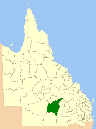
Location within of the shire in QueenslandPopulation: 4,910(2010)[1] Established: 1879 Area: 40742.5 km² (15,730.8 sq mi) Mayor: Mark O'Brien Council Seat: Charleville Region: Maranoa State District: Warrego Federal Division: Maranoa LGAs around Shire of Murweh: Blackall-Tambo Blackall-Tambo Central Highlands Quilpie Shire of Murweh Maranoa Paroo Paroo Paroo The Shire of Murweh is a Local Government Area in the Maranoa region of Queensland, Australia. The administrative centre and largest town in the shire is Charleville.
Contents
History
Murweh Division was created on 11 November 1879 as one of 74 divisions around Queensland under the Divisional Boards Act 1879. With the passage of the Local Authorities Act 1902, it became a shire on 31 March 1903. Charleville was separately run by a Town Council between 21 March 1894 and 10 September 1960.[2]
Towns and localities
- Charleville
- Augathella
- Bakers Bend
- Cooladdi (ghost town)
- Morven
- Nive
- Sommariva
Population
Year Population 1933 6,141 1947 5,930 1954 7,532 1961 7,845 1966 7,483 1971 6,053 1976 5,585 1981 5,338 1986 5,287 1991 5,291 1996 4,962 2001 4,975 2006 4,580 References
- ^ Australian Bureau of Statistics (31 March 2011). "Regional Population Growth, Australia, 2009–10". http://www.abs.gov.au/ausstats/abs@.nsf/Products/3218.0~2009-10~Main+Features~Queensland?OpenDocument. Retrieved 11 June 2011.
- ^ Queensland Archives. "Agency Details - Charleville Town Council". http://www.archivessearch.qld.gov.au/Search/AgencyDetails.aspx?AgencyId=560. Retrieved 12 June 2011.
Local Government Areas of Queensland South East Brisbane · Gold Coast · Ipswich · Lockyer Valley · Logan · Moreton Bay · Redland · Scenic Rim · Somerset · Sunshine CoastWide Bay-Burnett Darling Downs Central Central Highlands · Gladstone · Isaac · Mackay · Rockhampton · WoorabindaNorth Far North Aurukun · Cairns · Cassowary Coast · Cook · Hopevale · Kowanyama · Lockhart River · Mapoon · Napranum · Northern Peninsula Area · Pormpuraaw · Tablelands · Torres · Torres Strait Islands · Weipa · Wujal Wujal · YarrabahNorth West Central West South West Coordinates: 26°24′05.58″S 146°14′22.75″E / 26.40155°S 146.2396528°E
Categories:- Populated places established in 1879
- 1879 establishments in Australia
- Local Government Areas of Queensland
- Australian Aboriginal placenames
- Queensland geography stubs
Wikimedia Foundation. 2010.