- Morven, Queensland
-
Morven
Queensland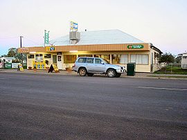
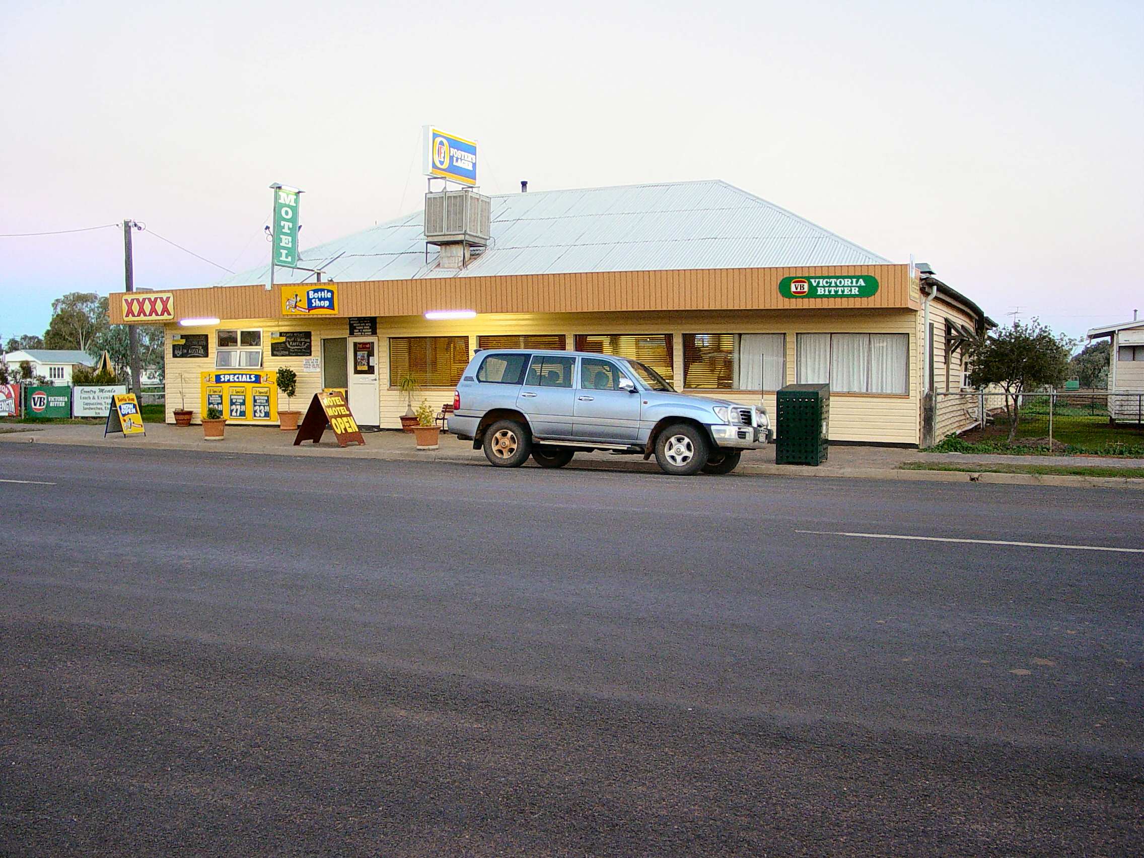
Hotel
 Morven
Population: 276[1] Postcode: 4468 Location: - 665 km (413 mi) WNW of Brisbane
- 177 km (110 mi) W of Roma
- 91 km (57 mi) E of Charleville
LGA: Murweh Shire Council State District: Gregory Federal Division: Maranoa Morven is a town in western Queensland, Australia. The town is located on the Warrego Highway, 91 kilometres (57 mi) east of Charleville and 665 kilometres (413 mi) west of Brisbane. At the 2006 census, Morven had a population of 276.[1]
In 1859, a small area was taken from the property Victoria Downs and set aside for public use and designated on maps and documents as 'Victoria Downs Reserve'. It was on the mail route from Brisbane to Charleville. Later it became informally known as 'Sadlier's Waterhole' after Captain TJ Sadlier and his wife camped at the property. When officially surveyed in 1880, it was officially given the name Morven.[citation needed]
Nearby is the Tregole National Park.
References
- ^ a b Australian Bureau of Statistics (25 October 2007). "Morven (Murweh Shire) (State Suburb)". 2006 Census QuickStats. http://www.censusdata.abs.gov.au/ABSNavigation/prenav/LocationSearch?collection=Census&period=2006&areacode=SSC36807&producttype=QuickStats&breadcrumb=PL&action=401. Retrieved 2008-07-05.
Coordinates: 26°24′58″S 147°06′58″E / 26.416°S 147.116°E
Categories:- Towns in Queensland
- Queensland geography stubs

Wikimedia Foundation. 2010.