- Warrego Highway
Infobox Australian Road
road_name = Warrego Highway
route_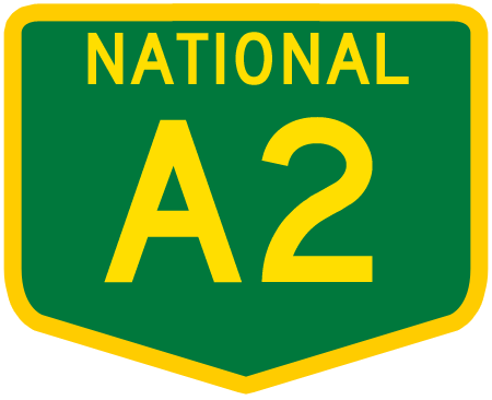
route_
route_
photo =
caption = Formerly
see other current route numbers below
length = 721
direction = Northwest - Southeast
start =
finish =
est =
through = Morven, Mitchell, Roma, Miles, Dalby, Toowoomba
route = "Mitchell Highway - Landsborough Highway:"
exits =The Warrego Highway is located in southern
Queensland ,Australia . It connects coastal centres to the south western areas of the state, and is approximately 750 kilometres in length. It takes its name from theWarrego River , which is the endpoint of the highway. The entire highway is part of the National Highway system linking Darwin andBrisbane : formerly National Highway 54, Queensland began to convert to the alphanumeric system much of Australia had adopted in the early-2000s and is now designated as National Highway A2.Route
The highway commences at the end of the M7
Ipswich Motorway , near Ipswich, and climbs theGreat Dividing Range to Toowoomba. The first section of highway between Ipswich and Toowoomba ismotorway grade, a four lane divided highway with motorway-style on-ramps and off-ramps.From Toowoomba, it then crosses the
Darling Downs and continues to Charleville where the road is two lanes with many passing lanes along the route.peed Zones
*Ipswich - Blacksoil 100km/h
*Blacksoil - Brisbane Valley Highway Junction 80km/h
*Brisbane Valley Highway Junction - Withcott 100km/h
*Withcott - Great Dividing Range 70km/h to 100km/h
*Through Toowoomba 60km/h
*Toowoomba - Charleville 100km/h except sections between Toowoomba and Chinchilla at 110km/hFrom east to west, the highway passes through or close to the cities and major towns of:
*Ipswich
*Gatton
*Toowoomba
*Oakey
*Dalby
*Chinchilla
*Miles
*Roma
*Mitchell
*Morven
*Charlevilleee also
*
Highways in Australia
*List of highways in Queensland
Wikimedia Foundation. 2010.