- Shire of Aurukun
Infobox Australian Place | type = lga
name = Shire of Aurukun
state = qld
imagesize= 180
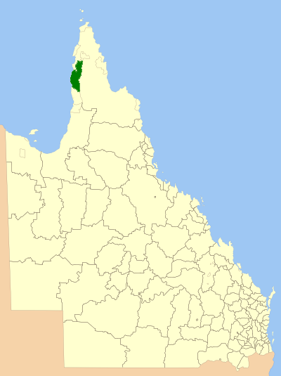
caption = Location withinQueensland
pop = 1,032 (2001 census)
area = 7500
est = 1978
seat = Aurukun
mayor = Neville Pootchemunka
region =Far North Queensland
url = http://www.aurukun.qld.gov.au/
stategov = Cook
fedgov = Leichhardt
near-nw = "Gulf of Carpentaria "
near-n = Cook
near-ne = Cook
near-w = "Gulf of Carpentaria "
near-e = Cook
near-sw = "Gulf of Carpentaria "
near-s = Cook
near-se = CookThe Shire of Aurukun is a Local Government Area in the State ofQueensland ,Australia . It is located on the western side of theCape York Peninsula adjacent to theGulf of Carpentaria .Census 2001 statistics
On Census Night,
7 August 2001 , there were 1032 people counted in Aurukun Shire. 87.6% identified as being of indigenous origin. Themedian age was 26 years. 94.6% stated that they were Australian-born.External links
* [http://www.aurukun.qld.gov.au/ Official site]
* [http://www.aurukun.qld.gov.au/109.html Map of the Aurukun Shire]
Wikimedia Foundation. 2010.