- Mount Everts
-
Mount Everts 
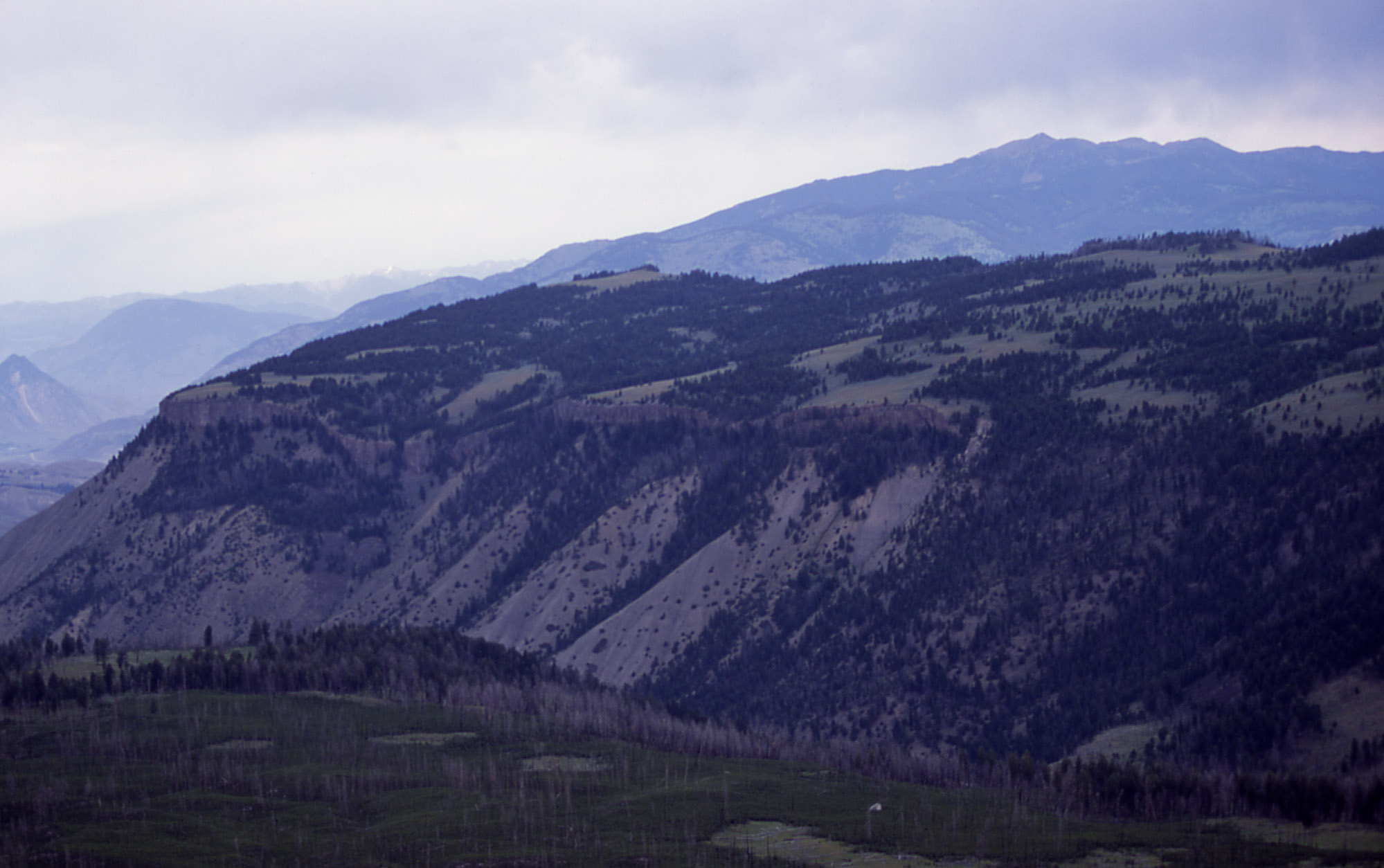
Aerial view of Mount EvertsElevation 7,831 ft (2,387 m) [1] Location Yellowstone National Park, Park County, Wyoming, USA
 Mount Everts
Range Gallatin Range Coordinates 44°58′30″N 110°39′41″W / 44.975°N 110.66139°WCoordinates: 44°58′30″N 110°39′41″W / 44.975°N 110.66139°W[1] Topo map USGS Mammoth Mount Everts el. 7,831 feet (2,387 m) is a prominent mountain peak in Yellowstone National Park, Wyoming near Mammoth Hot Springs. The peak was named for Truman C. Everts, a member of the Washburn–Langford–Doane Expedition of 1870. Mount Everts is located immediately due south of Gardiner, Montana and due east of Mammoth Hot Springs.
History
Mount Everts was named by Henry D. Washburn shortly after the rescue of Truman C. Everts who had been lost for 37 days in Yellowstone at the conclusion of the Washburn Expedition. During the expedition, Washburn named a peak in the Thorofare region south of Yellowstone Lake for Everts, but later changed it to the current peak believing it was very near the location of Everts rescue. In fact Everts was actually rescued much farther north near Blacktail Deer Creek.[2]
Images of Mount Everts 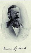 Mount Everts' namesake, Truman C. Everts
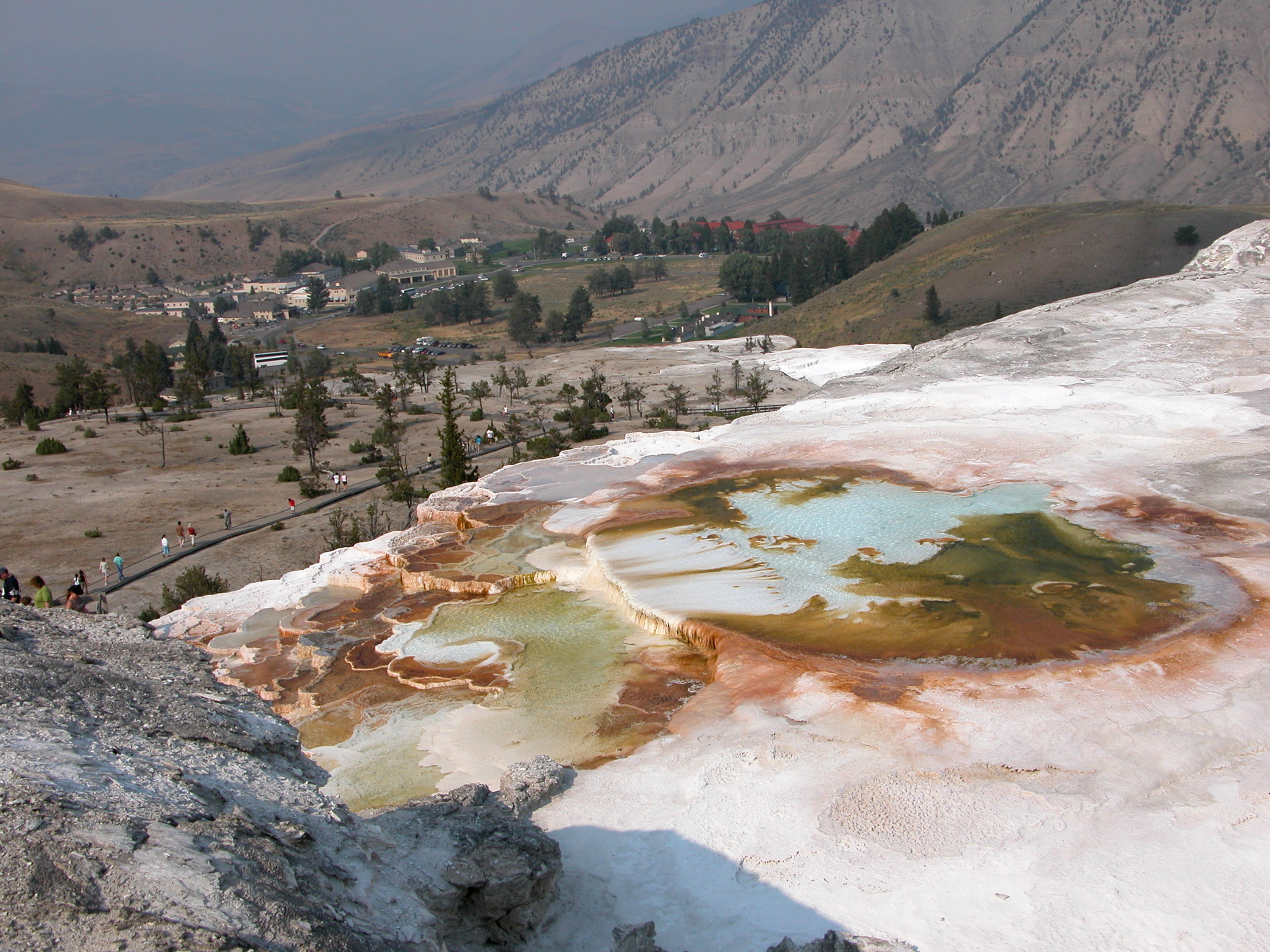
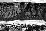 From Mammoth terraces
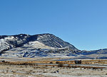
See also
Notes
- ^ a b "Mount Everts". Geographic Names Information System, U.S. Geological Survey. http://geonames.usgs.gov/pls/gnispublic/f?p=gnispq:3:::NO::P3_FID:1588354. Retrieved 2009-12-28.
- ^ Haines, Aubrey L. (July 1972). "Lost in the Wilderness-Truman Everts' 37 Days of Terror". Montana Magazine of Western History (Helena, MT: Montana Historical Society) XXII: 31–41.
Historic structures and other attractions in the Mammoth Hot Springs area Structures and History Fort Yellowstone • Mammoth Hot Springs Historic District • North Entrance Road Historic District • Obsidian Cliff Kiosk • Roosevelt Arch • U.S. Post Office (Yellowstone National Park)
Geography and Geology Antler Peak • Bunsen Peak • Clagett Butte • Electric Peak • Gallatin Range • Gardiner, Montana • Gardner River • Gray Peak • Kingman Pass • Joseph Peak • Mammoth Hot Springs • Mount Everts • Obsidian Cliff • Sepulcher Mountain Sheepeater Cliff • Terrace Mountain • Yellowstone RiverList of Yellowstone National Park related articles
 Media related to Mammoth Hot Springs at Wikimedia Commons
 State of Wyoming
Cheyenne (capital) Topics Governors · Delegations · Geography · Government · History · People · Visitor Attractions · State Symbols · Radio Stations
Society Crime · Demographics · Economy · Education · Politics
Regions Cities Counties Categories:- Mountains of Yellowstone
- Mountains of Wyoming
- Geography of Park County, Wyoming


Wikimedia Foundation. 2010.