- Gallatin Range
Geobox | Range
name=Gallatin Range
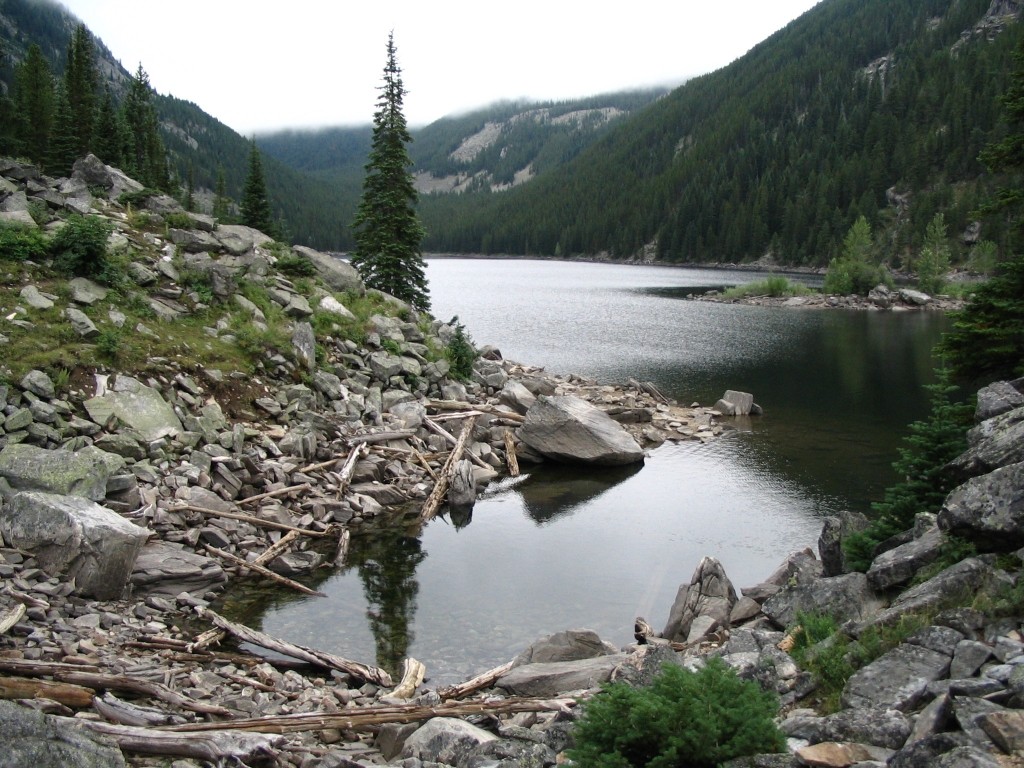
image_caption=Lava Lake in the Gallatins
country=United States
state=Montana|state1=Wyoming
parent=Rocky Mountains
border=
highest=Electric Peak
highest_elevation_imperial=10969
highest_lat_d=45|highest_lat_m=00|highest_lat_s=19|highest_lat_NS=N
highest_long_d=110|highest_long_m=50|highest_long_s=12|highest_long_EW=W

map_caption=The Gallatin Range is located in the
U.S. state s ofMontana andWyoming and includes more than 10 mountains over ft to m|10000. [cite web | url =http://www.peakbagger.com/range.aspx?rid=14401| title =Gallatin Range | format =| work = | publisher = Peakbagger | accessdate = 2007-03-18] The highest peak in the range isElectric Peak at ft to m|10969. [cite web | url =http://www.topoquest.com/map.asp?lat=45.00528&lon=-110.83667&datum=nad27&u=4&layer=DRG&size=l&s=50| title =Electric Peak, USGS Electric Peak (MT,WY) Topo Map | format = Map| work = | publisher = TopoQuest | accessdate = 2008-07-04] The Gallatin Range was named afterAlbert Gallatin , the longest-serving US Secretary of the Treasury and one of the negotiators of theAlaska Boundary Treaty . The range extends mi to km|75 north to south and averages mi to km|20 in width.The southernmost peaks of the range are in the northwestern section of
Yellowstone National Park , however the majority of the range is inGallatin National Forest . TheYellowstone River flows north on the eastern flank of the range. TheMadison Range parallels the Gallatins to the west. The northern end of the range is nearLivingston, Montana andBozeman Pass separates the Gallatins from theBridger Mountains to the north. The range is an integral part of theGreater Yellowstone Ecosystem and hasgrizzly bears , wolves and other threatened andendangered species also found in Yellowstone National Park.The Gallatin Range has one of the largest petrified forests of theEocene epoch. Petrified trees are mineralized fossils of what was once wooden tree trunks. The petrified trees found in the Gallatin Range were covered by lava and ashflows from volcanic activity approximately 50 million year ago. TheU.S. Forest Service has a 2 mile (3.2 km) long interpretive trail which details the petrified trees. [cite web | url =http://www.earthmaps.com/webvers513.pdf| title =The Gallatin Petrified Forest | format = pdf| work = A Hike Through a 50 Million Year Old Forest| publisher = Earthmaps | accessdate = 2007-03-18]Cited references
Wikimedia Foundation. 2010.