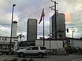
- Downtown Tijuana
-
Río Zone — Central business district — Zona Río
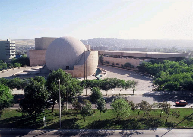
Río ZoneView of Río Zone
Nickname(s): El Río State  Baja California
Municipality Tijuana Borough Delegation Center Downtown Tijuana, commonly known as Zona Río or Río Zone, is the Central business district (CBD) of Tijuana.
Zona Río is located at a strategic point, in the north of the city, about 1 mile (1.6 km) from the U.S.-Mexico border and 9 miles (14 km) from Centre City in San Diego. The Río Zone is within the Centre borough, a main borough of Tijuana, and close to Tijuana International Airport. The Río Zone, as the CBD of Tijuana, is home to most of the commercial and financial businesses in the city as well as the city's main health services. The majority of Tijuana's banks, hotels, shopping squares, large hospitals, restaurants, and many other businesses are headquartered here, along Zona Río's three main avenues.
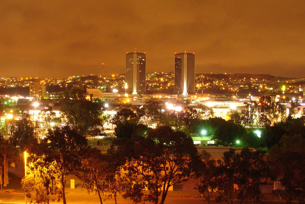
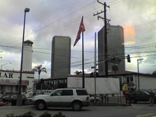
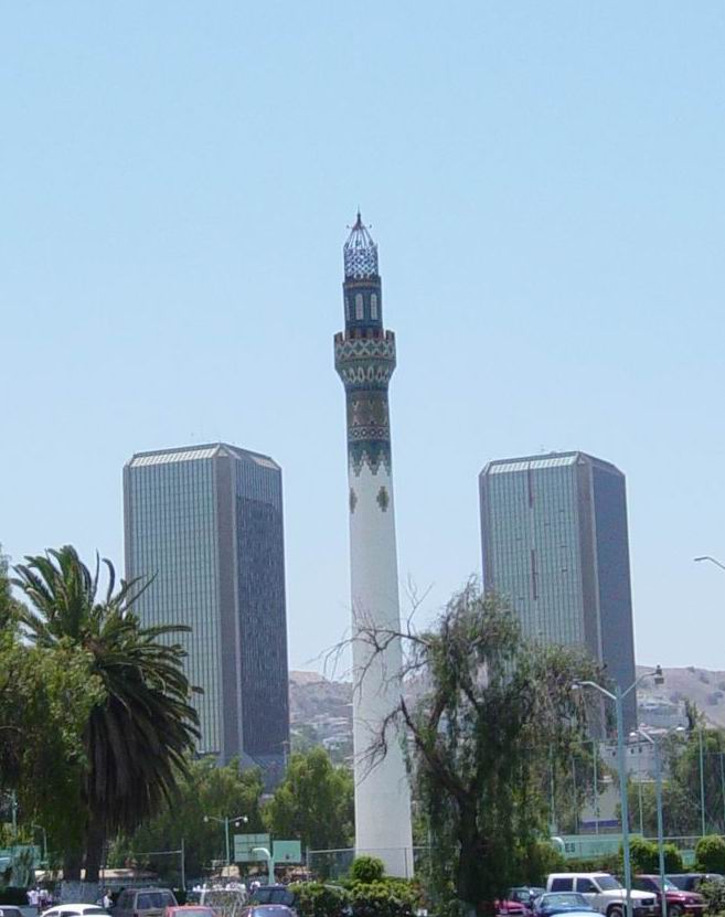
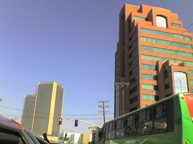
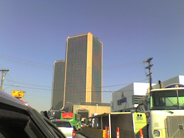
Although being comparatively small in comparison with other Mexican cities central business districts , such as those of Monterrey and Guadalajara, Zona Río has notable skyscrapers, which due to the relative distance between them, are very prominent. The tallest buildings are the 28-story twin towers that are home for the Plaza Aguacaliente and Grand Hotel Tijuana, commonly known by locals as Las Torres or The Towers.
Contents
Name
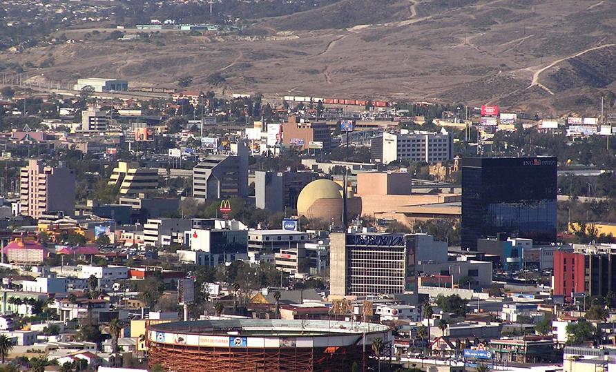
 Rio Zone in 2005
Zona Río literally translates into English as River Zone This name is owed to the nearly-dried Tijuana River, which divides Zona Río. The river is crossed by many bridges to allow traffic between the west side of Zona Río, located at the west-center of the city, and the east of Zona Rio, located in the east-center of Tijuana.
Principle avenues
Road of the Heroes Avenue

One of the most important avenues in the whole city of Tijuana is the Road of the Heroes (Paseo de los Héroes). Along this avenue are located most of the financial, commercial, and touristic businesses of Zona Río and the entire city. Insurance companies, numerous banks, such as BBVA-Bancomer and Banamex, and shopping squares, such as Plaza Río Tijuana, the largest mall in the city, have their headquarters in this avenue. The cultural heart-point of the city, the Tijuana Cultural Center, is on Paseo de los Héroes. Two recently-built skyscrapers are exclusively occupied by two different hospitals and its corporations. Most of the high-end hotels of the entire city are located in Paseo de los Héroes avenue.
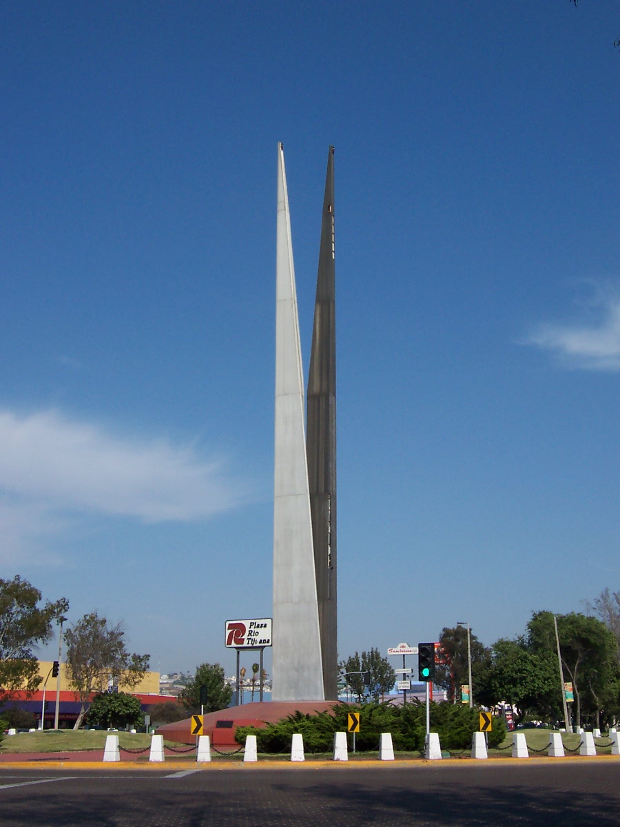
Paseo de los Héroes is also noted for its many monuments and sculptures, like the Monumento a la Raza (Spanish for Monument to the Race), the Abraham Lincoln statue, the Ignacio Zaragoza statue, the Cuauhtémoc statue, the Lázaro Cárdenas statue, and others, to which the avenue largely owes its name, Road of the Heroes.
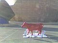
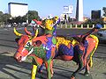
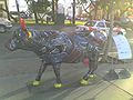
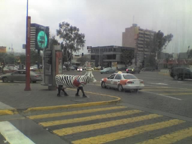
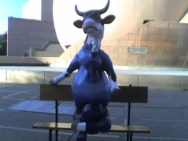
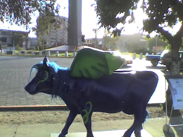
Tijuana CowParade 2008
During June 2008, Tijuana hosts the CowParade. Along with the also popular Revolución Avenue, Paseo de los Héroes holds many of the artistic cows, in such popular places like the Monumento a la Raza and the Tijuana Cultural Center.
-

The Miss Tijuana cow around the Monumento a la Raza
-
-
View of Cacho cow, in front of the Monumento a la Raza
-

View of El chico de la banca cow, at Tijuana Cultural Center
-
Mina y contamina cow
-

View of Sueñame cow, in front of the Monumento a la Raza
-

View of Vacalero cow
Sanchez Taboada Boulevard
In contrast to Paseo de los Heroes or Aguacaliente Boulevard, this is not one of the main avenues of the whole city, but rather only of Zona Río.
This avenue is the main gastronomical corridor of Zona Río, offering the widest variety of gastronomy in the entire city. There are restaurants offering food from Thailand, Mongolia, Greece, Brazil or Israel, not to mention the typical Italian, Spanish, French, Argentinian, Chinese and American foods, plus the widespread Japanese sushi. As regards of Mexican food, the common tacos, Baja California-seafood, and the antojitos (Spanish term for traditional Mexican food), they are found almost everywhere in the avenue.
Aguacaliente Boulevard

This is one of the most important and largest avenues in the city, together with Paseo de los Héroes, with both crossing nearly the entire city. Prior to the opening of Tijuana's new airport at Otay district in 1958, the city's former airport was located along present-day Aguacaliente Blvd.
Also one of the main gastronomical corridors in the city, and a touristic and commercial avenue, Aguacaliente Boulevard may be a combination of both Paseo de los Heroes and Sanchez Taboada Boulevard, but with a characteristic of being the place where sports auditoriums and stadiums are located.
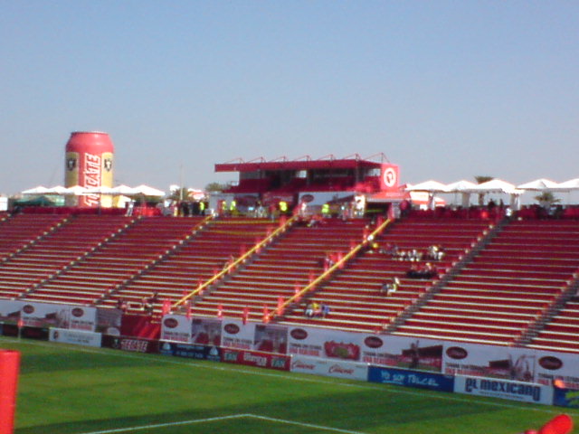
The Aguacaliente Hippodrome and Racetrack is located here. The Municipal Auditorium of Tijuana, home of both of Tijuana's basketball teams, and the Estadio Casas GeoCaliente Stadium, home of the city's newly formed soccer team.
The tallest buildings of Tijuana, Las Torres, are located here, along some other buildings and public hospitals.
Paseo del Centenario Avenue
Paseo del Centenario (Spanish for Centennial Avenue) is also another important avenue within the area. The Municipal Palace of Tijuana is located here, along with the State Government Center of Tijuana.
New City Residential is located here, as well as the Tijuana General Hospital and many other notable buildings.
Notable landmarks and places of interest
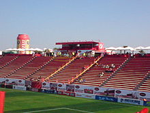 Estadio Caliente
- Municipal Palace of Tijuana
- Tijuana Cultural Center
- Agua Caliente Casino and Hotel National Heritage Site
- Estadio Casas GeoCaliente and Caliente Hippodrome
- Plaza Rio Shopping Mall[1]
Buildings and skyscrapers
 Partial view of Zona Río skyline
- Las Torres
- Green View Tower[2]
- ING Comercial America Building
- Centro Médico Excel[3][4]
- Hospital Angeles Tijuana
- Torre Platino[5][6]
- Centura Tower
- Camino Real Hotel[7]
- New City Residential
- Edificio GILT[8]
- Centro de Control y Mando de Tijuana
- Edificio Ventura[9]
- Torre Bellavista[10]
- Torre MOL[11]
- VIA Corporativo[12][13]
- Hospital General de Tijuana
- Torre Zentrum[14]
- FRISA Building
- Wadiah Building
- Rodeo Building
Gallery
-
Grand Hotel Tijuana at night - The tallest buildings in TJ
-

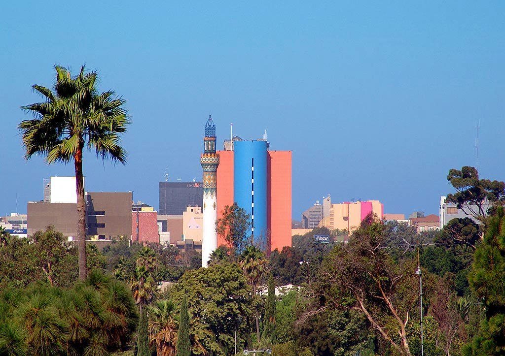
Aguacaliente Minaret and Grand Hotel Tijuana
-

View of the Monumento a la Raza, at Paseo de los Héroes
-

Skyscrapers along Aguacaliente Blvd.
-

Grand Hotel Tijuana and Centura Tower along Aguacaliente Blvd.
-

Grand Hotel Tijuana and Centura Tower along Aguacaliente Blvd., the tallest and 2nd tallest completed skyscrapers in Tijuana
-

Skyscrapers along Aguacaliente Blvd.
-

View of Grand Hotel Tijuana
See also
References
- ^ "Plaza Río Tijuana". http://www.plazariotijuana.com.mx. Retrieved April 24, 2011.
- ^ Green View Tower
- ^ (Spanish) Centro Medico Excel
- ^ Centro Médico Excel on Emporis.
- ^ Torre Platino
- ^ Torre Platino - Plaza Corporativa I
- ^ Camino Real Tijuana
- ^ Edificio GILT on Emporis.
- ^ Edificio Ventura on Emporis.
- ^ Torre Bellavista on Emporis.
- ^ Torre MOL on Emporis.
- ^ (Spanish) VIACorporativo
- ^ VIA Corporativo, El primer edificio sustentable en Tijuana from El Mexicano Online
- ^ (Spanish) Torre Zentrum
External links
San Diego–Tijuana History • Geography • Geology • Populace • Economy • Transportation • Education • Communication • Other Infrastructure • Culture Counties and
Municipalities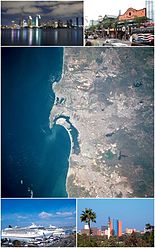
Global cities Large cities
100k - 250kCities and towns
20k - 99kCoronado • El Cajon • El Refugio • Encinitas • Fallbrook • Imperial Beach • La Joya • La Mesa • La Presa • Lemon Grove • National City • Pórticos de San Antonio • Poway • Rancho San Diego • Rosarito Beach • San Marcos • Santee • Spring Valley • Tecate • Terrazas del Valle • VistaCities and towns
10k-19kAlpine • Bonita • Bostonia • Casa de Oro-Mount Helix • Las Delicias • Ramona • Rancho San Diego • San Diego Country Esates • Solana Beach • Villa del Campo • Villa del Prado • Winter GardensBodies of water Agua Hedionda Lagoon • Batiquitos Lagoon • El Capitan Lake • Abelardo L. Rodriguez • Lake Hodges • Lake Sutherland • Lower Otay Reservoir • Loveland Reservoir • Mission Bay • Pacific Ocean • San Elijo Lagoon • San Diego Bay • San Vicente Reservoir • Sweetwater Reservoir • Tijuana River EstuarySub-regions Anza Borrego • Coronado Peninsula • Cuyamaca • East County • Mountain Empire • North County • Palm Valley • Rosarito • San Diego • South Bay • Tecate • TijuanaCategory · Images · Portal Categories:- Neighborhoods in Tijuana
- Central business districts
-


Wikimedia Foundation. 2010.