- Washington State Route 542
-
State Route 542

Route information Auxiliary route of I-5 Defined by RCW 47.17.795 Maintained by WSDOT Length: 57.23 mi[1] (92.10 km) Major junctions West end:  I-5 in Bellingham
 SR 9 through Deming
 SR 547 near Kendall
East end: Mt. Baker Ski Area Highway system State highways in Washington
Interstate • US • State
Former PSH • 1964 renumbering • Former SR←  SR 539
SR 543  →
→State Route 542, also known as SR 542 or the Mount Baker Highway, is a numbered state highway in Washington, United States.
Contents
Route description
Sunset Drive starts at Broadway in the Cornwall Park neighborhood. There, it also crosses Maryland and Summer Streets before its junction with Cornwall Avenue, where it gets its pavement markings. It then goes into an Eastern direction split at the Illinois Street stoplights . It then, after a turn, crosses Ellis Street, where Smokin' Sam's and the St. Joseph Hospital are. It is then mostly straight until it crosses James Street and I-5. (Link to Washington article) It then becomes four lanes and SR 542. It then crosses other roads until its end at the top of Artist Point.
SR 542 travels east from Bellingham to the Mount Baker Ski Area, passing through the towns of Deming, Kendall, Maple Falls, and Glacier.
The eastern end of SR 542 is closed most of the year at 5,100-foot (1,600 m) Artist Point.[2] This section typically opens in July and closes after the first substantial snowfall of the year. It closed on September 29, 2009; October 6, 2008; and September 27, 2007.[3]
-

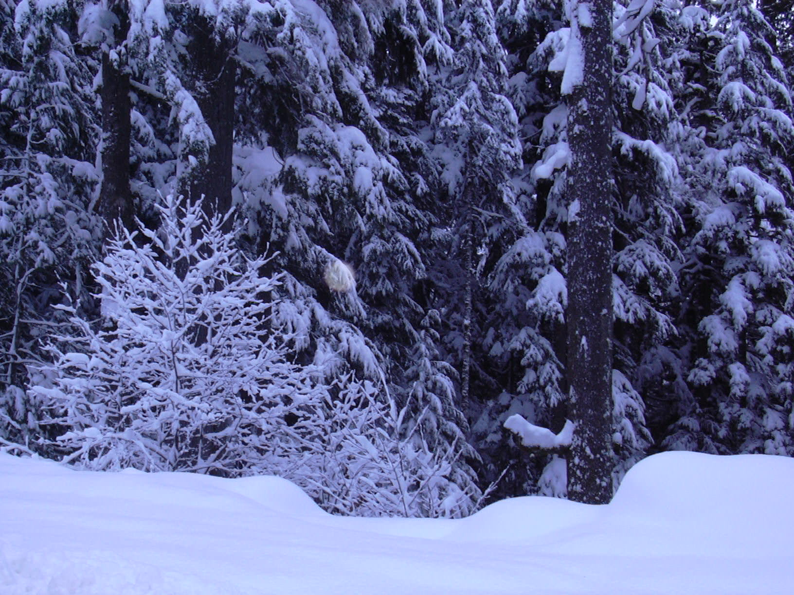
Snow along Mount Baker Highway, January 2005.
-

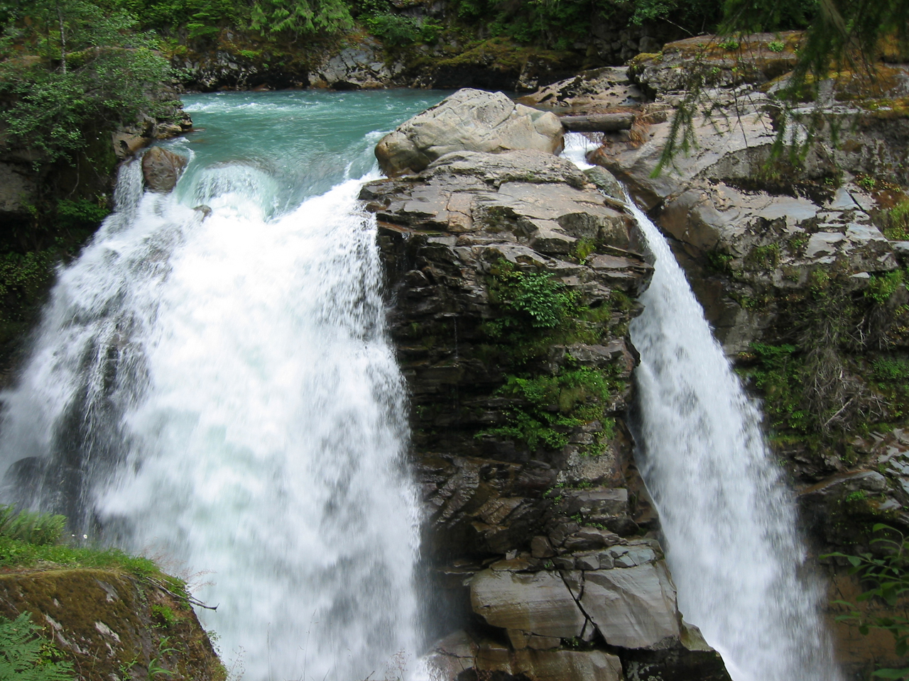
Nooksack Falls, located a 0.67-mile (1.08 km) drive off the Mount Baker Highway, July 2005.
Major intersections
County Location Mile[1] Destinations Notes Whatcom Bellingham 0.00  I-5 – Everett, Seattle, Vancouver BC
Western terminus Deming 9.96 SR 9 north – Sumas, Abbotsford BCBegin concurrency 14.57 SR 9 south – Arlington, Snohomish, MaltbyEnd concurrency Kendall 22.91 SR 547 north – Sumas, Abbotsford BCAustin Pass 57.23 Mount Baker Ski Area Eastern terminus Related routes
State highways in Washington related to I-5  SR 500 - SR 501 - SR 502 - SR 503 (Spur) - SR 504 (Spur) - SR 505 - SR 506 - SR 507 - SR 508 - SR 509 - SR 510 - SR 512 - SR 513 - SR 515 - SR 516 - SR 518 - SR 519 - SR 520 - SR 522 - SR 523 - SR 524 (Spur: Edmonds, Lynnwood) - SR 525 (Spur) - SR 526 - SR 527 - SR 528 - SR 529 (Spur) - SR 530 - SR 531 - SR 532 - SR 534 - SR 536 - SR 538 - SR 539 - SR 542 - SR 543 - SR 544 - SR 546 - SR 547 - SR 548 - SR 599
References
- ^ a b Washington State Department of Transportation. "State Highway Log, 2006". http://www.wsdot.wa.gov/mapsdata/tdo/PDF_and_ZIP_Files/HwyLog2006.pdf. Retrieved 2007-04-22.
- ^ "Washington State Tourism Artist Point". ExperienceWA.com. http://www.experiencewa.com/attraction.aspx?id=41. Retrieved 2009-09-30.
- ^ "Snow closes Artist Point at Mount Baker". KING5.com. 2009-09-29. http://www.king5.com/localnews/stories/NW_092909WAB-snow-closes-artist-point-LJ.1c9d24322.html. Retrieved 2009-09-30.[dead link]
Categories:- State highways in Washington (state)
- Scenic highways in Washington (state)
- Transportation in Whatcom County, Washington
-


Wikimedia Foundation. 2010.