- Bhola District
-
Bhola
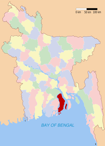
ভোলা— District — Location of Bhola in Bangladesh
Coordinates: 22°41′25″N 90°39′09″E / 22.6903°N 90.6525°ECoordinates: 22°41′25″N 90°39′09″E / 22.6903°N 90.6525°E Country  Bangladesh
Division Barisal Division Area – Total 3,403.48 km2 (1,314.1 sq mi) Population (1991) – Total 1,676,600 – Density 492.6/km2 (1,275.9/sq mi) Literacy rate – Total 29.47% Time zone BST (UTC+6) – Summer (DST) BDST (UTC+7) Website Banglapedia Article Bhola (Bengali: ভোলা) is a district in south-western Bangladesh. It is located in the Barisal Division. It is also the largest offshore island region in Bangladesh, with an area of 3403.48 km². It is bounded by Lakshmipur and Barisal districts to the north, Bay of Bengal to the south, Lakshmipur and Noakhali districts, Meghna (lower) river and Shahbazpur Channel to the east, Patuakhali district and Tentulia river to the west.[1]
Bhola (Town) consists of 9 wards and 17 mahallas. It has an area of 12.16 km2. The town has a population of 39,964; male 52.39%, female 47.61%. The literacy rate among the towns people is 63.9%. Bhola Municipal town was established in 1920. The town has four dakbungalows.[2]
Contents
Subdistricts
Bhola district comprises the following upazilas:
- Bhola Sadar Upazila
- Burhanuddin Upazila
- Char Fasson Upazila
- Daulatkhan Upazila
- Lalmohan Upazila
- Manpura Upazila
- Tazumuddin Upazila
Places of interest
- Bhola Govt. High School
- Bhola Girls High School
- Bhola govt. college
- Bhola Govt. Girls College
- Bhola Shishu Park
- Charfashion College
- Dhaligour Nagar High School
- Bhola Bus Stand
- Bhorhanuddin hallypath
- Monpura (Natural scenary)
- বোরহানুদ্দিন আব্দুল জব্বার কলেজ (Bhurhanuddin Abdul Jabbar College)
- Bhola Town High School
Religion
The district of Bhola consists 3083 mosques, 15 temples and a Buddhist temple.
See also
External links
Notes
- ^ http://banglapedia.search.com.bd/HT/B_0489.htm Bhola district in Banglapedia, Retrieved on 07-08-2008.
- ^ http://www.amardesh.com/zilla_bhola.php, Retrieved on 24-02-2011.
 Divisions and districts of Bangladesh
Barisal Division 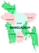
Chittagong Division Bandarban · Brahmanbaria · Chandpur · Chittagong · Comilla · Cox's Bazar · Feni · Khagrachari · Lakshmipur · Noakhali · RangamatiDhaka Division Dhaka · Faridpur · Gazipur · Gopalganj · Jamalpur · Kishoreganj · Madaripur · Manikgonj · Munshiganj · Mymensingh · Narayanganj · Narsingdi · Netrokona · Rajbari · Shariatpur · Sherpur · TangailKhulna Division Rajshahi Division Rangpur Division Sylhet Division Categories:- Bhola District
- Districts of Bangladesh
- Bangladesh geography stubs

Wikimedia Foundation. 2010.