- Clayville Historic District
-
Clayville Historic District
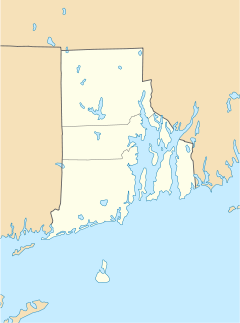

Location: Roughly bounded by Cole Ave., Plainfield Pike, Field Hill Rd., and Victory Hwy., Foster and Scituate, Rhode Island Coordinates: 41°46′37″N 71°40′35″W / 41.77694°N 71.67639°WCoordinates: 41°46′37″N 71°40′35″W / 41.77694°N 71.67639°W Area: 81 acres (33 ha) Architectural style: Greek Revival, Late Victorian Governing body: Local MPS: Foster MPS NRHP Reference#: 88003079[1] Added to NRHP: December 29, 1988 Clayville Historic District is a 81-acre (33 ha) historic district in Foster and Scituate, Rhode Island. It is bounded by Cole Avenue, Plainfield Pike, Field Hill Road, and Victory Highway.
The historic district contains various Greek Revival and late Victorian architecture. Various historic agricultural buildings, industrial buildings and stores have survived in the area. The district was added to the National Register of Historic Places in 1988.[1]
References
- ^ a b "National Register Information System". National Register of Historic Places. National Park Service. 2009-03-13. http://nrhp.focus.nps.gov/natreg/docs/All_Data.html.
U.S. National Register of Historic Places Topics Lists by states Alabama • Alaska • Arizona • Arkansas • California • Colorado • Connecticut • Delaware • Florida • Georgia • Hawaii • Idaho • Illinois • Indiana • Iowa • Kansas • Kentucky • Louisiana • Maine • Maryland • Massachusetts • Michigan • Minnesota • Mississippi • Missouri • Montana • Nebraska • Nevada • New Hampshire • New Jersey • New Mexico • New York • North Carolina • North Dakota • Ohio • Oklahoma • Oregon • Pennsylvania • Rhode Island • South Carolina • South Dakota • Tennessee • Texas • Utah • Vermont • Virginia • Washington • West Virginia • Wisconsin • WyomingLists by territories Lists by associated states Other Categories:- Historic districts in Rhode Island
- Historic districts in Providence County, Rhode Island
- Scituate, Rhode Island
- Rhode Island Registered Historic Place stubs

Wikimedia Foundation. 2010.