- North Black Rock Range Wilderness
-
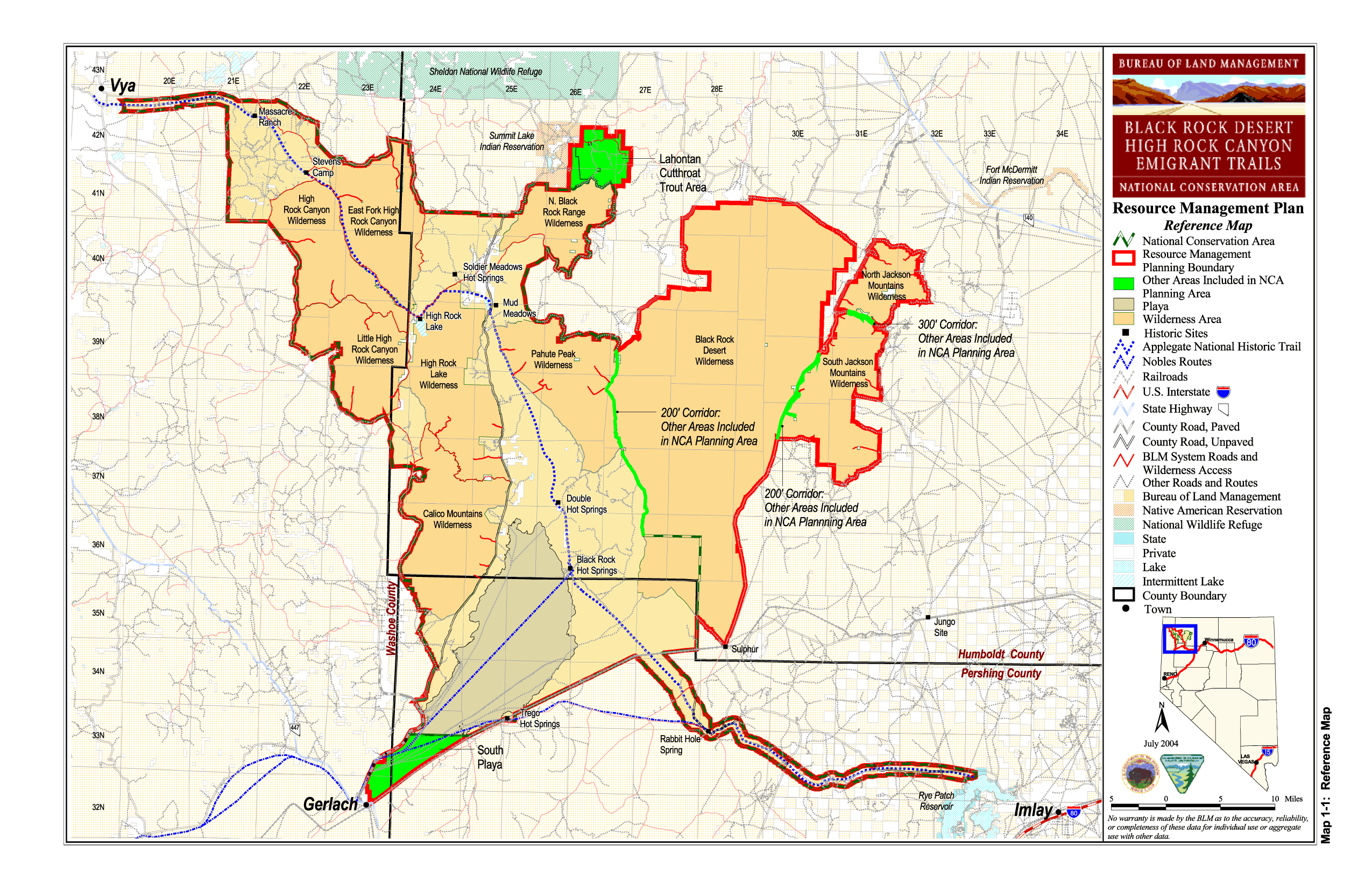
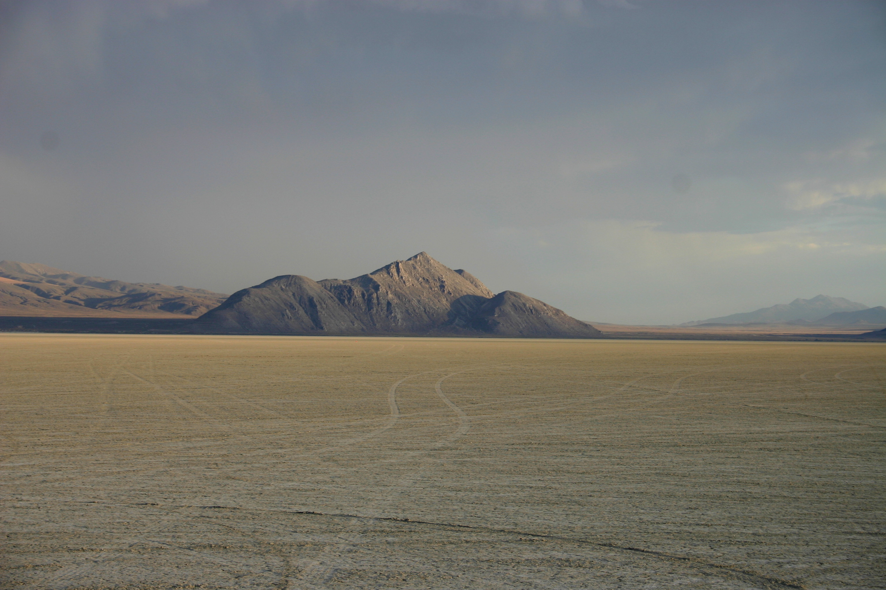
North Black Rock Range Wilderness 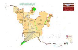 BLM map of the Black Rock-High Rock NCA and 10 wilderness areas including North Black Rock Range Wilderness
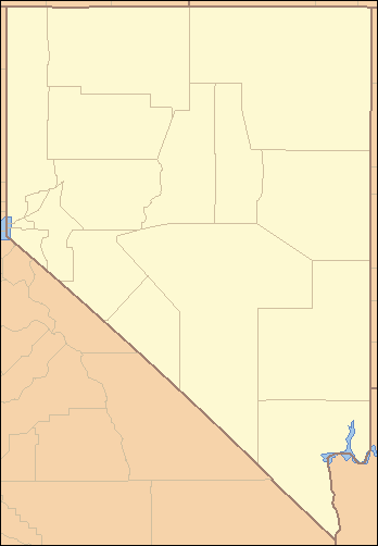
Country United States State Nevada Region Black Rock Desert Location Humboldt County - elevation 1,918 m (6,293 ft) - coordinates 41°26′15.634″N 119°2′20.665″W / 41.43767611°N 119.03907361°W Founded 2000 Date December 21 Management Bureau of Land Management For public Open to the public. BLM wilderness rules apply - mechanized travel prohibited. Timezone Pacific (UTC-8) - summer (DST) PDT (UTC-7) Topo map USGS Red Mountain The North Black Rock Range Wilderness is a U S Wilderness Area in Nevada under the Bureau of Land Management. It is located northeast of Soldier Meadows and south of the Summit Lake Indian Reservation.[1][2]
See also
References
- ^ a b "North Black Rock Range Wilderness". Geographic Names Information System, U.S. Geological Survey. http://geonames.usgs.gov/pls/gnispublic/f?p=gnispq:3:::NO::P3_FID:2035228. Retrieved 2009-05-04.
- ^ "BLM Black Rock Desert-High Rock Canyon Emigrant Trails National Conservation Area". Bureau of Land Management. http://www.nv.blm.gov/Winnemucca/blackrock/BRHR_background.htm. Retrieved 2007-12-30.
External links
Black Rock Desert Region Geography Antelope Range · Badger Mtns · Black Rock Range · Calico Mtns · Division Range · Fox Range · Gerlach and Empire · Granite Range · Hannan Range · High Rock Canyon Hills · Hog Ranch Mtns · Jackson Mtns · Kamma Mtns · Kings River · Lake Lahontan · Little High Rock Mtns · Massacre Range · Montana Mtns · Pine Forest Range · Poker Brown Mtns · Quinn River · Santa Rosa Range · Selenite Range · Sentinel Hills · Seven Troughs Range · Sheephead Mtns · Smoke Creek Desert · Smoke Creek Mtns · Yellow Hills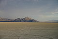
History/Records Protected areas Black Rock – High Rock NCA · Black Rock Desert Wilderness · Calico Mountains Wilderness · East Fork High Rock Canyon Wilderness · High Rock Canyon Wilderness · High Rock Lake Wilderness · Little High Rock Canyon Wilderness · North Black Rock Range Wilderness · North Jackson Mountains Wilderness · Pahute Peak Wilderness · South Jackson Mountains WildernessTransportation Uses/Activities Categories:- Wilderness Areas of Nevada
- Protected areas of Humboldt County, Nevada
- IUCN Category Ib
- Bureau of Land Management areas in Nevada
Wikimedia Foundation. 2010.