- Dangberg Home Ranch Historic Park
-
Dangberg Home Ranch Historic Park Nevada State Park Country  United States
State  Nevada
County Douglas Location Minden - elevation 4,705 ft (1,434 m) [1] - coordinates 38°56′55″N 119°47′22″W / 38.94861°N 119.78944°W Area 5 acres (2 ha) 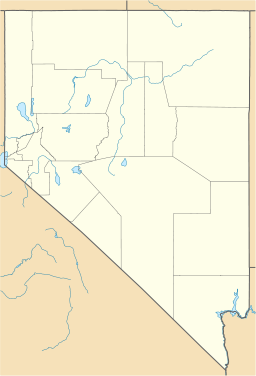
 Location of Dangberg Home Ranch Historic Park in Nevada
The Dangberg Home Ranch Historic Park is a state park unit of Nevada, USA, preserving one of the state's first ranches.[2]
Contents
History
The Dangberg Ranch was founded in 1857 by Heinrich Friedrich Dangberg, Sr. Starting with just a log cabin it became one of Carson Valley's first ranches. Forty years later the ranch had grown to 20,000 acres (8,100 ha) making it one of the largest ranches in the region, which in turn was doubled in size by Heinrich Friedrich Dangberg, Jr.[3]
Park
Some 5 acres (2.0 ha) of the land is under the ownership of Douglas County and managed by the state park service. The county and state are in a joint effort to restore the historic buildings including the 15-room main residence.[2] The park's buildings feature historic period artifacts.
The ranch is located on Nevada State Route 88 west of Minden. Tours are available from spring to fall.
References
- ^ "Dangberg Home Ranch". Geographic Names Information System. United States Geological Survey. 1991-01-01. http://geonames.usgs.gov/pls/gnispublic/f?p=gnispq:3:::NO::P3_FID:847778. Retrieved 2011-04-15.
- ^ a b "Dangberg Home Ranch Historic Park". TravelNevada.com. Nevada Commission on Tourism. http://parks.travelnevada.com/destination/dangberg-home-ranch-historic-park.aspx.
- ^ Nevada Division of State Parks. "Dangberg Home Ranch Historic Park". http://parks.nv.gov/hr.htm.
External links
Categories:- History of Douglas County, Nevada
- Museums in Douglas County, Nevada
- Nevada state parks
- Ranches in Nevada

Wikimedia Foundation. 2010.