- Nevada State Route 34
-
State Route 34
Route information Existed: ? – 1978 Major junctions South end:  CR 447 in Gerlach
Former  SR 8A
SR 8ANorth end: Coleman Valley Rd Highway system  The junction of Nevada 447 and CR 34. Notice that the shield for CR 34 is a circle, this is to indicate that CR 34 is not a state route.
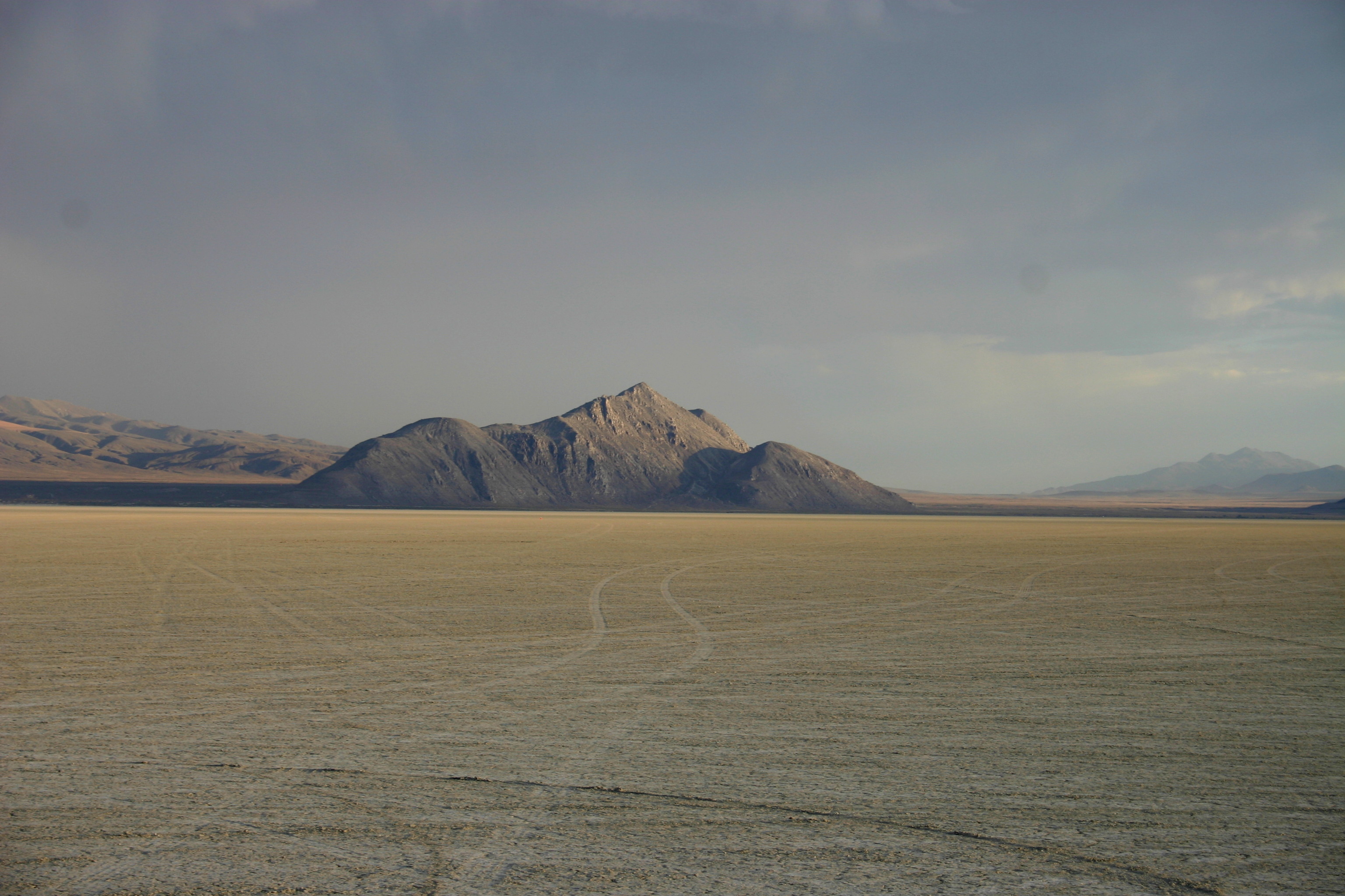
Former SR 34[1] is a signed decommissioned State highway in Nevada from prior to the state's highway restructuring in 1978. Today a portion of former SR 34 is maintained by the Washoe County as a county highway with the not well known designation CR 34. [2] A portion of State Route 447 was formerly SR 34[3], though the former SR 34 road bed is still used from Gerlach, Nevada to near Vya, Nevada[4].
 Unsigned CR 34, is one of the few known county routes in Nevada, known only by this mile marker about 5 miles north of Gerlach.
History
Before 1978 SR 34 followed present day SR 447 route, from Gerlach to Wadsworth, Nevada.[5]
Major intersections
Location Junction Notes Gerlach CR 447To  SR 447
CR 34 ends / Former SR 34 roadbed counties Vya SR 8A eastSouth end of SR 8A overlap SR 8A westNorth end of SR 8A overlap Oregon State line Coleman Valley Rd To  OR 140 – Adel, Lakeview, Denio
References
- ^ "Official road map of the state of Nevada (1941)". http://contentdm.library.unr.edu/cdm4/document.php?CISOROOT=/hmaps&CISOPTR=577&REC=16. Retrieved 2007-12-30.
- ^ "Department of Public Works Budget Presentation FY 2008‐2009 - page 14". http://www.co.washoe.nv.us/repository/files/33/08presentation_public_works.pdf. Retrieved 2009-08-29.
- ^ "Nevada's State Maintained Highways, Descriptions, Index and Maps" (PDF). http://www.nevadadot.com/reports_pubs/state_maintained/pdf/sm_book.pdf. Retrieved 2007-12-30. p120
- ^ "Nevada Log: Routes 0 through 99". http://www.rockymountainroads.com/nv-000.html. Retrieved 2007-12-30.
- ^ Nevada Department of Highways, Official Highway Map of Nevada, 1978-79
Black Rock Desert Region Geography Antelope Range · Badger Mtns · Black Rock Range · Calico Mtns · Division Range · Fox Range · Gerlach and Empire · Granite Range · Hannan Range · High Rock Canyon Hills · Hog Ranch Mtns · Jackson Mtns · Kamma Mtns · Kings River · Lake Lahontan · Little High Rock Mtns · Massacre Range · Montana Mtns · Pine Forest Range · Poker Brown Mtns · Quinn River · Santa Rosa Range · Selenite Range · Sentinel Hills · Seven Troughs Range · Sheephead Mtns · Smoke Creek Desert · Smoke Creek Mtns · Yellow Hills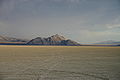
History/Records Protected areas Black Rock – High Rock NCA · Black Rock Desert Wilderness · Calico Mountains Wilderness · East Fork High Rock Canyon Wilderness · High Rock Canyon Wilderness · High Rock Lake Wilderness · Little High Rock Canyon Wilderness · North Black Rock Range Wilderness · North Jackson Mountains Wilderness · Pahute Peak Wilderness · South Jackson Mountains WildernessTransportation Uses/Activities Categories:- Former state highways in Nevada
- Transportation in Washoe County, Nevada


Wikimedia Foundation. 2010.