- Interstate 290 (Massachusetts)
-
Interstate 290

Route information Maintained by Masshighways Length: 20.16 mi[1] (32.44 km) Existed: 1970 – present Major junctions West end:  Mass Pike
 I-90/Mass Pike/I-395/Route 12 in Auburn
 Route 146 in Worcester
 I-190 in Worcester
East end: 


 I-495/Route 85 Connector in Marlborough
Highway system Auxiliary route of the Interstate Highway System
Main • Auxiliary • BusinessMassachusetts State Highway Routes
←  Route 286
I-291  →
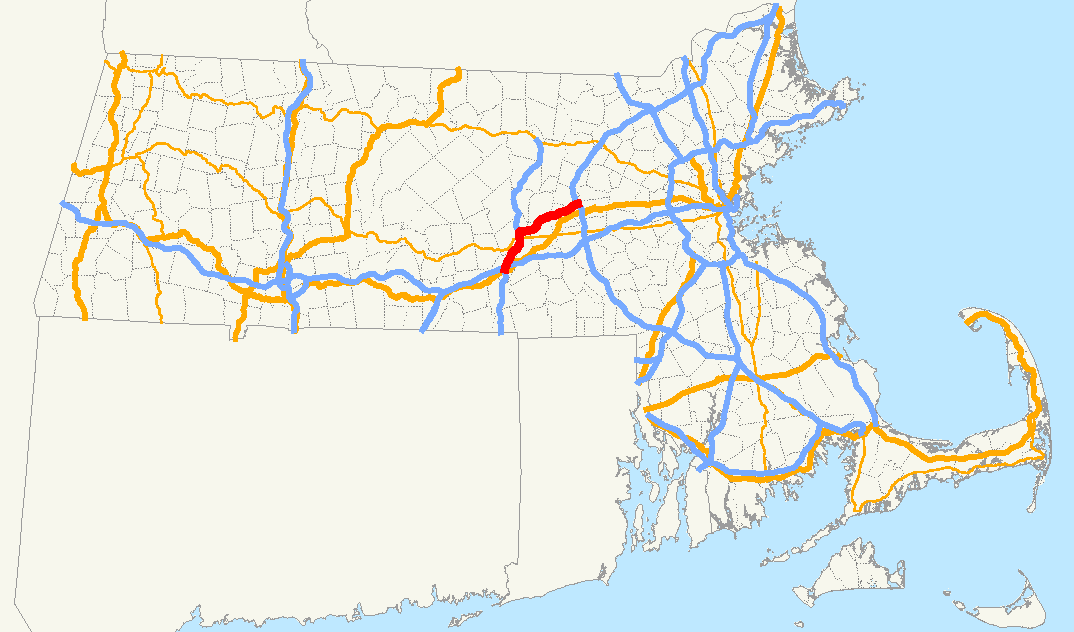
→Interstate 290 (abbreviated I-290) runs for 20.16 miles (32.44 km) from Auburn, Massachusetts to Marlborough, Massachusetts. It is a continuation of I-395 north of I-90 (the Mass Pike) and runs through downtown Worcester, Massachusetts, I-190 splits off, and I-290 runs across Lake Quinsigamond and east to I-495 in Marlborough. There are buildings very close to the highway, including a grand church which faces the road (referred to locally as "Our Lady of the Highway"). Massachusetts has built a freeway connector (Route 146) from I-290 in Worcester to the Mass Pike and then south to Providence, Rhode Island.
Contents
History
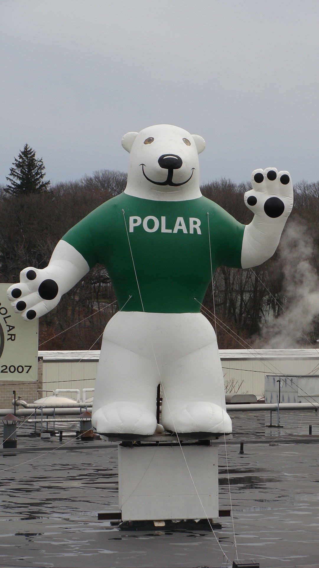
 Orson the bear, the mascot of Polar Beverages, is a prominent landmark visible from I-290 in Worcester.
Originally, I-290 was to rejoin I-90 in Westboro, roughly where I-495 sits now. However, this route would have run through the town centers of Shrewsbury and Northborough. Additionally, I-290 was intended to be extended past I-495 to I-95/Route 128 in Waltham, but this was canceled under pressure from towns along the planned route. A brief two-lane connector heads to Route 85 as a result of this aborted plan. The interchange with I-495 was originally supposed to be a cloverleaf, but after the plan was canceled, it was modified with a flyover ramp onto 495-northbound.
Exit list
Location Exit # Mile[2] Destinations Notes Auburn 7 0 Mass Pike I-90 / I-395 / Route 12No exit to Route 12 SB 8 0.1 Route 12 – Auburn, WebsterWestbound exit only 9 1.4 Swanson Road (EB), Auburn Street (WB) – Auburn Worcester 10 3.2 Route 12 north (Hope Avenue)Westbound exit / Eastbound entrance only 11 3.8 College Square, Federal Square, Southbridge Street 12 4.7 Route 146 south – Brosnihan Square, MillburyWestbound exit / Eastbound entrance only. 13 5.3  Route 122A (Vernon Street) – Kelley Square
14 5.6  Route 122 – Barre, Uxbridge
No westbound entrance. 15 5.9 Shrewsbury Street Eastbound exit / Westbound entrance only. 16 6.1 MLK Jr. Boulevard – Downtown Worcester Amtrak/Commuter Rail station 17 6.6  Route 9 – Ware, Framingham
Worcester Regional Airport. Eastbound exit / Westbound entrance only. 18 6.8  Route 70 To Route 9 – Ware, Framingham
Worcester Regional Airport. Westbound exit / Eastbound entrance only. 19 7.7 I-190 – Holden, FitchburgEastbound exit is combined with exit 20 20 8.4 Route 70 (Lincoln Street), Burncoat StreetEastbound exit is combined with exit 19 21 9.6 Plantation Street – Worcester Eastbound exit / Westbound entrance only. Shrewsbury 22 10.2 Main Street – Shrewsbury, Worcester 23A-B 12.7  Route 140 – Shrewsbury, Boylston
Northborough 24 14.9 Church Street – Northboro, Boylston 25A-B 17.9 Hudson Street/Solomon Pond Mall Road – Northboro, Berlin Marlborough 26A-B 20.0 I-495 – Cape Cod, Lowell
Route 85 Connector – To Route 85 – HudsonReferences
- ^ Route Log- Auxiliary Routes of the Eisenhower National System of Interstate and Defense Highways - Table 2
- ^ Massachusetts Executive Office of Transportation. 2007. "Interchanges Listing (I-290)." Downloaded from http://www.eot.state.ma.us/default.asp?pgid=planning/disc/interchanges&sid=dtable , August 7, 2011.
External links
Auxiliary routes of Interstate 90 
Interstate Highways in Massachusetts Categories:- Three-digit Interstate Highways
- Interstate Highways in Massachusetts
- Transportation in Worcester County, Massachusetts
- Transportation in Middlesex County, Massachusetts
- Interstate 90
- Transportation in Worcester, Massachusetts

Wikimedia Foundation. 2010.