- Interstate 990
Infobox road
state=NY
route=990
type=I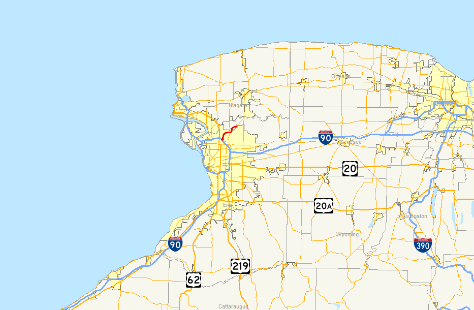
maint=NYSDOT
alternate_name=Lockport Expressway
length_mi=6.35
length_round=2
length_ref= [ [http://www.fhwa.dot.gov/reports/routefinder/table2.htm Route Log - Auxiliary Routes of the Eisenhower National System Of Interstate and Defense Highways - Table 2] ]
year_established=Mid-1980s [http://www.gribblenation.net/nyroutes/ind/800_999.htm#990i New York Routes - Interstate 990] ]
direction_a=South
terminus_a=Jct|state=NY|I|290 in Amherst
direction_b=North
terminus_b=jct|state=NY|NY|263 in Amherst
previous_type=NY
previous_route=962J
next_type=NY
next_route=990LInterstate 990 (abbreviated I-990) is a short
Interstate Highway located entirely in the town ofAmherst, New York . I-990 runs in a roughly north-south direction for 6.35mile s through the southwest and central part of Amherst, northeast of Buffalo. The northern terminus of I-990 is atNew York State Route 263 (Millersport Highway) south of Lockport, while the southern terminus is at Interstate 290. I-990 serves as a connection between the greaterBuffalo, New York area, the University at Buffalo and the central and northeastern portions of the town of Amherst. It is sometimes called the Lockport Expressway although plans to connect the highway with the city of Lockport have been on hold due to lack of funding.Like
Interstate 590 in nearby Rochester, I-990 does not physically meet its parent interstate of I-90. I-990 is the highest numbered Interstate in actual use.Route description
At exit 5, the freeway terminates at
New York State Route 263 (Millersport Highway) but aerial photos make it look like it may have been designed to go further. The northbound side has a slight stub after the ramp for NY 263.The route of I-990 is defined as Interstate Route Connection 591 in New York Highway Law § 340-a.
Exit list
The whole route is in Erie, Amherst
References
Wikimedia Foundation. 2010.