- Massachusetts Route 122A
-
Route 122A
Route information Length: 26.85 mi[1] (43.21 km) Major junctions South end:  Route 122 in Grafton
 Route 146 in Millbury
 I-90 in Millbury
 US 20 in Millbury
 I-290 in Worcester
Route 122 in Worcester
 Route 9 in Worcester
 Route 12 in Worcester
 Route 31 in Holden
 Route 68 in Holden
North end: Route 122 in RutlandHighway system Massachusetts State Highway Routes
← Route 122Route 123  →
→Route 122A is a southeast-northwest state highway in Massachusetts. It is an alternate route of Massachusetts Route 122, with a mile-long concurrency with its parent route in downtown Worcester.
Route description
Route 122A begins in the Farnumsville section of Grafton at its parent route. Route 122A heads westward, crossing the Blackstone River and following it through the northwest corner of Sutton and into Millbury. In Millbury, Route 146 crosses the river again, passing through the center of town before meeting Route 146, near the Shoppes at Blackstone Valley shopping center. The two routes travel northward, with a combined exit to U.S. Route 20 and the Massachusetts Turnpike (I-90) shortly after the merge, and just before the two routes enter Worcester.
In Worcester, Route 122A leaves Route 146 at Providence Street, following it and Winthrop Street until crossing I-290 at Exit 13. Just after this, Route 122A meets Route 122 at Kelly Square, running concurrently with its parent route westward until the two meet Route 9 and Route 12. Route 122A then turns northward concurrently with the two routes, with Route 9 leaving the concurrency a few blocks north, before Route 122A splits from Route 12, turning northwestward and following the shores of Indian Lake near Assumption College. Route 122A then enters the town of Holden.
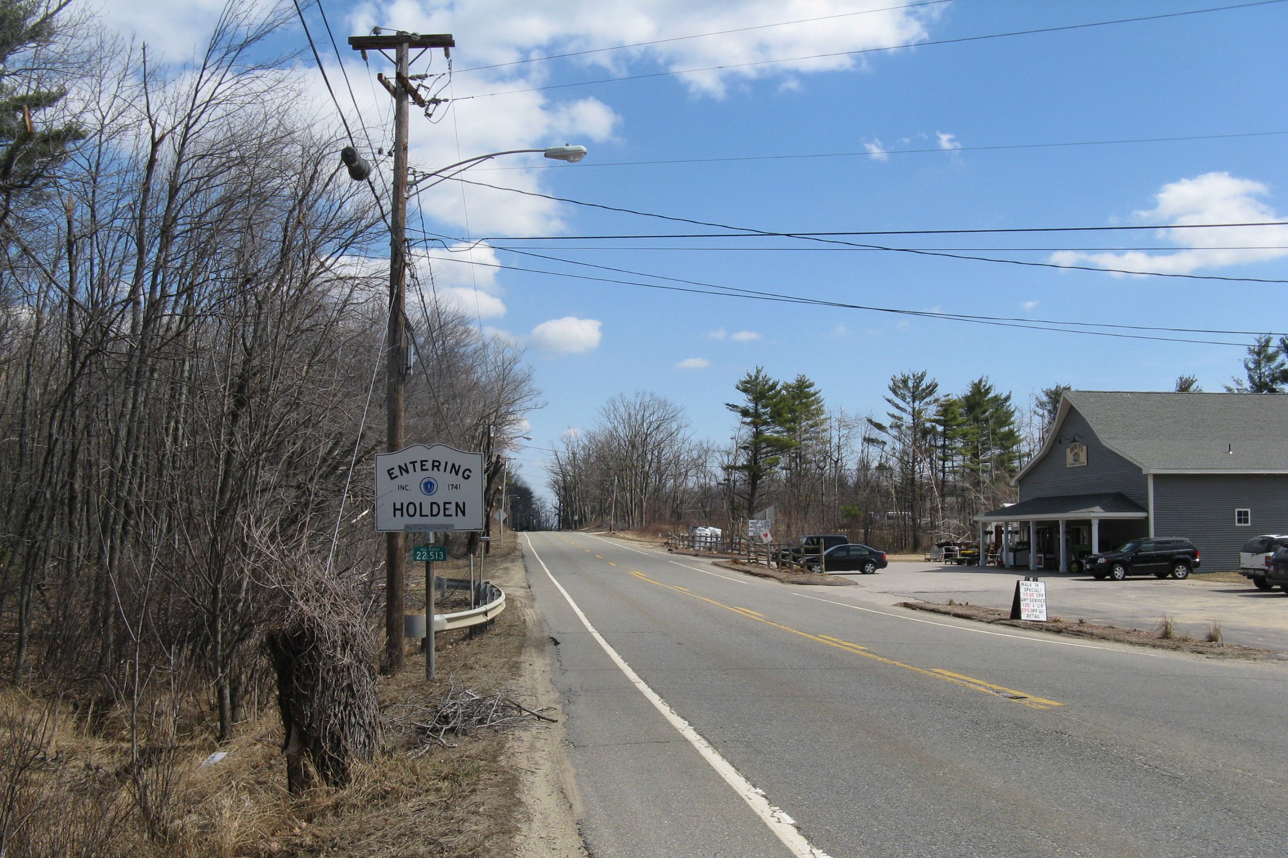
Route 122A passes through Chaffinville and past Chaffin Pond before intersecting Route 31 at Holden Center. It continues northward, passing Eagle Lake and Stump Pond before meeting the southern end of Route 68. Route 122A bends westward into the town of Rutland, where it shares a short concurrency with Route 56 before finally ending at its parent route once more, in Rutland State Park.
Junction list
 Eastbound entering Holden
County Location Mile Roads intersected Notes Worcester Grafton 0.00 Route 122Southern end of Route 122A. Millbury 5.8 Route 146 SouthSouthern end of concurrency with Route 146. 6.5  I-90
I-90
 U.S. Route 20
Exit ramp to access road to both routes. Worcester 8.0 Route 146 NorthNorthern end of concurrency with Route 146. 9.7 I-290I-290 Exit 13 9.8 Route 122 SouthEastern end of concurrency with Route 122. 11.1 Route 122 North
Route 9 West / Route 12 SouthWestern end of concurrency with Route 122.
Southern end of concurrency with Routes 9 & 12.11.8 Route 9 EastNorthern end of concurrency with Route 9.
Routes 122A & 12 continue north.13.4 Route 12 NorthNorthern end of concurrency with Route 12. Holden 19.0 Route 3121.0 Route 68 NorthSouthern end of Route 68. Rutland 24.4  Route 56 South
Eastern end of concurrency with Route 56. 24.5 Route 56 NorthWestern end of concurrency with Route 56. 26.85 Route 122Northern end of Route 122A. References
Categories:- Numbered routes in Massachusetts

Wikimedia Foundation. 2010.