- Massachusetts Route 56
-
Route 56
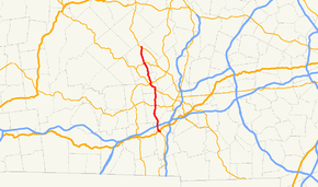
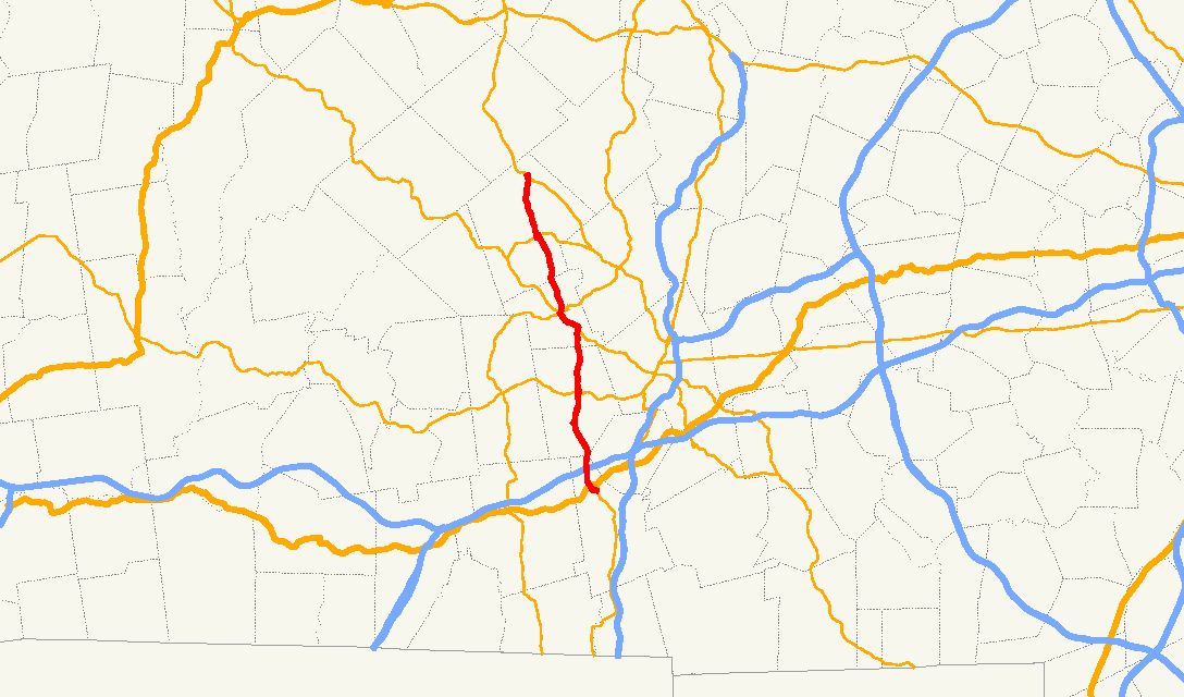
Route information Length: 20.1 mi (32.3 km) Major junctions South end:  Route 12 in Oxford
 Route 20 in Oxford
 Route 9 in Leicester

 Routes 31 and 122 in Paxton
 Route 122A in Rutland
North end:  Route 68 in Rutland
Highway system Massachusetts State Highway Routes
←  Route 53
Route 57  →
→Route 56 is a north–south state highway running 20.1 miles (32.3 km) through central Worcester County, Massachusetts.
Route description
Route 56 begins at Route 12 in North Oxford. It crosses the French River before meeting U.S. Route 20. It continues north, passing under I-90 (the Mass Pike) without access between the two. (The nearest access to the Pike is in Auburn.) Route 56 then crosses the French River again before entering the town of Leicester. It follows the Huntoon Memorial Highway until turning right onto Pleasant Street, following that street into the center of town, intersecting Route 9 just before turning north, passing Becker College in the process.
Route 56 continues northward, passing several of the Kettle Brook Reservoirs as it enters Paxton. In Paxton, Route 56 begins a 1.3 miles (2.1 km) concurrency with Route 122 which takes it into the center of Paxton. At the intersection of Route 122 and Route 31, Route 56 joins Route 31 northbound for less than a tenth of a mile before the two split, with Route 56 heading northward. The route then enters the town of Rutland, passing northward towards that town's center. The route has a 0.1 miles (0.16 km) concurrency with Route 122A through the town center before turning northward again, ending at Route 68 near the Hubbardston town line.
Junction list
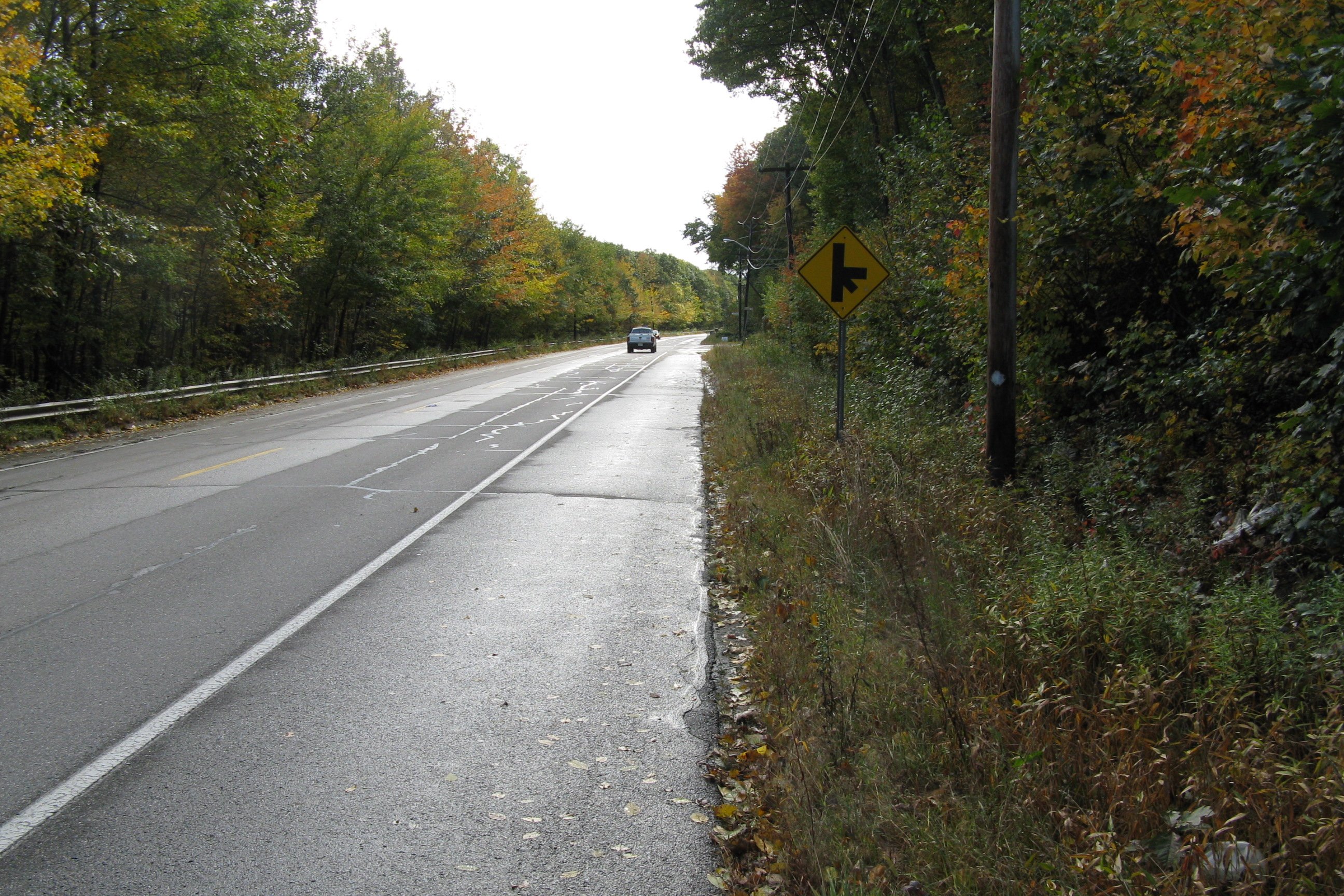
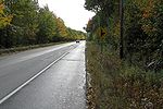 Southbound in Oxford
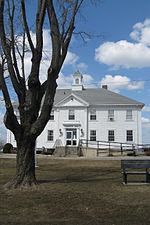 Rutland Community Hall, located along Route 56
County Location Mile Roads intersected Notes Worcester Oxford 0.0 Route 12Southern end of Route 56. 0.5 U.S. Route 201.5  I-90/Mass Pike
No access from Route 56 to I-90. Leicester 6.3 Route 9Paxton 10.2  Route 122 South
Begin concurrency with Route 122. 11.5 Route 122 North
Route 31 SouthEnd concurrency with Route 122.
Begin concurrency with Route 31.11.6 Route 31 NorthEnd concurrency with Route 31. Rutland 16.4 Route 122A SouthBegin concurrency with Route 122A. 16.5 Route 122A NorthEnd concurrency with Route 122A. 20.1 Route 68Northern end of Route 56. Categories:- Numbered routes in Massachusetts


Wikimedia Foundation. 2010.