- Goresbridge
-
Gore
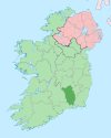
An Droichead Nua— Town — Location in Ireland
 Gore
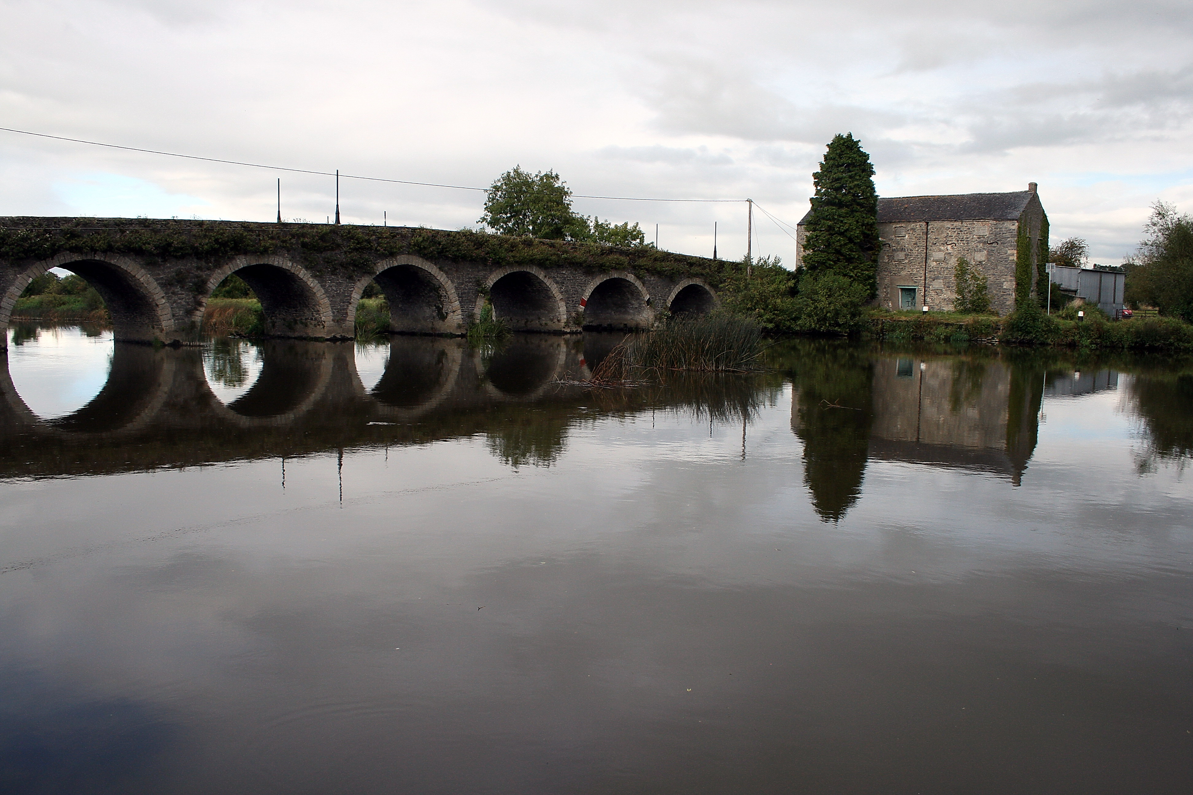
GoreCoordinates: 52°38′00″N 7°04′00″W / 52.633333°N 7.066667°WCoordinates: 52°38′00″N 7°04′00″W / 52.633333°N 7.066667°W Country Ireland Province Leinster County County Kilkenny Time zone WET (UTC+0) - Summer (DST) IST (WEST) (UTC-1) Irish Grid Reference Website kilkennycoco.ie  Goresbridge over the River Barrow
Goresbridge (Irish: An Droichead Nua, meaning "The New Bridge") is a village on the R702 regional road in east County Kilkenny, Ireland, on the River Barrow.
Contents
History
Goresbridge is named for the New Bridge built in 1756 by Colonel Ralph Gore (died 1802) the first and last Earl of Ross. The bridge remains of significant importance in the area for its associations with the Battle of Goresbridge in June 1798.[1] On the 1846 OSI map of Ireland Goresbridge is labelled as Newbridge 's Bridge to what it is today.
Gore's Bridge
For details of the Bridge see the NIAH's appraisal of Gore's Bridge
Transport
Goresbridge railway station opened on 26 October 1870, closed for passenger traffic on 26 January 1931 and for goods traffic on 27 January 1947, finally closing altogether on 1 April 1963.[2]
References
- ^ "Appraisal". NIAH. http://www.buildingsofireland.ie/niah/search.jsp?type=record&county=KK®no=12311002.
- ^ "Goresbridge station". Railscot - Irish Railways. http://www.railscot.co.uk/Ireland/Irish_railways.pdf. Retrieved 2007-10-15.
See also
- List of towns and villages in Ireland
- Nearby house of Mount Loftus
- Townland of Jeanville
Places in County Kilkenny County town: Kilkenny Towns Ballyragget · Callan · Castlecomer · Graiguenamanagh · Kilkenny · Mooncoin · Thomastown
Villages Aughamucky · Ballyhale · Bennettsbridge · Carigeen · Castlewarren · Freshford · Galmoy · Goresbridge · Gowran · Hugginstown · Inistioge · Jenkinstown · Johnstown · Johnswell · Kells · Killamery · Killinaspick · Kilmacow · Kilmoganny · Knocktopher · Mullinavat · Paulstown · Piltown · Redhouse · The Rower · Slieverue · Stoneyford · Tullaroan · Urlingford · Windgap
Townlands Ballyda · Cantwell's Court · Flagmount · Hoodsgrove · Jeanville · Loughcullen
List of townlands in County Kilkenny · Category:Mountains and hills of County Kilkenny · Category:Rivers of County Kilkenny · Category:Geography of County Kilkenny Categories:- Towns and villages in County Kilkenny
- Census towns in County Kilkenny


Wikimedia Foundation. 2010.