Lough Graney — Geographische Lage County Clare, Republik Irland … Deutsch Wikipedia
County Kilkenny — For other uses, see Kilkenny (disambiguation). County Kilkenny Contae Chill Chainnigh Coat of a … Wikipedia
Feakle — (irisch: An Fhiacail; dt.: „Der Zahn“) ist ein kleiner Ort in der Grafschaft Clare im südlichen Westen Irlands. Der Ort hatte im Jahre 2006 122 Einwohner.[1] Ortsbild … Deutsch Wikipedia
Kilkenny — For other uses, see Kilkenny (disambiguation). Kilkenny Cill Chainnigh City … Wikipedia
Mooncoin — Móin Choinn Town Church at Mooncoin … Wikipedia
Mullinavat — Muileann an Bhata Town … Wikipedia
Roman Catholic Diocese of Killaloe — Diocese of Killaloe Dioecesis Laoniensis The Cathedral of St. Peter and St. Paul rises above O Connell Street, Ennis Location … Wikipedia
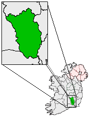
Castlewarren — Infobox Irish Place name = Castlewarren gaeilge = Caisleán an Bhairínigh crest motto = map pin coords = left: 60px; top: 49px north coord = 52.42 | west coord = 7.06 | irish grid = area = | elevation = 200 m province = Leinster county = County… … Wikipedia
Goresbridge — Gore An Droichead Nua Town … Wikipedia
Clara, County Kilkenny — Clara An Clárach Town … Wikipedia