- Roi-Namur
-
Roi–Namur Battlefield

Location: Kwajalein Missile Range, Kwajalein Atoll Coordinates: 9°23′46″N 167°28′33″E / 9.39611°N 167.47583°ECoordinates: 9°23′46″N 167°28′33″E / 9.39611°N 167.47583°E Built: 1944 Governing body: State NRHP Reference#: 85001758 Significant dates Added to NRHP: February 4, 1985[1] Designated NHLD: February 4, 1985[2] Roi-Namur /ˌrɔɪnəˈmʊər/ is an island in the northern part of the Kwajalein atoll in the Marshall Islands.
Occupied by Japanese forces prior to World War II, it was the target of the U.S. 4th Marine Division in the Battle of Kwajalein, in February 1944.
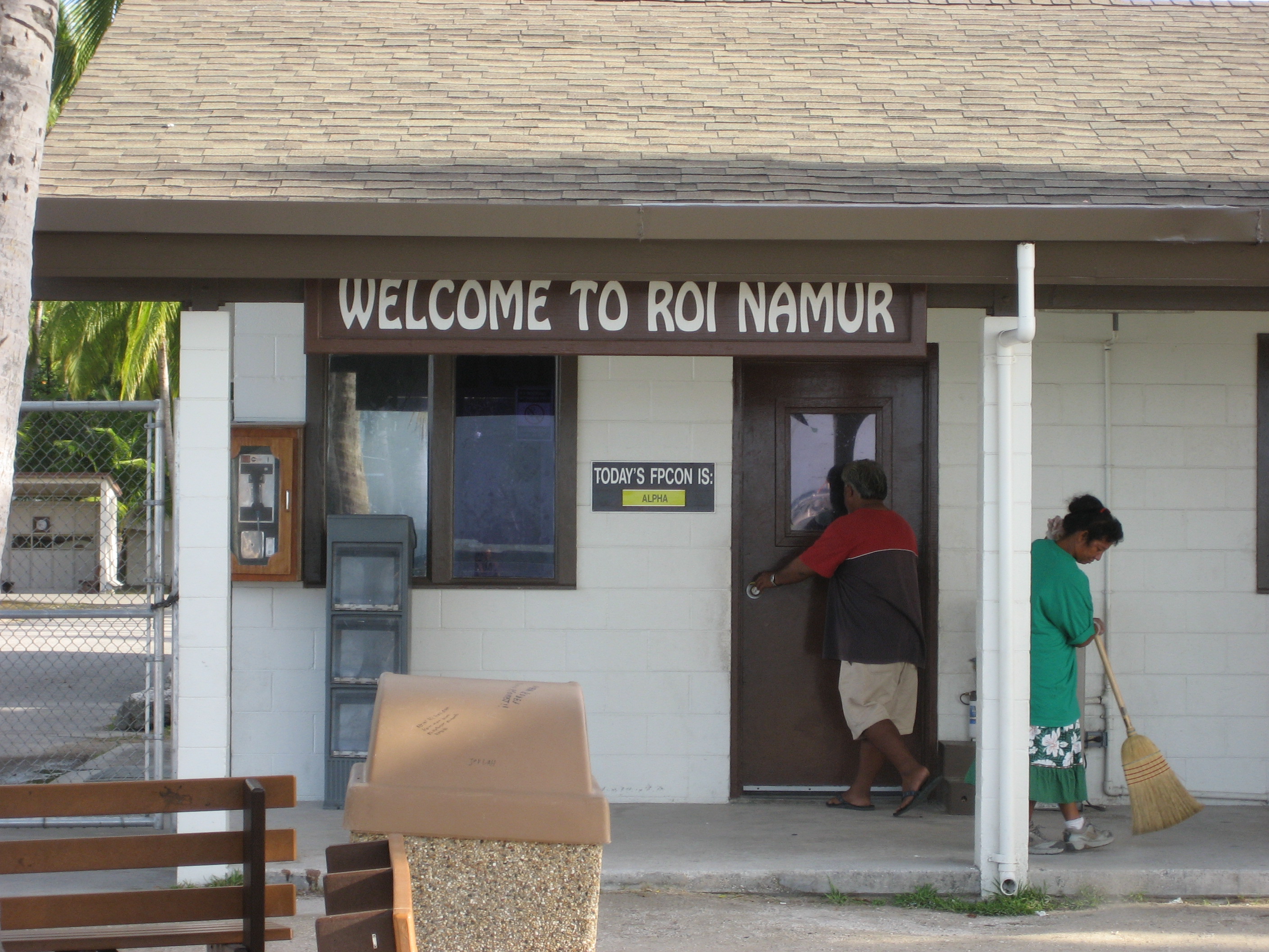
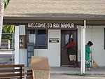 The Dock Security Checkpoint on Roi-Namur
It is home to about 100 Americans who work on the Ronald Reagan Ballistic Missile Defense Test Site. There is one runway for small planes that commute from Kwajalein. The activities on Roi-Namur range from a nine hole golf course, saltwater swimming pool, scuba club, movie theater, volleyball, and basketball court.
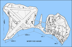
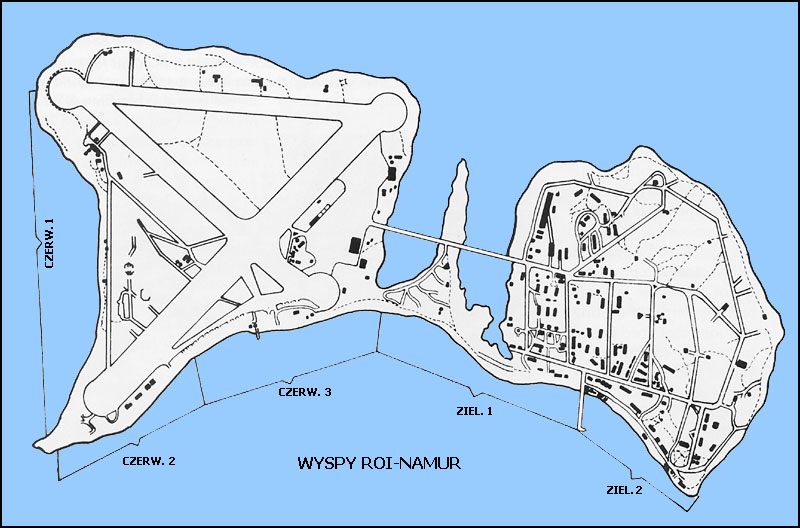
The island actually used to be two different islands until they were joined by the German navy who had used the place as a resupply base. The soil used to join the islands consists of excess ballast left by German ships after taking on supplies. The Namur side (Marshallese: Nim̧ur, /nʲɨmˠɨrˠʷ/ or [ni͡ɯm̴ɯ͡ur̴ʷ][3]) is home to the jungle and radar tracking stations. The Roi side (Ruot, /rˠʷɨɦˠʷɜtˠ/ or [r̴ʷuwɔ͡ʌt̴][3]) is the main housing area, with most of the retail facilities there. The housing department, library, gym, barber shop, snack bar, and Outrigger bar share one building. The store carries the same basic necessities as a convenience store, along with a DVD rental facility.
There are small launch facilities on Roi-Namur at which missiles defense tests have taken place. The missiles launched here are usually sounding rockets that ascend beyond the atmosphere but which have short ranges.
There are 4 large radars located on the island: TRADEX, ALTAIR, ALCOR, and MMW.
References
- ^ "National Register Information System". National Register of Historic Places. National Park Service. 2008-04-15. http://nrhp.focus.nps.gov/natreg/docs/All_Data.html.
- ^ "Roi-Namur". National Historic Landmark summary listing. National Park Service. http://tps.cr.nps.gov/nhl/detail.cfm?ResourceId=1897&ResourceType=District. Retrieved 2007-06-28.
- ^ a b Marshallese-English Dictionary - Place Name Index
External links
U.S. National Register of Historic Places Topics Lists by states Alabama • Alaska • Arizona • Arkansas • California • Colorado • Connecticut • Delaware • Florida • Georgia • Hawaii • Idaho • Illinois • Indiana • Iowa • Kansas • Kentucky • Louisiana • Maine • Maryland • Massachusetts • Michigan • Minnesota • Mississippi • Missouri • Montana • Nebraska • Nevada • New Hampshire • New Jersey • New Mexico • New York • North Carolina • North Dakota • Ohio • Oklahoma • Oregon • Pennsylvania • Rhode Island • South Carolina • South Dakota • Tennessee • Texas • Utah • Vermont • Virginia • Washington • West Virginia • Wisconsin • WyomingLists by territories Lists by associated states Other Categories:- Historic districts in Marshall islands
- Historic districts in the Marshall Islands
- National Historic Landmarks of the United States
- Kwajalein Atoll
- Marshall Islands geography stubs

Wikimedia Foundation. 2010.