- Morehouse Parish, Louisiana
-
Morehouse Parish, Louisiana 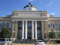
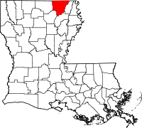
Location in the state of Louisiana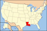
Louisiana's location in the U.S.Founded 1844 Named for Abraham Morehouse Seat Bastrop Largest city Bastrop Area
- Total
- Land
- Water
805 sq mi (2,085 km²)
794 sq mi (2,057 km²)
11 sq mi (28 km²), 1.37%Population
- (2000)
- Density
31,021
39/sq mi (15/km²)Time zone Central: UTC-6/-5 

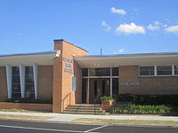 The Morehouse Parish Assessor's Office is located behind the parish courthouse in Bastrop.
Morehouse Parish (French: Paroisse de Morehouse) is a parish located in the U.S. state of Louisiana. The parish seat is Bastrop. In 2000, the parish population was 31,021.
Morehouse Parish is part of the Bastrop Micropolitan Statistical Area as well as the Monroe–Bastrop Combined Statistical Area.
Contents
Geography
The parish has a total area of 805 square miles (2,085 km²), of which, 794 square miles (2,057 km²) of it is land and 11 square miles (28 km²) of it (1.36%) is water.
Major highways
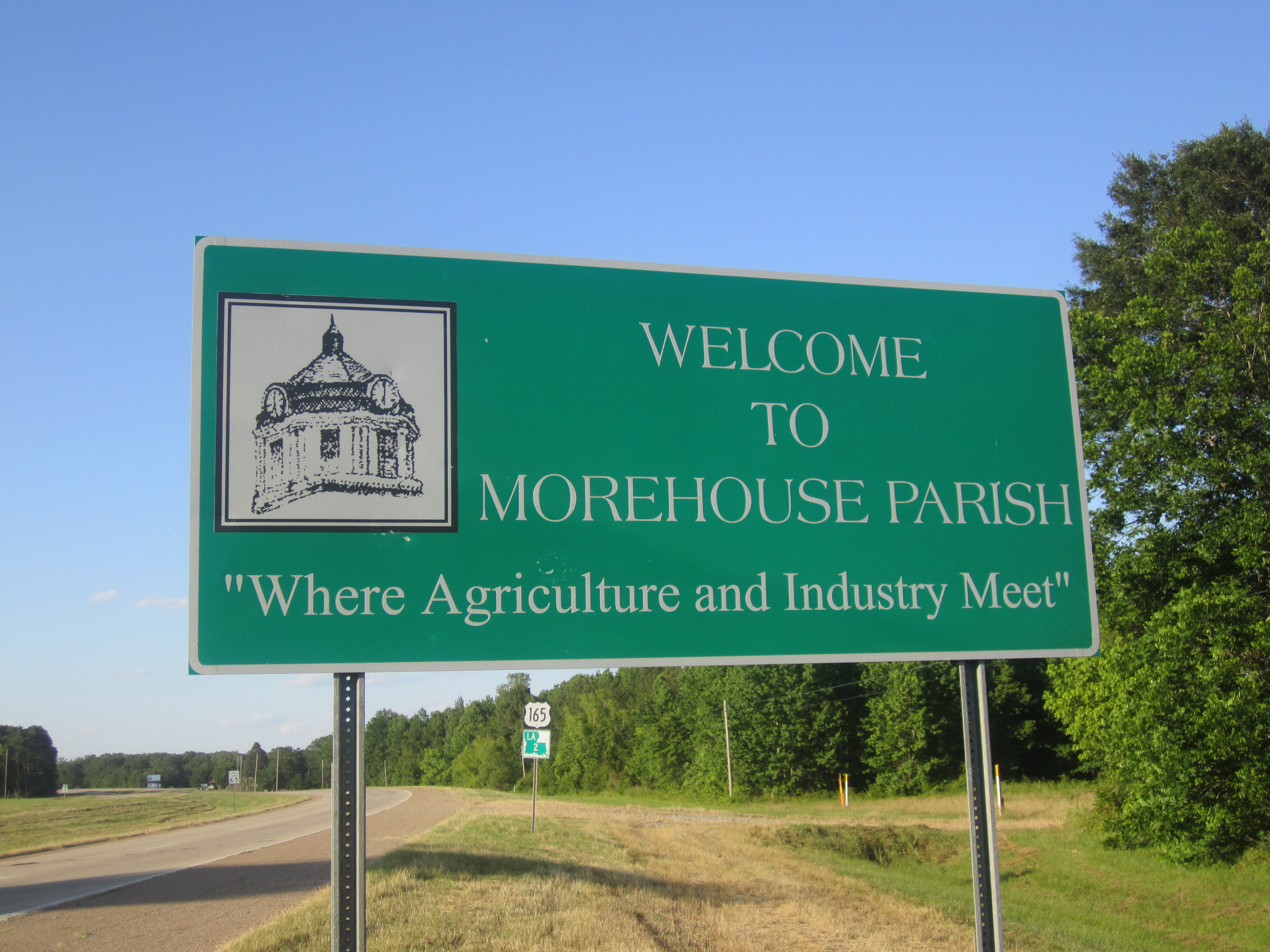
 U.S. Highway 165
 U.S. Highway 425
 Louisiana Highway 2
Adjacent counties and parishes
- Union County, Arkansas (northwest)
- Ashley County, Arkansas (north)
- Chicot County, Arkansas (northeast)
- West Carroll Parish (east)
- Richland Parish (southeast)
- Ouachita Parish (southwest)
- Union Parish (west)

Union County, Arkansas Ashley County, Arkansas Chicot County, Arkansas Union Parish 
West Carroll Parish  Morehouse Parish, Louisiana

Ouachita Parish Richland Parish National protected areas
Demographics
As of the census[1] of 2000, there were 31,021 people, 11,382 households, and 8,320 families residing in the parish. The population density was 39 people per square mile (15/km²). There were 12,711 housing units at an average density of 16 per square mile (6/km²). The racial makeup of the parish was 55.76% White, 43.36% Black or African American, 0.13% Native American, 0.18% Asian, 0.01% Pacific Islander, 0.12% from other races, and 0.44% from two or more races. 0.74% of the population were Hispanic or Latino of any race.
Census Pop. %± 1900 16,634 — 1910 18,786 12.9% 1920 19,311 2.8% 1930 23,689 22.7% 1940 27,571 16.4% 1950 32,038 16.2% 1960 33,709 5.2% 1970 32,463 −3.7% 1980 34,803 7.2% 1990 31,938 −8.2% 2000 31,021 −2.9% 2010 27,979 −9.8% Morehouse Parish Census Data[2] There were 11,382 households out of which 33.30% had children under the age of 18 living with them, 49.10% were married couples living together, 19.80% had a female householder with no husband present, and 26.90% were non-families. 24.40% of all households were made up of individuals and 11.60% had someone living alone who was 65 years of age or older. The average household size was 2.64 and the average family size was 3.14.
In the parish the population was spread out with 27.50% under the age of 18, 9.50% from 18 to 24, 26.40% from 25 to 44, 21.40% from 45 to 64, and 15.10% who were 65 years of age or older. The median age was 36 years. For every 100 females there were 91.40 males. For every 100 females age 18 and over, there were 86.10 males.
The median income for a household in the parish was $25,124, and the median income for a family was $31,358. Males had a median income of $31,385 versus $18,474 for females. The per capita income for the parish was $13,197. About 21.30% of families and 26.80% of the population were below the poverty line, including 35.90% of those under age 18 and 23.80% of those age 65 or over.
Cities and towns
 Map of Morehouse Parish, Louisiana With Municipal Labels
Education
Morehouse Parish School Board operates local public schools.
National Guard
1023rd Engineer Company (Vertical) of the 528th Engineer Battalion of the 225th Engineer Brigade is located in Bastrop.
See also
References
- ^ "American FactFinder". United States Census Bureau. http://factfinder.census.gov. Retrieved 2008-01-31.
- ^ United States Census Bureau. "Louisiana Population of Counties by Decennial Census: 1900 to 1990". http://www.census.gov/population/cencounts/la190090.txt. Retrieved 2008-02-02.
Municipalities and communities of Morehouse Parish, Louisiana Cities 
Villages Bonita | Collinston | Mer Rouge | Oak Ridge
Categories:- Louisiana parishes
- Morehouse Parish, Louisiana


Wikimedia Foundation. 2010.