- Combe, Berkshire
-
Coordinates: 51°20′44″N 1°28′10″W / 51.3455°N 1.4694°W
Combe 
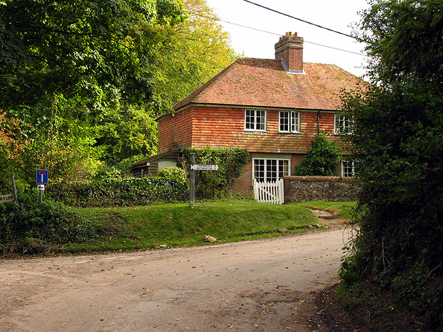
Intersection at Combe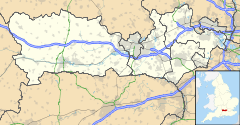
 Combe
Combe
Combe shown within BerkshirePopulation 38 (2001) OS grid reference SU370608 Parish Combe Unitary authority West Berkshire Ceremonial county Berkshire Region South East Country England Sovereign state United Kingdom Post town HUNGERFORD Postcode district RG17 Dialling code 01488 Police Thames Valley Fire Royal Berkshire Ambulance South Central EU Parliament South East England UK Parliament Newbury List of places: UK • England • Berkshire Combe is a village and civil parish in the English county of Berkshire. It is situated in the district of West Berkshire, on the top of the downs near Walbury Hill and Combe Gibbet, overlooking the village of Inkpen and the valley of the River Kennet. Before 1895, Combe was in Hampshire.[1]
Bronze Age people used communal 'long barrows' to bury their dead and one still exists directly beneath the Gibbet at Combe. Both male and female bodies of the dead may have been left in the open to be reduced to skeletons by carrion before being collected and buried. In many cases the corpses were carefully assembled with the head to the south, men facing east, women facing west. It is unknown whether this was the case in the so-called 'Inkpen' long barrow (named after the village to the north), though it is on an east-west alignment.
References
- ^ Vision of Britain - Coombe, Hampshire (historic map). Retrieved on 2008-08-17.
External links
 Media related to Combe, Berkshire at Wikimedia CommonsCategories:
- History of Hampshire
- Villages in Berkshire
- West Berkshire
- Civil parishes in Berkshire
- Berkshire geography stubs

Wikimedia Foundation. 2010.