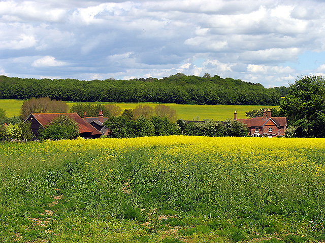
- Ownham
-
Coordinates: 51°25′48″N 1°23′43″W / 51.429992°N 1.395145°W
Ownham 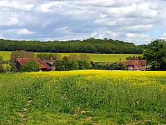
Coombesbury Farm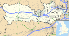
 Ownham
Ownham shown within BerkshireOS grid reference SU420704 Metropolitan borough West Berkshire Metropolitan county Berkshire Region South East Country England Sovereign state United Kingdom Post town NEWBURY Postcode district RG20 Dialling code 01635 Police Thames Valley Fire Royal Berkshire Ambulance South Central EU Parliament South East England UK Parliament Newbury List of places: UK • England • Berkshire Ownham is a hamlet in Berkshire, England, and part of the civil parish of Welford.
The settlement lies south of the M4 motorway, and is located approximately 4 miles (6.4 km) north-west of Newbury.
There are 7 dwellings in Ownham, all now residential although in the past they included farms, a chapel of rest, a merchant house and a farm tenant's cottage.
A community count in September 2010 showed 12 adults, 6 children, 6 dogs, 5 cats and 2 horses lived in the hamlet.
Located at the top of a hill above Boxford, the hamlet has views over the Lambourn Valley.
Categories:- Berkshire geography stubs
- Villages in Berkshire
- West Berkshire

Wikimedia Foundation. 2010.