- Marlston
-
Coordinates: 51°26′34″N 1°14′09″W / 51.442913°N 1.235777°W
Marlston 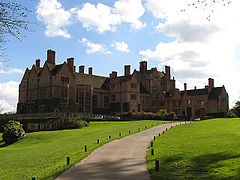
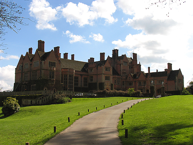
Brockhurst and Marlston House School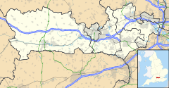
 Marlston
Marlston shown within BerkshireOS grid reference SU532718 Metropolitan borough West Berkshire Metropolitan county Berkshire Region South East Country England Sovereign state United Kingdom Post town THATCHAM Postcode district RG18 Dialling code 01635 Police Thames Valley Fire Royal Berkshire Ambulance South Central EU Parliament South East England UK Parliament Berkshire List of places: UK • England • Berkshire Marlston is a hamlet in the English county of Berkshire, within the civil parish of Bucklebury.
The settlement lies south of the M4 motorway, and is located approximately 3 miles (4.8 km) north-east of Thatcham.
The place-name 'Marlston' is first attested as 'Marteleston' in 1242, and means 'Martel's town or manor'. Galfridus Martel held the manor in 1242; 'Martel' is a French nickname meaning 'hammer', from the Old French 'martel' (modern French 'marteau').[1]
The area is the location of Brockhurst and Marlston House School, a large preparatory school.
References
- ^ Eilert Ekwall, Concise Oxford Dictionary of English Place-names, pp. 315 and 241.
External links
 Media related to Marlston at Wikimedia CommonsCategories:
- Berkshire geography stubs
- Villages in Berkshire
- West Berkshire

Wikimedia Foundation. 2010.