- Colthrop
-
Coordinates: 51°24′13″N 1°13′31″W / 51.403686°N 1.225291°W
Colthrop 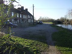
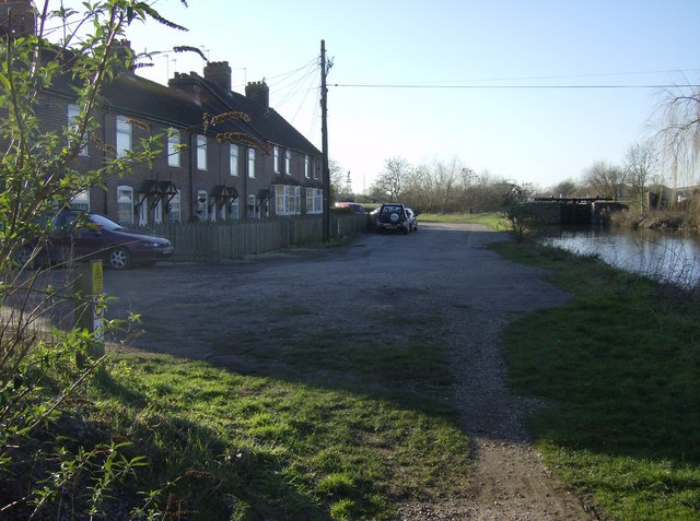
Cottages at Colthrop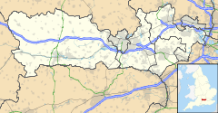
 Colthrop
Colthrop shown within BerkshireOS grid reference SU542668 Metropolitan borough West Berkshire Metropolitan county Berkshire Region South East Country England Sovereign state United Kingdom Post town Thatcham Postcode district RG19 Dialling code 01635 Police Thames Valley Fire Royal Berkshire Ambulance South Central EU Parliament South East England UK Parliament Berkshire List of places: UK • England • Berkshire Colthrop is a village in Berkshire, England, and part of the civil parish of Thatcham.
The settlement lies on the A4 road, and is the location of numerous industrial parks and haulage depots due to the area's proximity to Thatcham railway station.
External links
 Media related to Colthrop at Wikimedia CommonsCategories:
- Berkshire geography stubs
- Thatcham
- Villages in Berkshire
- West Berkshire

Wikimedia Foundation. 2010.