- Main Street Unionville
-
Main Street Unionville
(Main Street) 
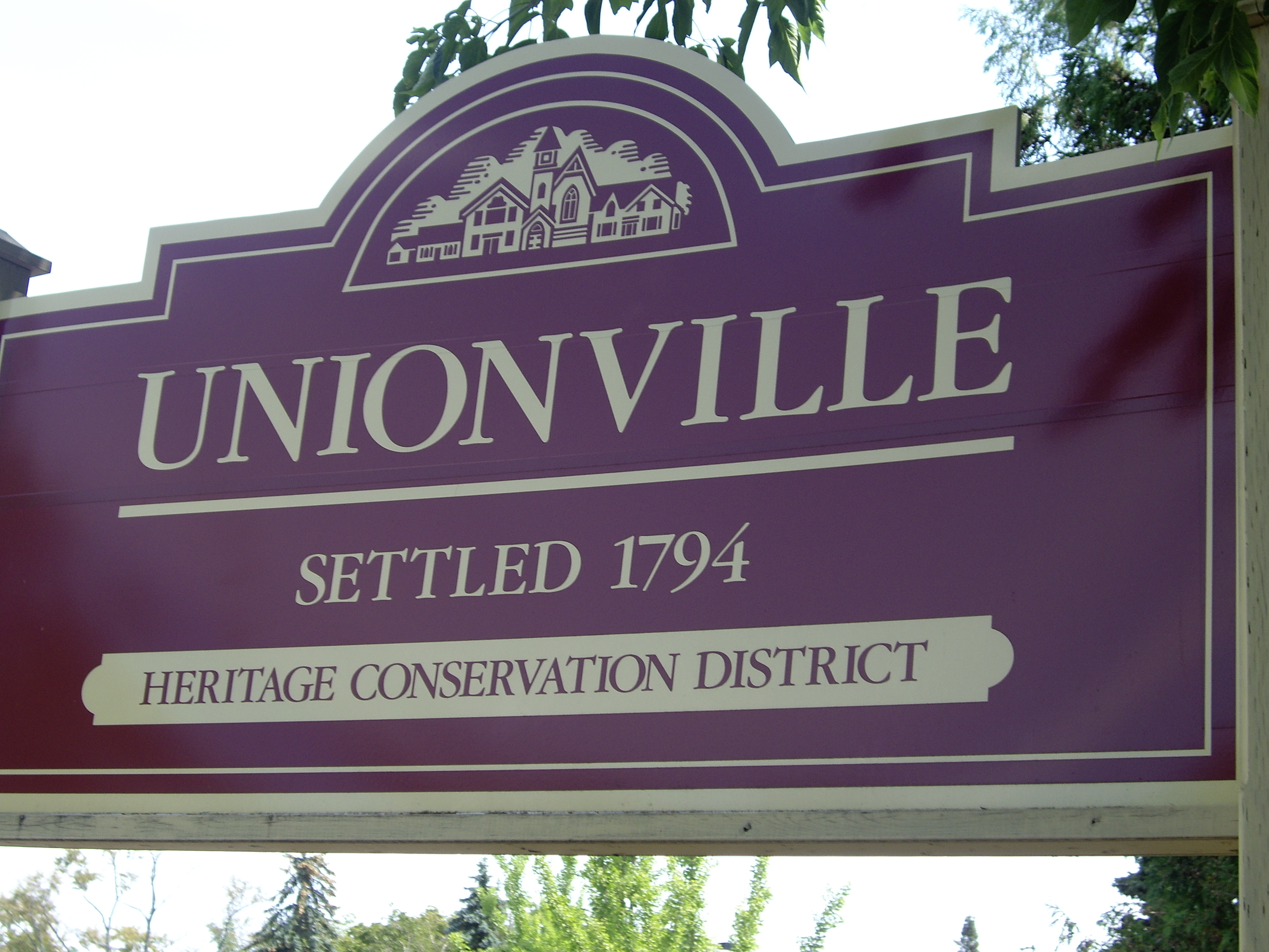
Route information Length: 2.75 km (1.71 mi) Existed: 1840 – present Major junctions South end: Enterprise Drive / Unionville Gate North end: Rosemary Close Location Counties: York Major cities: Markham 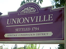 Unionville's Welcome Sign found near the street's intersection with Fred Varley Drive.
Main Street Unionville is a collector route that runs through the historical suburban community of Unionville, Ontario. Like most other Main Streets, the street serves as an important road for local tourism development. All along the road, the street has structures that are virtually unchanged from its founding in 1794. Renowned for its pubs, parks, restaurants, and its historical European view, the road also hosts the annual Unionville Festival, which draws several thousand visitors to the town.
Contents
Road Information
- Local name: Main Street
- Attractions: Unionville Fairways Golf Course, Historical Village of Unionville, Varley Gallery
- Road Status: From Unionville Gate to Carlton Road, the road is a paved 4-lane avenue, with a speed limit of 40 km/h. However, the right lane is often blocked due to parked vehicles left by tourists. North of Carlton Road, the road is a paved, two-laned street.
- Zonings: Mainly commercial and parklands, with residential zonings from 1794.
Trivia and History
Entertainment Trivia
Main Street Unionville hosts annual jazz and Celtic festivals, as well as live music in the new bandstand in the summer. The street was also used as a stand-in for fictional Connecticut town Stars Hollow during the first season of The WB's Gilmore Girls television show.
Also, the movie The Scream Team, was shot on this street.
Road History
Main Street Unionville was the original 6th line of Markham Township. This road was undeveloped until about 1840 when the mill was developed at what is now Carlton Road. The mill needed the water from the pond to the north-west but the swamp to its immediate south made travel virtually impossible. The common road developed along the ridge to the south and this became the main passage way. About this time the area on the north-west corner of the road and 15th Avenue (now York Regional Road 7) was subdivided but undeveloped until the coming of the railway in 1872. Unionville, as the center of the township, had until the 1970s held the town offices. The development of the subdivision immediately to the west of the small town in the late 1960s, brought attention to the run down nature of the buildings in the business area. The provincial government, with support of the regional and township governments were prepared to widen the road, which would have meant the demolition of the buildings. A great furor arose, culminating the Unionville Annual Festival, whose original purpose was to bring attention to the situation and to raise funds to fight the widening. Quickly, local politicians came on board and the road widening was stopped. In the early 1980s, the bypass was built around Main Street Unionville to relieve the heavy traffic. The bypass became what is now Kennedy Road and the original line was renamed as Main Street Unionville. With the coming of change the buildings were revived and a unique Victorian Village atmosphere came into being.
Settlement History
Main article: Unionville, Ontario#HistoryLandmarks
- Unionville Fairways Golf Course
- Historical Village of Unionville
- Varley Art Gallery
- Unionville Library
-
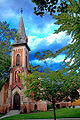
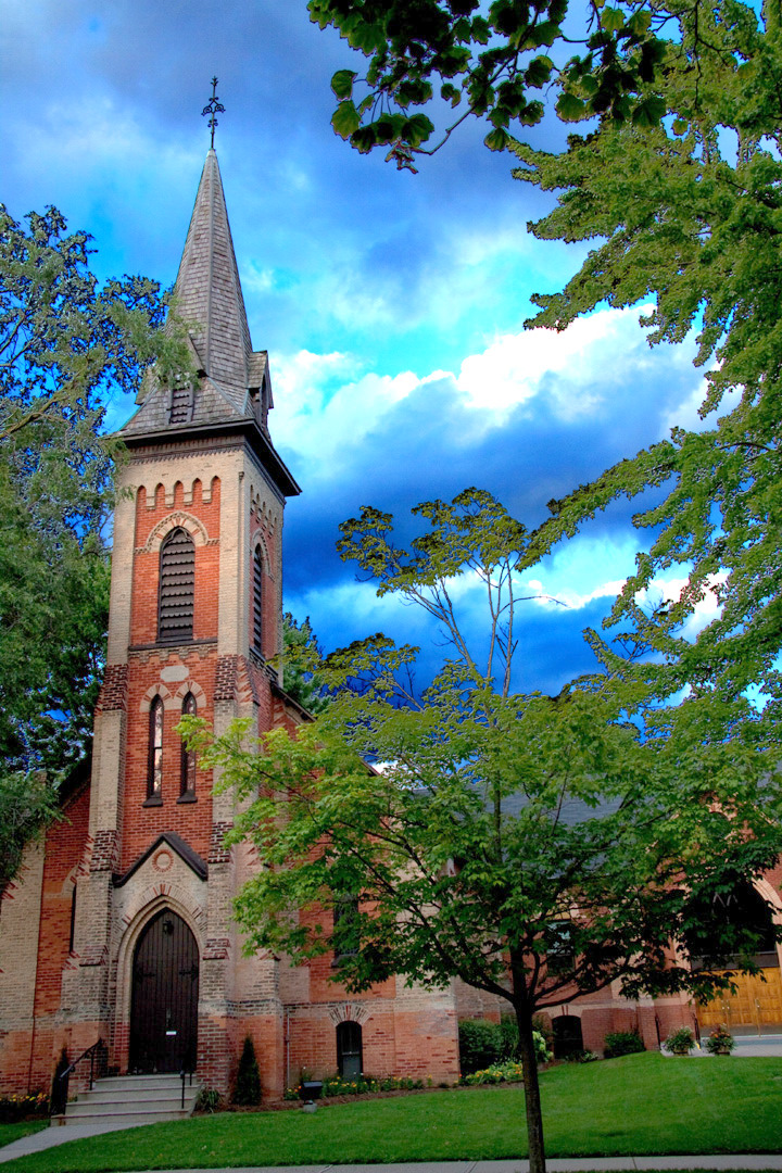
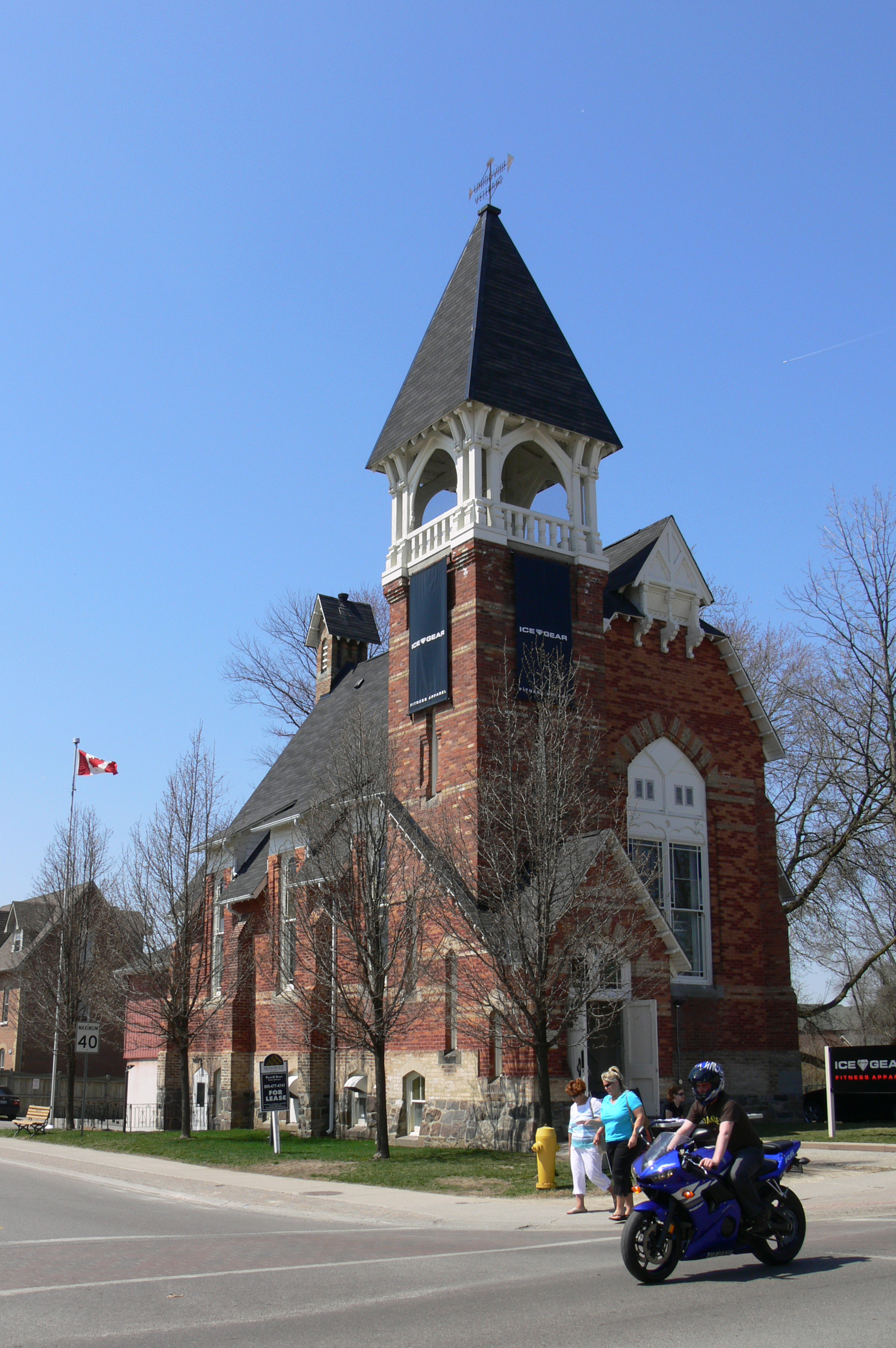
Main Street church
-

Old Unionville church, built by the architect of Casa Loma
-

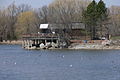
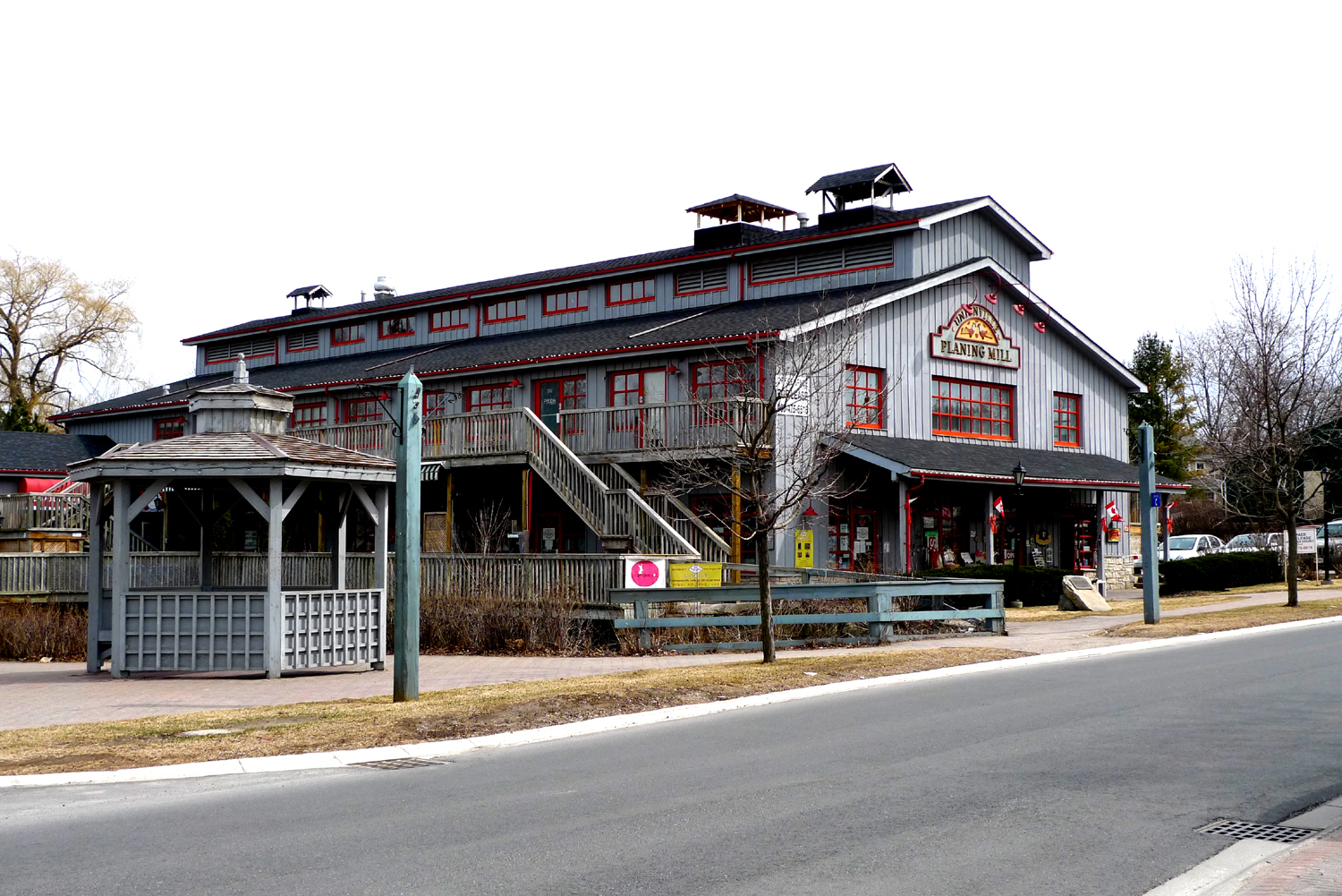
Unionville Planing Mill
-

Unionville Main Street
-
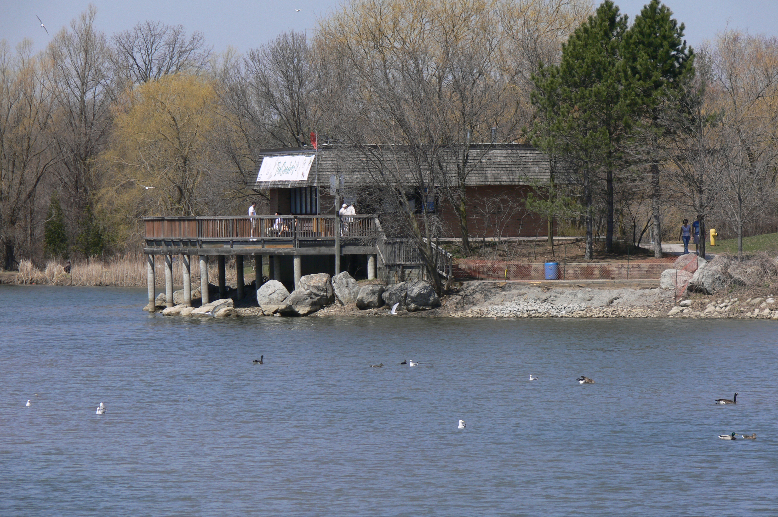
Toogood Pond
Roads in Markham, Ontario East-West Municipal Roads: 
North-South Municipal Roads: Birchmount • Brimley • Cornell Centre (Old Markham By-Pass) • Main Street Unionville • Victoria ParkRegional Roads: 1 (Yonge) • 3 (Kennedy) • 7 • 8 (Woodbine) • 12 (Don Mills / Leslie) • 25 (Major MacKenzie) • 30 (York - Durham) • 34 (Bayview) • 48 (Donald Cousens) • 49 (Elgin Mills) • 65 (Warden) • 67 (McCowan) • 68 (Markham ) • 69 (Ninth) • 71 (Fourteenth) • 73 (Sixteenth)Highways and Expressways: See also Roads in Ontario Topics on Markham, OntarioMain topicsFounder • Government • History • Mayor • Previous Mayors • York Region (portal) • Markham municipal election, 2010 • Markham Ward 3 By-election, 2009 • Markham municipal election, 2006
TransportationCommunitiesAngus Glen • Armadale • Berczy Village • Box Grove • Buttonville • Cachet • Cashel • Cedar Grove • Cornell • Dickson Hill • Downtown Markham • Gormley • Greensborough • Legacy • Locust Hill • Old Markham Village • Markham Centre • Milliken • Mongolia • Quantztown • Unionville • Thornhill • Underwood • Vinegar Hill • Wismer Common
Education / SchoolsElementary: All Saints • Armadale • Ashton Meadows • Boxwood Public School • Castlemore • Central Park • Boxwood • San Lorenzo Ruiz • William Berczy
Secondary: Brother André • McGivney • Markham District • Markville • Middlefield • Milliken Mills • St. Augustine • St. Robert • Thornhill • Thornlea • Trudeau • Unionville
Post Secondary: Seneca College: Buttonville Airport Campus, Markham CampusAthletics, Recreation, and ShoppingAthletics: Markham Waxers • Sports
Recreation: Angus Glen Golf Club • Cedar Brae Golf & Country Club • Parks
Shopping: Markville Mall • Pacific Mall • Market VillageAttractionsMain Street Unionville • Main Street Markham • Markham Fair • Markham Museum • Markham Train Station • Thornhill Village • Varley Art Gallery
Media, and ServicesNotable PeopleBill Crothers • Brad May • Sean Morley • Ken Pereira • Tammy Sutton-Brown • Steve Thomas • Raffi Torres • Stephen Weiss • Steve Byers • Emmanuelle Chriqui • Hayden Christensen • Talan Torriero • Justin Peroff
Sister CitiesCary, North Carolina • Nördlingen, Germany • Pearland, Texas • Wuhan, China
Categories:- Roads in Markham, Ontario

Wikimedia Foundation. 2010.