- Mullayanagiri
-
Mullayanagiri 
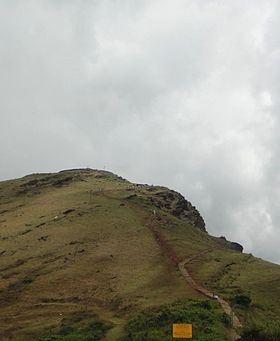
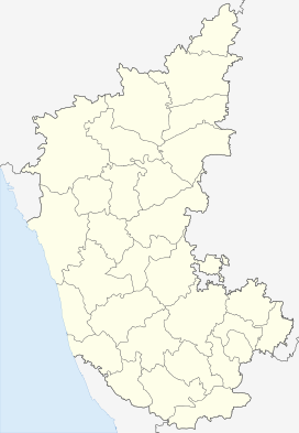
Mullayanagiri PeakElevation 1,930 m (6,332 ft) Translation ಮುಳ್ಳಯ್ಯನಗಿರಿ (Kannada) Location Location of Mullayyanagiri, Karnataka Location Chikmagalur, Karnataka, India Range Baba Budan Giri Range Coordinates 13°23′27.5″N 75°43′17″E / 13.390972°N 75.72139°ECoordinates: 13°23′27.5″N 75°43′17″E / 13.390972°N 75.72139°E Mullayanagiri (Kannada: ಮುಳ್ಳಯ್ಯನಗಿರಿ) (also spelt Mullayangiri or Mullainagiri), is the highest peak in Karnataka, India. Mullayanagiri is located at 13°23′26″N 75°43′18″E / 13.39056°N 75.72167°E in the Baba Budan Giri Range of the Western Ghats. With a height of 1,930 metres (6,330 ft), it is the highest peak between the Himalayas and the Nilgiris after chembra peak (2100 m),banaura peak(2073m),and vellari mala(2339m) of wayanad district of kerala.
See also
External links
History Towns Chickmagalore · Kadur · Tarikere · Mudigere · Narasimharajapura · Balehonnur · Sringeri · Koppa · Birur · BanakalTemple townsPeople Rivers Education Adichunchanagiri Institute of Technology & Jawahar Navodaya Vidyalaya Balehonnur (JNVB)Tourism Kemmangundi · Kudremukh · Mullayanagiri · Baba Budan Giri · Hanumanagundi Falls · Hebbe Falls · Bhadra Wildlife SanctuarySee also Categories:- Western Ghats
- Hills of India
- Mountains of Karnataka
- Highest points of Indian states
- Mysore Division geography stubs
Wikimedia Foundation. 2010.


