- Motueka
-
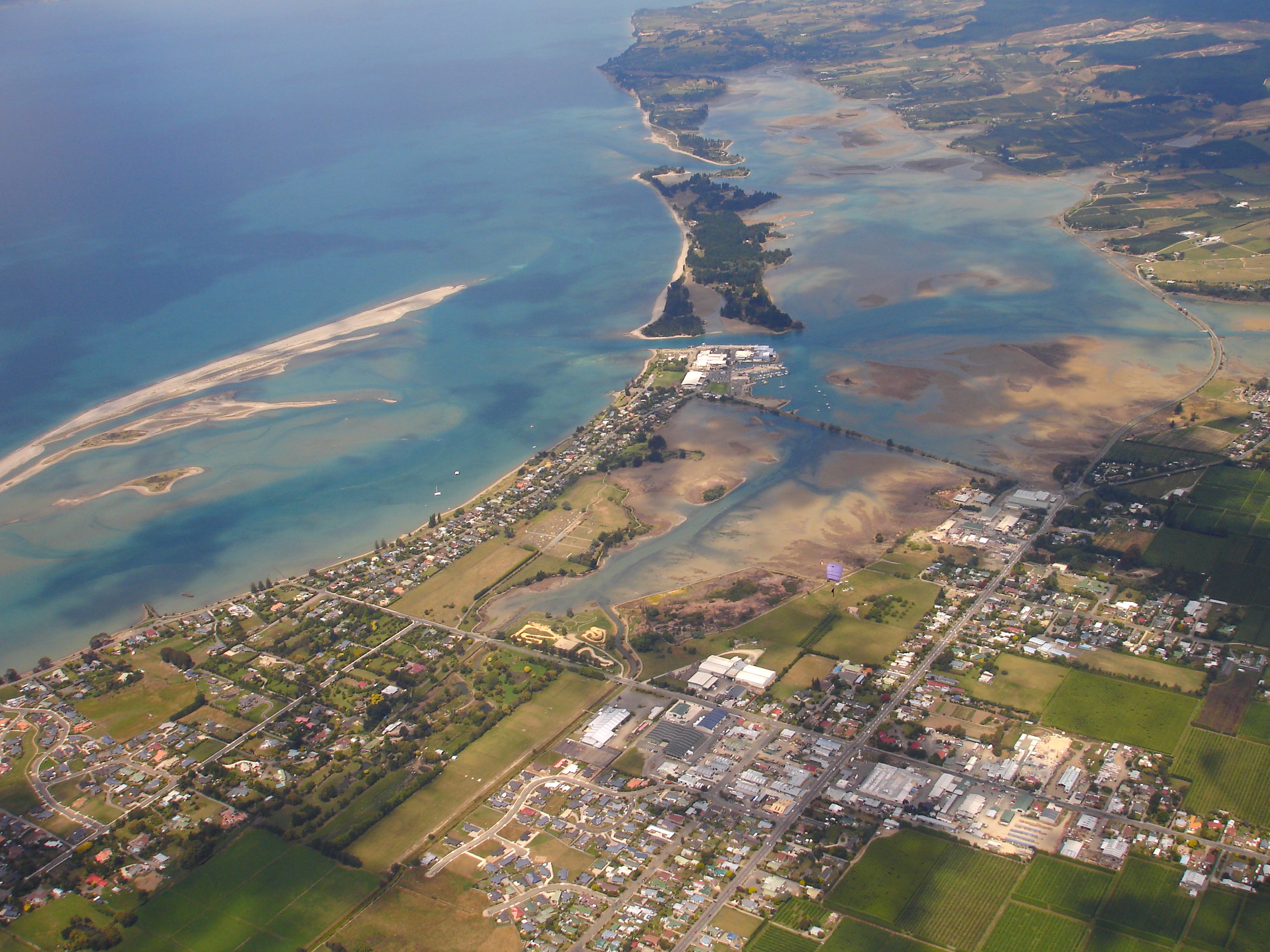
Motueka — Town — An aerial view of Motueka looking south
Nickname(s): "Mot" Motueka's location within New Zealand
 Motueka
Coordinates: 41°07′24″S 173°00′53″E / 41.12333°S 173.01472°ECoordinates: 41°07′24″S 173°00′53″E / 41.12333°S 173.01472°E Country New Zealand Region Tasman District Population (2006 [1]) - Total 7,125 Demonym Motuekian Time zone NZST (UTC+12) - Summer (DST) NZDT (UTC+13) Postal codes 7120, 7196, 7197, 7198 Area code 03 Website http://www.motuekaonline.org.nz The town of Motueka in the South Island of New Zealand lies close to the mouth of the Motueka River, on the western shore of Tasman Bay. It is, after Nelson and Richmond, the third largest centre in the Tasman Region, with a population of 7125 (2006 census).[2] The Motueka Ward had an estimated population of 10,900 at 30 June 2009.[3]
The surrounding district has a number of orchards, as well as growing a variety of specialised crops such as hops, and formerly serving as the main centre of tobacco growing in New Zealand. A number of small vineyards have developed in recent years, one (Neudorf) gaining an international reputation.
Nearby beaches (such as Kaiteriteri Beach and Marahau) are very popular with holidaymakers, and the area around Motueka has one of the country's highest annual sunshine-hour indices.
Motueka, as one of the nearest towns to the Abel Tasman and Kahurangi National Parks, has become the base of many tourism ventures in those parks, as well as in Nelson Lakes National Park, and in other recreational areas. Extensive limestone cave systems (including Harwood Hole in the Takaka Hill area north of Motueka) attract cavers and rock climbers. Sea kayaking and tramping now attract many thousands of visitors each year.
Many artists live in the area around Motueka, especially potters and reggae musicians. The Riverside Community, in nearby Lower Moutere is a pacifist intentional community. Founded in the 1940s, it is New Zealand's oldest cooperative living community.[4]
Contents
Name
The name Motueka, or more correctly Motuweka, comes from the Maori language, and means weka island, the weka being a small bird of the rail family.
The town is often colloquially referred to as "Mot" by some residents.
History
The first known European visitor to the coast near Motueka in 1827 was French explorer Jules Dumont d'Urville, of the French corvette Astrolabe. He explored and described much of the Tasman Bay shore line. Three ships carrying the New Zealand Company's Nelson expedition, led by Captain Arthur Wakefield, anchored at Astrolabe Roads, north of Kaiteriteri Beach (about 16 km due north of Motueka) in October 1841. Kaiteriteri was selected as a site for the first settlement but was later abandoned in favour of Nelson Haven. The exceptional fertility of the soil and the suitability of the surrounding land for small farm settlement were the main reasons for the establishment of the second town of the Nelson settlement at Motueka in 1842. Motueka was created as a borough in 1900.
Geography
Motueka is situated on the small Motueka Plain near the Motueka River which enters Tasman Bay about 4 km north of the town. To the west of the valley the land rises steeply to the Arthur and Pikiruna Ranges, and to the south the flat is broken by the gently rolling Moutere Hills.
The source of the Pearse River near Motueka is the deepest known cold-water cave in the world.[5]
Demographics
The Motueka Ward of the Tasman District Council had an estimated population of 10,900 at 30 June 2009.
Religion
Motueka once served as a centre for the Plymouth Brethren: their New Zealand patriarch James George Deck (1807–1884) lies buried in Motueka cemetery.
Economy
At the height of tobacco production, Motueka was home to two tobacco factories. One owned by Australian company WD & HO Wills Holdings and the other by Rothmans International.
One of the town's largest employers is the Talley's Group, established in 1936 by Yugoslavian immigrant Ivan Peter Talijancich. The company's Port Motueka site incorporates the Group Head Office, the Seafood Division and the Dairy Division. The Vegetable Division began operations in 1978 at Motueka, but has since been relocated to Blenheim and Ashburton.[6]
New Zealand Energy Limited is a Motueka based company that operates small hydroelectric power stations in Haast, Fox, Opunake and Raetihi.
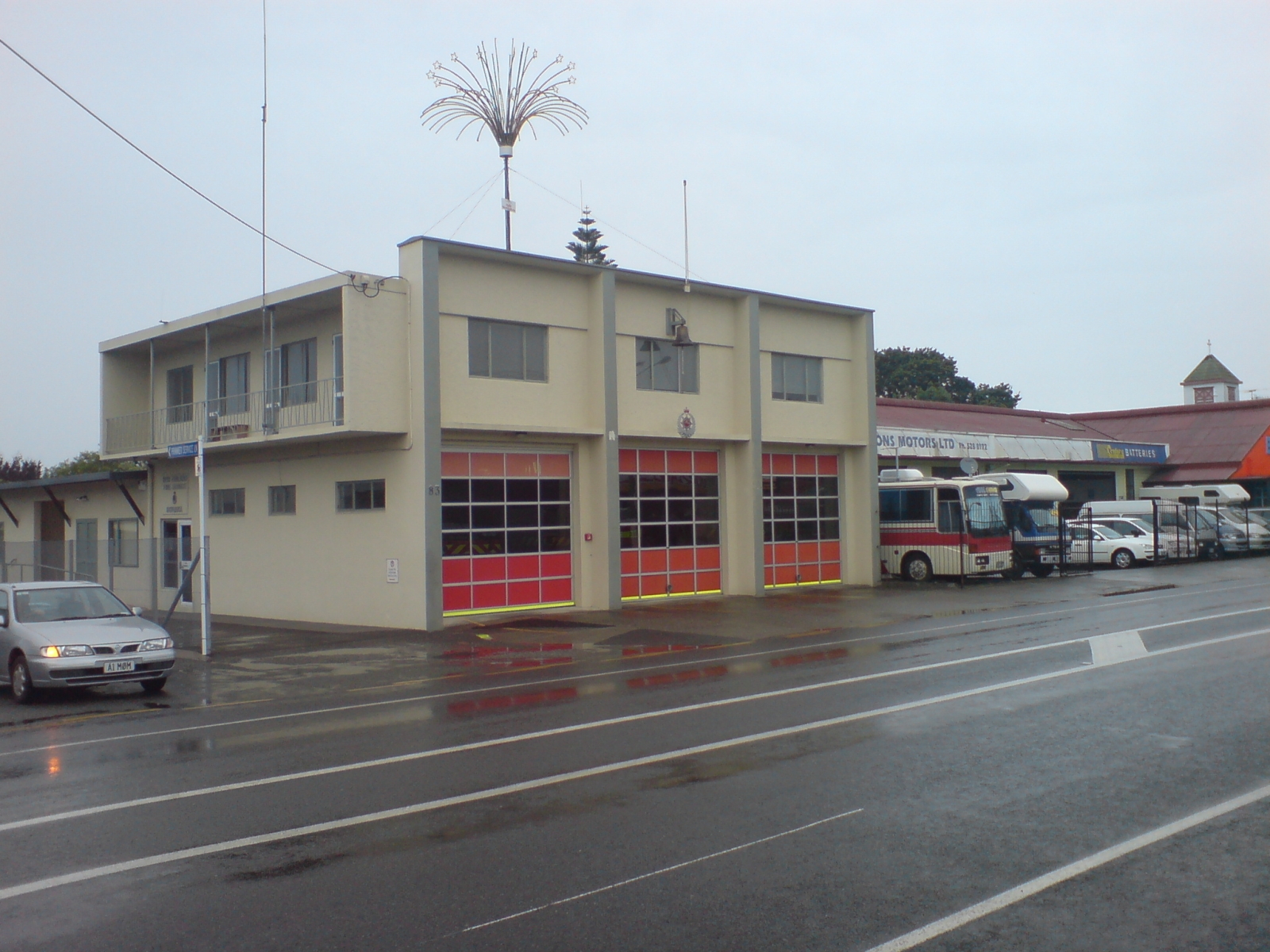
 Motueka Fire Station
Government
Local
The Motueka Borough Council was formed in 1900 and existed until 1989, when local government reforms saw it merged into the Tasman District Council. Today the Motueka Ward is represented by 3 Councillors and includes the nearby settlements of Kaiteriteri, Marahau and Riwaka.[7]
National
The electorate of Motueka and Massacre Bay was created for the 1853 New Zealand general election and was succeeded by the electorate of Motueka in the 1860-1861 general election which lasted until 1890. In 1896 the Motueka electorate was recreated, and lasted until 1946. Today Motueka is part of the West Coast-Tasman electorate.
Education
Motueka has 1 secondary school and 9 primary schools.[8]
Primary Schools
- Brooklyn School
- Lower Moutere School
- Motueka South School
- Parklands School
- Riwaka School
- Rudolf Steiner School
- St Peter Chanel School
- Tasman School
- Tasman Bay Christian School
Secondary Schools
Media
There are two local newspapers in Motueka: The Guardian Motueka - out every Wednesday and The Motueka Golden Bay News -out every Thursday. The area has a local radio station, Fresh FM, which also broadcasts to Blenheim, Nelson, Takaka and Tasman.
Transport
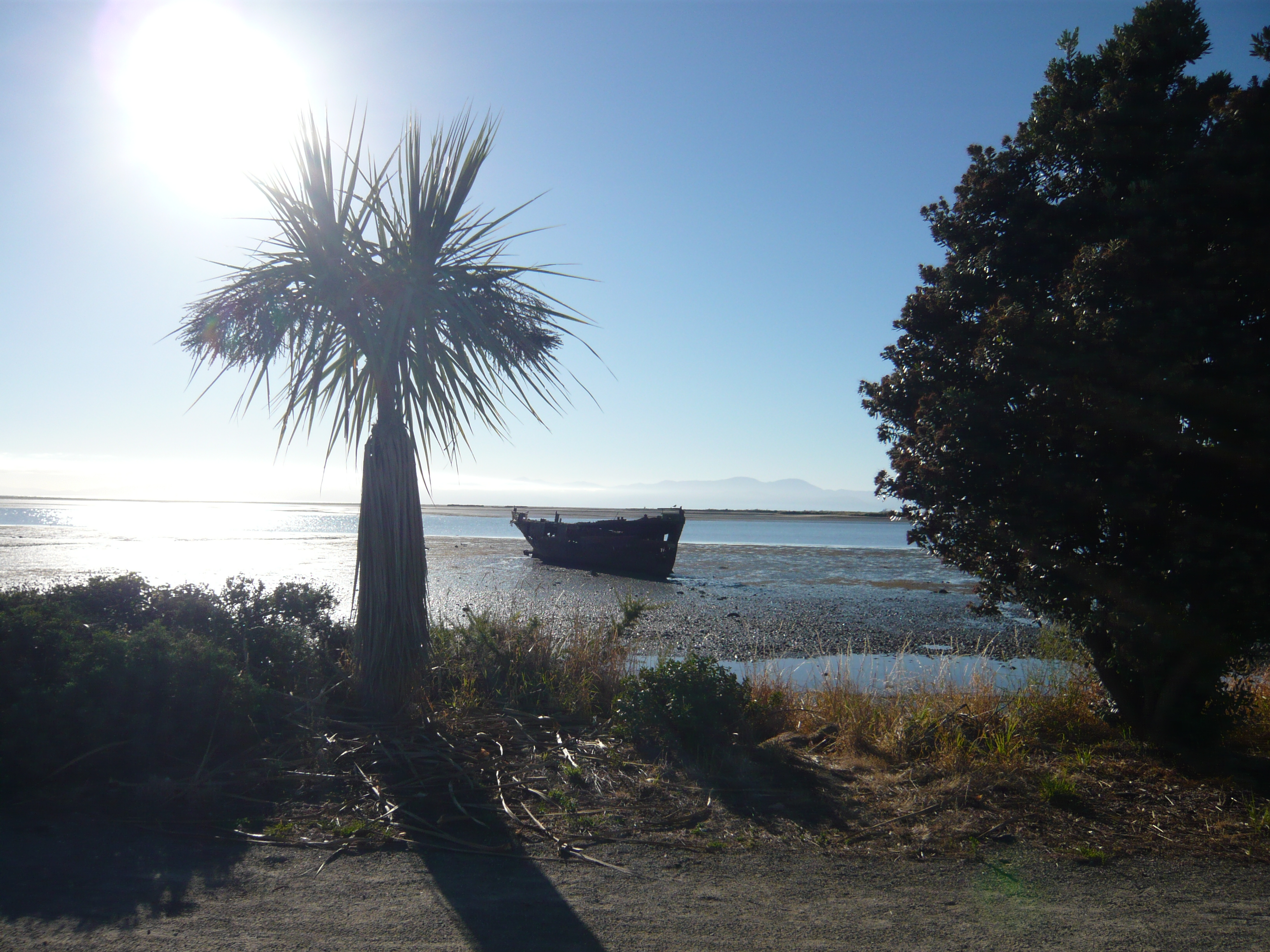
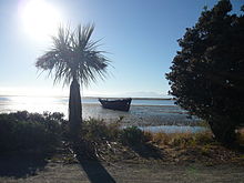 Motueka Beach at low tide.
Motueka is served by State Highway 60 which runs 114.5 km from Collingwood in Golden Bay to State Highway 6 near Richmond.
The former State Highway 61, now known as the Motueka Valley Highway connects State Highway 60 at Motueka to State Highway 6 at Kohatu Junction near Tapawera.
Port Motueka, 3 km south-east of Motueka, on a tidal lagoon of some 2,500 acres, provides sheltered berthage for coastal vessels.
The Motueka Aerodrome is located 3 km west of the town centre and serves as a base for the Motueka Aero Club,[9] the Nelson Aviation College and several sky diving businesses. The airstrip at the Motueka Aerdrome is often used by the Nelson Drag Racing Association for drag racing events.[10] In 1984, Motueka Air started scheduled passenger flights from Motueka to Wellington, New Zealand using a Piper Aztec aircraft. Within a couple of years the Motueka Air network had grown to include Nelson, Wellington and Palmerston North using additional Piper Chieftans. In 1988, Motueka Air was renamed Air Nelson and relocated to Nelson Airport.[11]
Panoramas
Culture and Arts
Architecture
Festivals
- Kaiteriteri Carnival
- Motueka Festival of Lights
Notable residents
- Denis Aberhart, cricketer
- Simon Mannering, rugby league player
- George Black, politician
- Edward Chaytor, military commander
- Bevan Congdon, cricketer
- Josh Coppins, professional motocross racer
- Herbert Curtis, politician
- James George Deck, evangelist
- Ruth Gilbert, poet
- Owen Franks, Rugby Player, Crusaders, All Black
- Toni Hodgkinson, middle distance runner
- Keith Holyoake, politician
- Denny Hulme, Formula One car racer
- Richmond Hursthouse, politician
- Roderick McKenzie, politician
- Glenn Milnes, cricketer
- Walter Moffatt, Mayor of Nelson
- Michael Myers, Chief Justice of New Zealand
- Charles Parker, politician
- Richard Phineas Hudson, politician
- Alfred Christopher Picard, politician
- Bill Rowling, politician
- Clarence Skinner, politician
- Brigette Thomas, winner of New Zealand's Next Top Model, Cycle 3
- Florence Young, missionary
Sport
Teams
Venues
Sister cities
Motueka is twinned with:
External links
References
- ^ Motueka Online. "About Motueka". motuekaonline.org.nz. http://www.motuekaonline.org.nz/about-motueka.html. Retrieved 9 November 2010.
- ^ http://www.tasman.govt.nz/tasman/settlements/motueka/
- ^ http://www.tasman.govt.nz/council/mayor-councillors/motueka-ward/
- ^ http://riverside.orconhosting.net.nz/
- ^ Steward, Ian (10 May 2011). "Motueka cave 'world's deepest' of its kind". The Nelson Mail. http://www.stuff.co.nz/nelson-mail/news/4984625/Motueka-cave-worlds-deepest-of-its-kind. Retrieved 26 October 2011.
- ^ http://talleys.co.nz/aboutus.htm
- ^ http://www.tasman.govt.nz/council/mayor-councillors/motueka-ward/
- ^ http://www.motuekaonline.org.nz/schools/index.html
- ^ http://www.flyingnz.co.nz/club_pages/motueka.html#
- ^ http://www.ndra.co.nz/index.html
- ^ http://www.airnelson.co.nz/company-facts
- ^ http://www.tasman.govt.nz/council/council-information/friendly-towns/
Categories:- Populated places in New Zealand
- Tasman Region
- Nelson, New Zealand

Wikimedia Foundation. 2010.