- Nelson Lakes National Park
-
Nelson Lakes National Park Map of New Zealand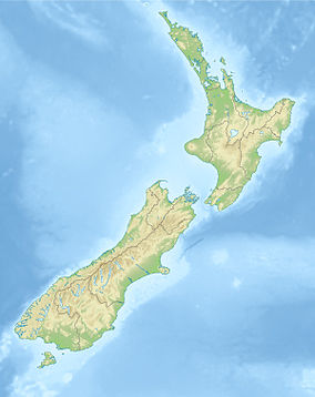

Location Tasman District Nearest city Saint Arnaud, New Zealand Coordinates 41°49′9″S 172°50′15″E / 41.81917°S 172.8375°ECoordinates: 41°49′9″S 172°50′15″E / 41.81917°S 172.8375°E Area 1020 km² Established 1956 Governing body Department of Conservation Nelson Lakes National Park is located in the South Island of New Zealand.
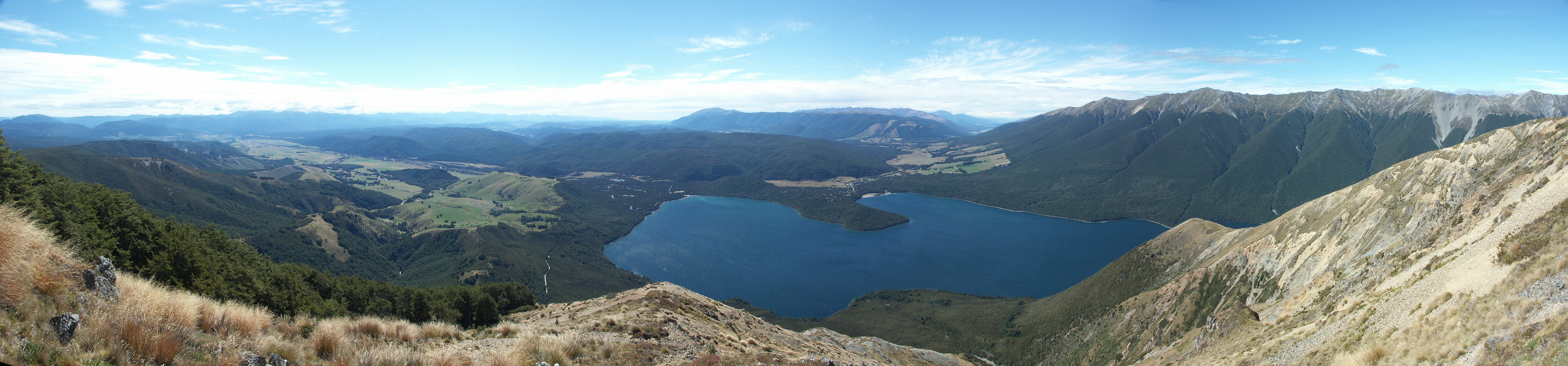
It was formed in 1956 and covers some 1,020 km². It is centered at two large lakes, Rotoiti and Rotoroa. The park also includes surrounding valleys (including Travers, Sabine, and D'Urville, upper reaches of the Matakitaki) and mountain ranges (Saint Arnaud Range, Mount Robert). The park is a popular area for camping, tramping and fishing.
The park is administered by the Department of Conservation who operate a Visitors Centre in Saint Arnaud that provides up to date and reliable information on all aspects of the National Park.
Contents
Access to the Park
The main access point to Nelson Lakes National Park is at Lake Rotoiti and the village of Saint Arnaud, on Highway 63, about 100 kilometres from both Nelson and Blenheim. A secondary access point is at Lake Rotoroa, turning off New Zealand State Highway 6 at Gowanbridge. Shuttle services operate between St Arnaud, Nelson, Blenheim and Picton.
Activities
The main campgrounds are on the shores of Lake Rotoiti; there is a smaller campground at Lake Rotoroa.
There is a network of tramping tracks throughout the park. Tracks range from short nature walks at Lake Rotoiti and Lake Rotorua, to multi-day backcountry tramps. Day tramps include the Lake Rotoiti circuit, St. Arnaud Range and Mt. Robert. The most popular long-distance tramping routes are the Travers-Sabine Circuit and other loops through Lake Angelus.
The skifield on Mt. Robert is no longer operational. Rainbow Ski Area is located on the eastern side of the St Arnaud range, just outside the park.
Other activities include mountaineering, boating and fishing, and mountain biking. See the DOC web site for more information.
Rotoiti Mainland Island
The Rotoiti Mainland Island consists of 825 hectares of beech forest around Lake Rotoiti. The project aims to eliminate introduced pests such as stoats, possums, wasps and rodents, and allow recovery of the forests and native wildlife populations.

See also
External links
- Department of Conservation information on Nelson Lakes National Park
- Rotoiti Mainland Island
- Skylark Productions' photographic tour of Nelson Lakes National Park
- A collection of Nelson Lakes tramping trip reports.
- Friends of Rotoiti - pest control group of volunteers.
National parks of New Zealand North Island South Island Abel Tasman · Aoraki/Mount Cook · Arthur's Pass · Fiordland · Kahurangi · Mount Aspiring · Nelson Lakes · Paparoa · WestlandStewart Island Categories:- IUCN Category II
- Protected area stubs
- Nelson and Tasman Region geography stubs
- National parks of New Zealand
- Tasman Region
- Protected areas established in 1956

Wikimedia Foundation. 2010.