- Mount Tyrwhitt
-
Mount Tyrwhitt 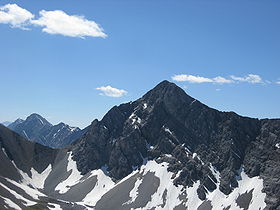
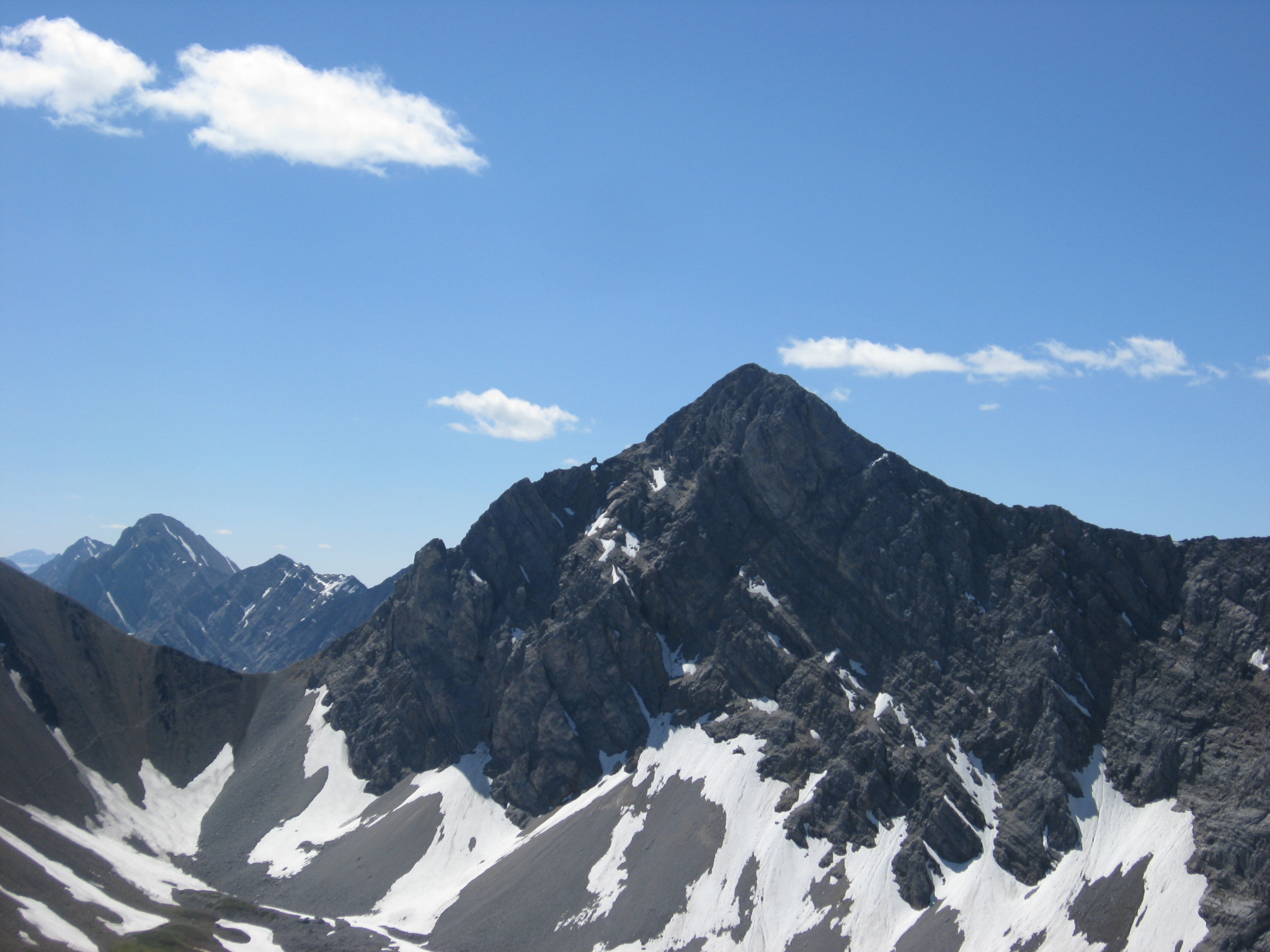
Mount Tyrwhitt's north face with Grizzly col to the leftElevation 2,874 m (9,429 ft) [1] Prominence 216 m (709 ft) [2] Location Location  Alberta
  British Columbia
  Canada
Range Elk Range Coordinates 50°34′50″N 115°01′00″W / 50.5805°N 115.0166°WCoordinates: 50°34′50″N 115°01′00″W / 50.5805°N 115.0166°W Topo map NTS 82J/10 Climbing Easiest route Scramble Mount Tyrwhitt is a mountain in British Columbia and Alberta, Canada located between Highway 40 and Elk Pass in the Elk Range of the Canadian Rockies, west of the Highwood Pass parking lot in Kananaskis Country and south east of Upper Kananaskis Lake. Located on the Continental Divide, it is also therefore on the border between British Columbia and Alberta which follows the Divide in this area.
See also
- Mountains of Alberta
- Mountains of British Columbia
- List of peaks on the British Columbia-Alberta border
References
- ^ "Mount Tyrwhitt". PeakFinder.com. http://peakfinder.com/peakfinder.asp?PeakName=Mount+Tyrwhitt. Retrieved 2007-09-10.
- ^ "Mount Tyrwhitt". Bivouac.com. http://www.bivouac.com/MtnPg.asp?MtnId=777. Retrieved 2009-01-02.
External links
Categories:- Mountains of Alberta
- Mountains of British Columbia
- Great Divide of North America
- Canadian Rockies
- Alberta geography stubs
- British Columbia Interior geography stubs
Wikimedia Foundation. 2010.