- Mount Rundle
-
Mount Rundle 
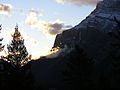
Mount Rundle as seen from Vermilion LakesElevation 2,948 m (9,672 ft) [1] Prominence 1,304 m (4,278 ft) [2] Location 
 Mount Rundle
 Alberta
  Canada
Range Canadian Rockies (South Banff Ranges/Rundle Peaks) Coordinates 51°07′27″N 115°28′13″W / 51.12417°N 115.47028°WCoordinates: 51°07′27″N 115°28′13″W / 51.12417°N 115.47028°W[2] Topo map NTS 82O/03 Climbing First ascent 1888 by J.J. McArthur Easiest route Scramble Mount Rundle is a mountain in Banff National Park overlooking the towns of Banff and Canmore, Alberta. The mountain was named by John Palliser in 1858 after Reverend Robert Rundle, who had visited the Banff area during the 1840s.[1]
Mount Rundle is formed of outcrops of massive limestones of the Rundle Group, which was named for the mountain and defined here in 1953 by R.J.W. Douglas.[3]
Mt. Rundle is one of the most popular scrambles in the area, and is relatively straightforward for experienced hikers. However, one must be careful not to follow the huge watercourse encountered about halfway up, even though a well-worn path coaxes the hiker up. There is no scrambling route along this route, as the cliffs get higher and more vertical. The real route crosses the watercourse and then immediately turns left (watch for markings). As one passes the treeline, the hiker ventures onto a feature called the "Dragon's back", where the route narrows between two steep gullies. The only real obstacle at this point is perseverance at the tread-mill like scree which slows progress to a two steps forward, one step back pattern.
Mt. Rundle could actually be considered a small mountain range as the mountain extends for over 12 kilometres (7.5 mi), with many high points along the way, ending at Whiteman's Gap above the town of Canmore. Another scramble, East End of Rundle, is accessible from its starting point at Goat Creek.
-
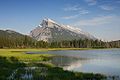
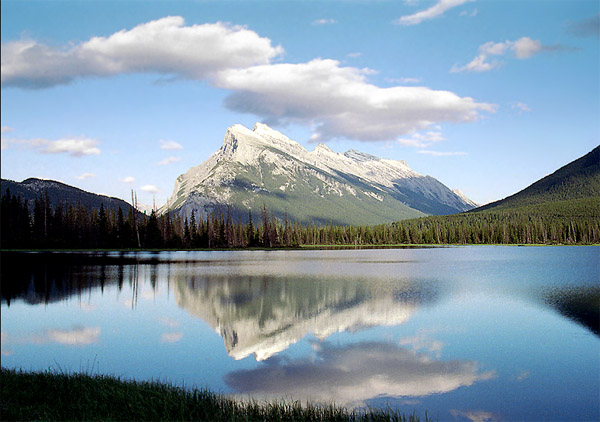
Mount Rundle seen from Vermilion Lakes
-
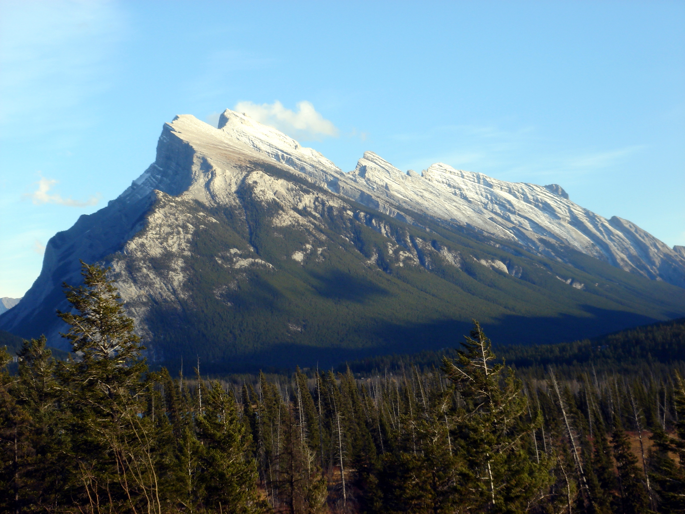
Mount Rundle seen from the Bow Valley
-

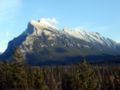
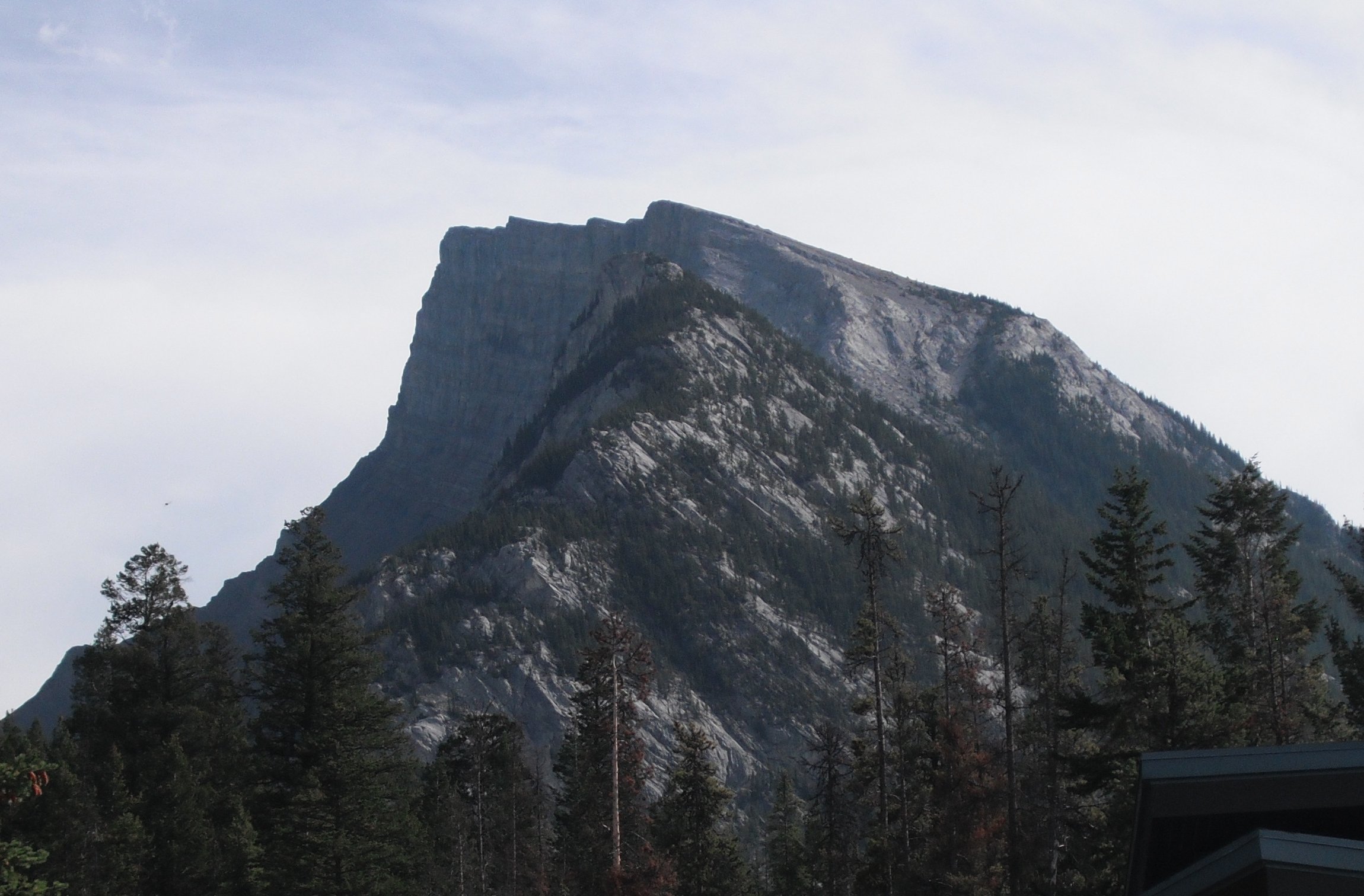
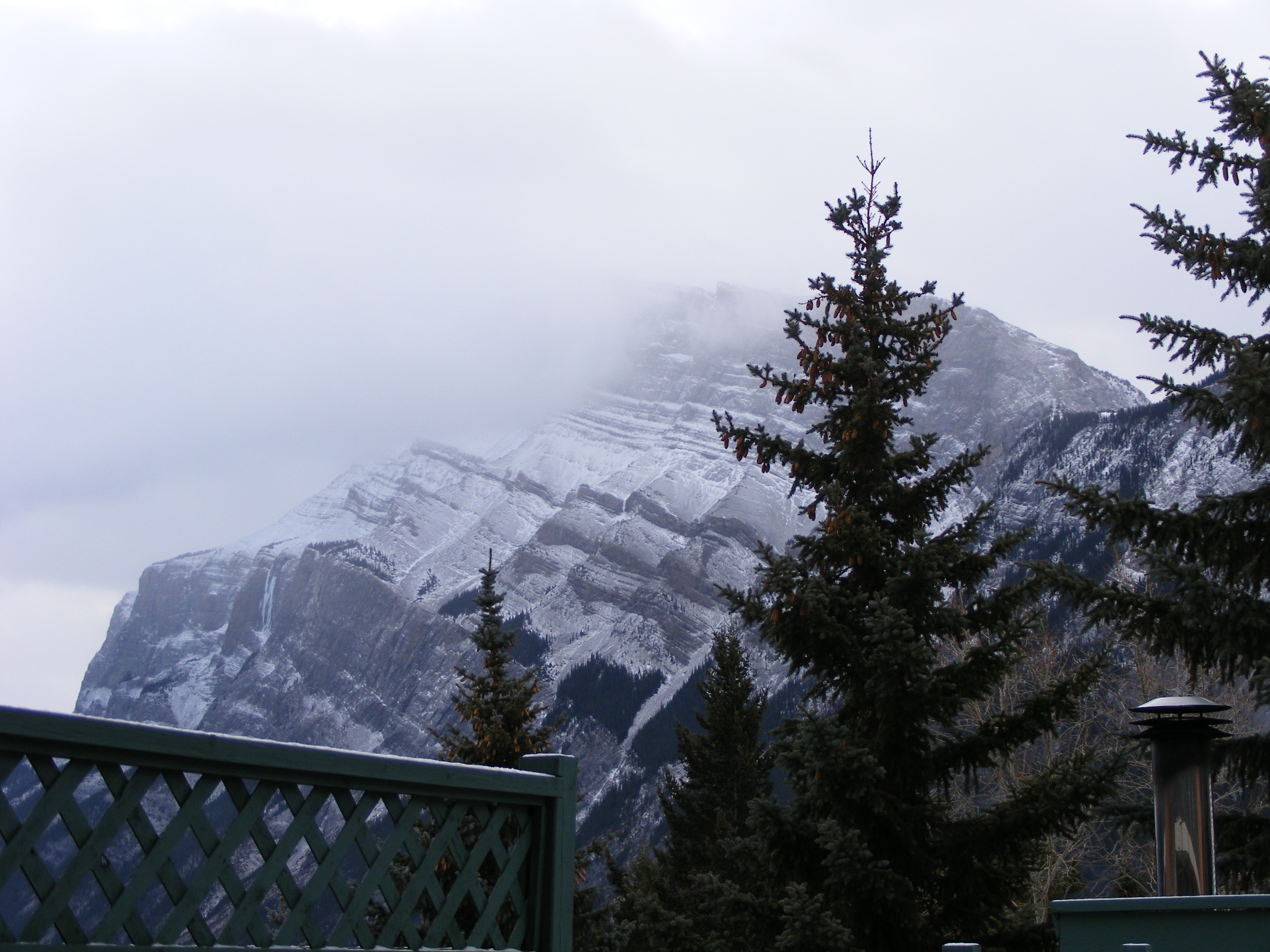
Mount Rundle, south face
-
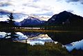
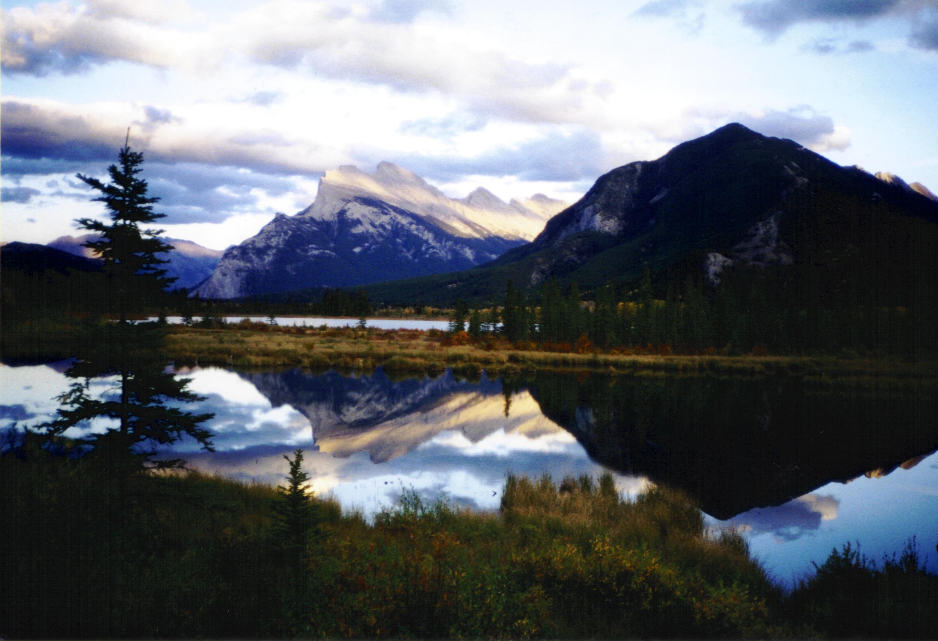
Mount Rundle reflected in the Vermilion Lakes
-

Mount Rundle as seen from Tunnel Mountain
-

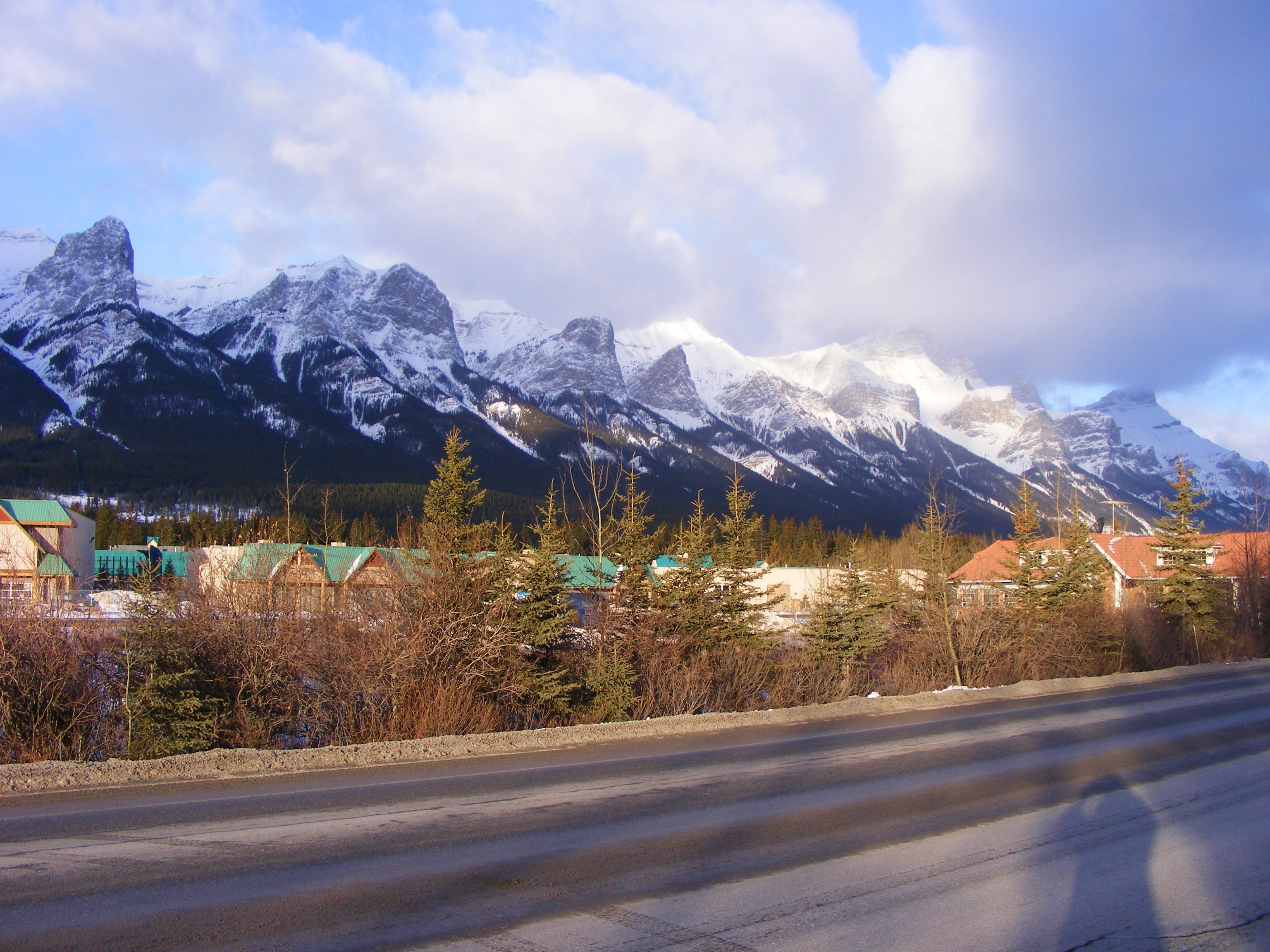
The back side of the mountain, seen from Canmore. All the peaks seen here are part of Mount Rundle.
-
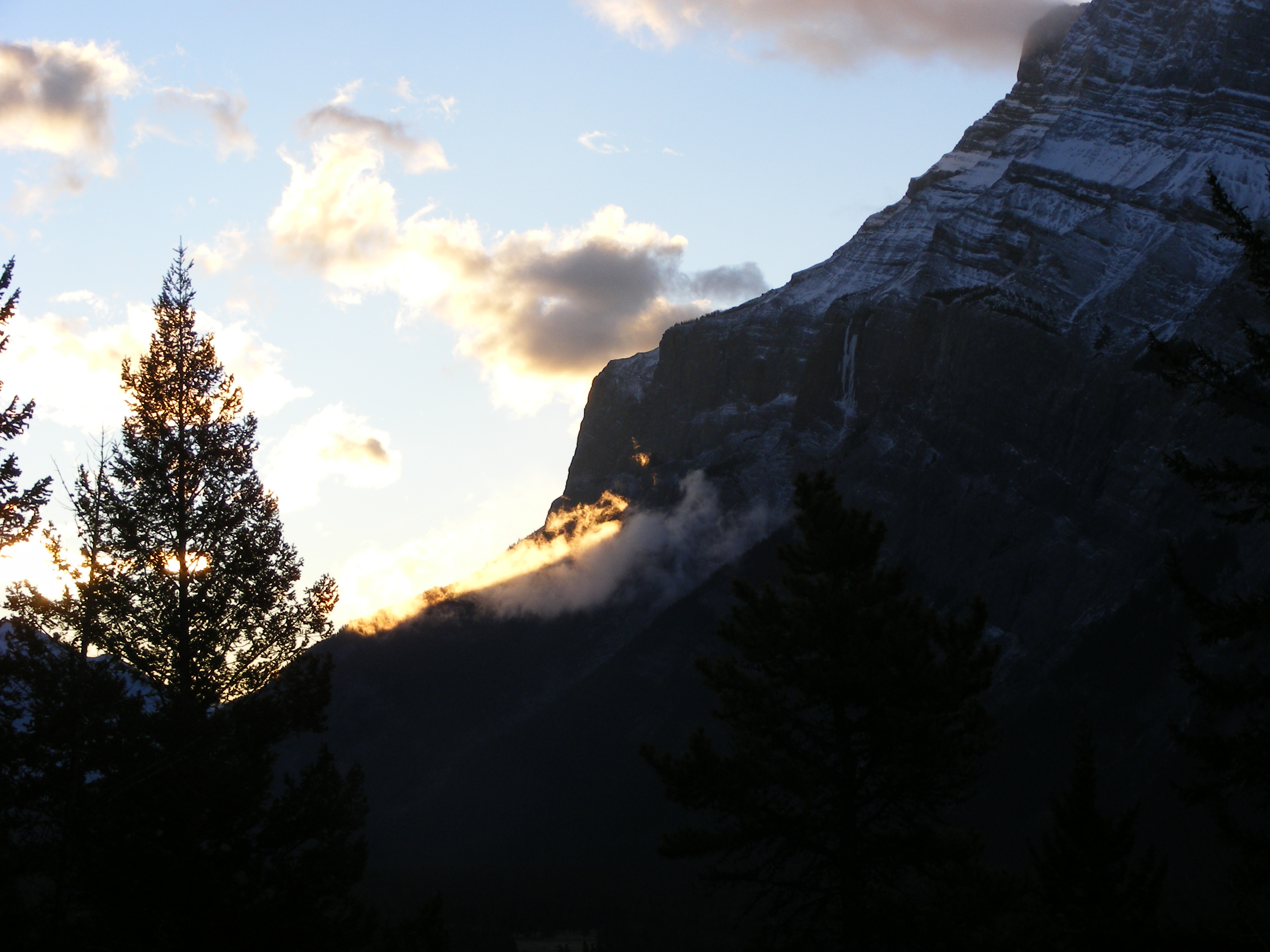
The back side of the mountain, as seen from Tunnel Mountain Road
References
- ^ a b PeakFinder. "Mount Rundle". http://www.peakfinder.com/peakfinder.ASP?PeakName=Mount+Rundle. Retrieved 2007-09-01.
- ^ a b "Mount Rundle". Bivouac.com. http://www.bivouac.com/MtnPg.asp?MtnId=1554. Retrieved 2008-10-05.
- ^ Lexicon of Canadian Geologic Units. "Rundle Group". http://cgkn1.cgkn.net/weblex/weblex_litho_detail_e.pl?00053:013065. Retrieved 2009-02-12.
External links
Categories: -


Wikimedia Foundation. 2010.