- Mount Robson Provincial Park
-
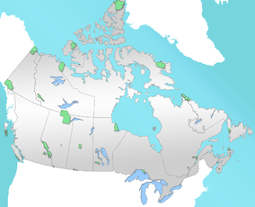
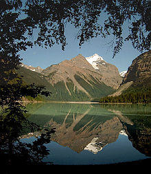
Mount Robson Provincial Park IUCN Category II (National Park)Location of Mount Robson Provincial Park in Canada Location British Columbia, Canada Nearest city Valemount, Jasper Coordinates 53°02′02″N 119°13′54″W / 53.03389°N 119.23167°WCoordinates: 53°02′02″N 119°13′54″W / 53.03389°N 119.23167°W Area 2,249 km² Established 1913 Governing body BC Parks Mount Robson Provincial Park is a large provincial park in the Canadian Rockies with an area of 2,249 km². The park is located entirely within British Columbia, bordering Jasper National Park in Alberta. The B.C. legislature created the park in 1913, the same year as the first ascent of Mount Robson by a party led by Conrad Kain. The park is named for Mount Robson, which has the highest point in the Canadian Rockies and is located entirely within the park.
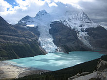
The first recreational trail was built in 1913 by Jasper outfitter Donald "Curly" Phillips along the Robson River to Berg Lake.
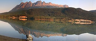
From May to September, a visitor centre is open just south of the Mt. Robson Viewpoint on the Yellowhead Highway. The only services within the park are at a combination coffee-shop gas station complex at the Viewpoint.
To reach the park, follow the Yellowhead Highway 390 kilometres west of Edmonton or 290 kilometres east of Prince George.
World Heritage Site
Mount Robson Park was declared a UNESCO World Heritage Site in 1984, together with the other national and provincial parks that form the Canadian Rocky Mountain Parks, for the mountain landscapes containing mountain peaks, glaciers, lakes, waterfalls, canyons and limestone caves as well as fossils found here.
See also
- List of British Columbia Provincial Parks
- List of Canadian provincial parks
- List of National Parks of Canada
- List of World Heritage Sites in the Americas
External links
- BC Parks - Mount Robson Provincial Park website
- UN database entry
 World Heritage Sites in Canada
Western Canadian Rocky Mountain Parks · Dinosaur Provincial Park · Head-Smashed-In Buffalo Jump · Kluane-Wrangell-St. Elias-Glacier Bay-Tatshenshini-Alsek1 · SGaang Gwaay · Waterton Glacier International Peace Park1 · Wood Buffalo2Eastern Northern Tentative List Áísínai'pi · Atikaki / Woodland Caribou / Accord First Nations · Grand-Pré · Gwaii Haanas · Ivvavik / Vuntut / Herschel Island (Qikiqtaruk) · Mistaken Point · Quttinirpaaq · Red Bay · The Klondike1 Shared with the USA · 2 Shared with other region/s Categories:- IUCN Category II
- Parks in the Canadian Rockies
- Provincial Parks of British Columbia
- Robson Valley
Wikimedia Foundation. 2010.


