- Quttinirpaaq National Park
Infobox_protected_area|name=Quttinirpaaq National Park
iucn_category=II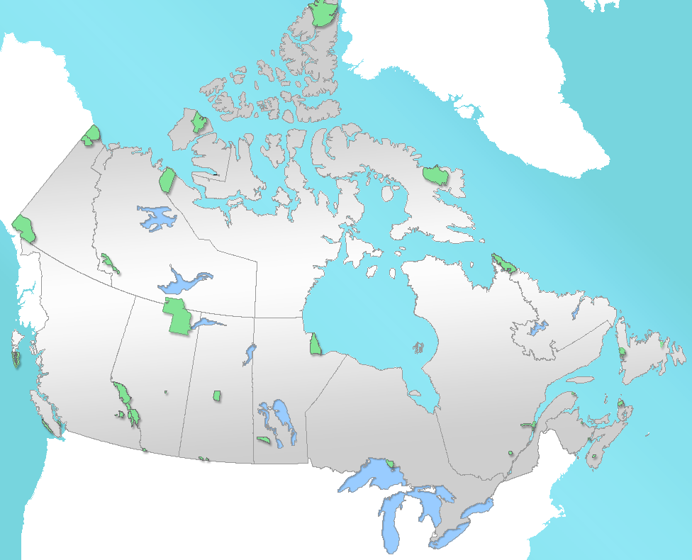
caption=Location of "Quttinirpaaq National Park" inCanada
locator_x=131
locator_y=0
location=Nunavut ,Canada
nearest_city=Resolute
lat_degrees=81
lat_minutes=33
lat_seconds=50
lat_direction=N
long_degrees=68
long_minutes=25
long_seconds=17
long_direction=W
area=37,775 km²
established=1986
visitation_num=
visitation_year=
governing_body=Parks Canada Quttinirpaaq National Park is a Canadian national park. Located on the northeastern corner of
Ellesmere Island in theQikiqtaaluk Region ofNunavut , the most northerly extent of Canada, it is the second most northerly park on Earth afterNortheast Greenland National Park . InInuktitut , Quttinirpaaq means "top of the world". It was established as Ellesmere Island National Park Reserve in 1988, and the name was changed to Quttinirpaaq in 1999, [ [http://www.thecanadianencyclopedia.com/index.cfm?PgNm=TCE&Params=A1ARTA0010119 The Canadian Encyclopedia] ] when Nunavut was created, and became a national park in 2000. [http://www.newparksnorth.org/regions/Auyuittuq.htm New Parks North] ] The land here is dominated by rock and ice. It is apolar desert with very little annual precipitation and many of theglacier s here are remnants from the last episode of glaciation. The reserve covers convert|37775|km²|0|abbr=on, making it the second largest park in Canada, afterWood Buffalo National Park . Some wildlife, includingArctic Hare ,Peary Caribou , andMuskox en live in the park, but sparse vegetation and low temperatures support only small populations. Plant and animal life is heavily concentrated in theLake Hazen region, which due to its sheltered location has a milder climate than the surroundingplateau s.Much of the highlands of the reserve accumulate
snow that typically does not melt in the summer, but instead compacts into ice and flows down glaciers and into theArctic Ocean . In many instances, this occurs in the form of land-based glaciers, which terminate before reaching water, with ice melting into lakes or streams as it drains away. Glaciologists can monitor these glaciers for signs that their ends (termini) are retreating, a possible indicator of regional climate warming. In other instances, the glaciers reach the sea and flow out over the water, breaking apart asiceberg s. Such glaciers are known as tidewater glaciers. In these glaciers, the terminus can retreat suddenly and may not reflect short-term regional climate change. Their movement is driven by complex processes related to the thickness of the ice and the depth of the water.The park includes
Barbeau Peak , which at convert|2616|m|abbr=on|0 is the highest mountain in Nunavut.Parks Canada , which is responsible for the area, operates theTanquary Fiord Airport , which, via Resolute, is one of the main access points for tourists who visit the area. [ [http://www.pc.gc.ca/pn-np/nu/quttinirpaaq/visit/visit2_e.asp To Get to Quttinirpaaq National Park - Parks Canada] ]Gallery
ee also
*
List of National Parks of Canada
*List of Nunavut parks
*Arctic Cordillera References
External links
* [http://earthobservatory.nasa.gov/Newsroom/NewImages/images.php3?img_id=16341 NASA Earth Observatory page]
* [http://www.pc.gc.ca/pn-np/nu/quttinirpaaq/index_E.asp Parks Canada]
Wikimedia Foundation. 2010.