- North Carolina Highway 27
-
NC 27
Route information Maintained by NCDOT Length: 198 mi[1] (319 km) Existed: 1922 – present Major junctions West end:  NC 10 near Toluca
 US 321 in Lincolnton
 I-485 in Charlotte
 I-85 in Charlotte

 I-77 / US 21 in Charlotte

 I-277 / NC 16 in Charlotte
 US 74 in Charlotte


 I-73 / I-74 / US 220 in Biscoe
East end: 

 US 301 / NC 50 / NC 242 in Benson
Location Counties: Cleveland, Lincoln, Gaston, Mecklenburg, Cabarrus, Stanly, Montgomery, Moore, Harnett, Johnston Highway system ←  I-26
I-26NC 28  →
→North Carolina Highway 27 is a primary state highway in the state of North Carolina. The route traverses 198 miles (319 km) through southern and central North Carolina, about 100 miles (160 km) of it as a concurrency with North Carolina Highway 24.
Contents
Route description
NC 27 begins in Cleveland County near the unincorporated community of Toluca at a T-intersection with NC 10. From there it runs southeast to the city of Lincolnton. In Lincolnton, it serves as Main Street, and runs past the Lincoln County courthouse. From Lincolnton, it runs southeast again to Stanley where it follows Main Street. It enters Charlotte along Mount Holly Road, and follows several major thoroughfares through Charlotte, including Freedom Drive, Morehead Street, and Independence Boulevard.
On the east side of Charlotte, it begins its 100-mile (160 km) long concurrency with NC 24, approximately 1/2 of its total length. The two highways leave the city along Albemarle Road and remain joined until the unincorporated community of Johnsonville. Along this segment, they pass through the cities of Midland, Locust, Albemarle, Troy, Biscoe, and Carthage. They share further concurrencies with NC 109, NC 22, and US 15.
From the split with NC 24, the road runs northeast to Lillington where it follows Main Street, and leaves town as a concurrency with US 421. It passes Campbell University in Buies Creek before entering Johnston County and ending in Benson just short of I-95. NC 50 continues east of NC 27's terminus at US 301.
Junction list
County Location Mile[1] Destinations Notes Cleveland Toluca 0 NC 10 (Casar Road)NC 27 begins Lincoln 0.7  NC 18 (Fallston Road) – Shelby, Morganton
4  NC 274 south – Flay
Lincolnton 15  NC 182 west – Fallston, Lawndale
17 


 US 321 Bus. / NC 150 west (Generals Boulevard) – Cherryville, Gastonia, Shelby, Maiden
West end of NC 150 overlap 18 US 321 – Dallas, Gastonia, HickoryBoger City 19 NC 150 eastEast end of NC 150 overlap 21  NC 73 east – Lowesville
Gaston Stanley 30  NC 275 west (Chestnut Street) – Dallas, Gastonia
Mount Holly 37  NC 273 (Highland Street) – Belmont
Mecklenburg Charlotte 40 I-485 – Pineville, Huntersville45 I-85 – Spartanburg, Greensboro47  To I-77 south to US 21 south (Freedom Drive) / US 29 south (Morehead Street)
South end of US 29 overlap 47.5 I-77 north / US 21 north – Statesville48  US 29 north (Mint Street) / NC 49 north
North end of US 29 & NC 49 overlap 48.3 NC 49 south (South Tryon Street)South end of NC 49 overlap 50 To I-277 to NC 16 / US 74 west (Independence Boulevard)Eastbound exit and westbound entrance; west end of US 74 overlap NC 24 overlaps with US 74 (exits 243 to 246) 54 US 74 east (Independence Boulevard) – MonroeWestbound exit and eastbound entrance; east end of US 74 overlap 56  NC 24 west (WT Harris Boulevard)
West end of NC 24 overlap Mint Hill 61 I-485 – Pineville, Concord62.5  NC 51 south (Blair Road)
Cabarrus Midland 70  US 601 – Monroe, Concord
Stanly Locust 75  NC 200 – Stanfield, Monroe, Concord
Red Cross 79  NC 205 south – Oakboro
Albemarle 89.5 
 US 52 north / NC 73 west / NC 138 south
North end of US 52 overlap and west end of NC 73 overlap 90
US 52 south / US 52 Bus. – Norwood, WadesboroSouth end of US 52 overlap 92  NC 740 north – Badin
Montgomery 98 NC 73 east – Mount GileadEast end of NC 73 overlap; enter Uwharrie National Forest 106  NC 109 south – Mount Gilead
South end of NC 109 overlap Troy 109
NC 109 north / NC 109 Bus. – DentonNorth end of NC 109 overlap; south end of NC 109 Business overlap 110
 NC 134 north / NC 109 Bus. north (Main Street)
North end of NC 109 Business overlap Biscoe 116 
US 220 Alt. (Main Street)117 I-73 / I-74 / US 220 – Rockingham, AsheboroMoore 129  NC 705 – Robbins
134  NC 22 north – Ramseur, Greensboro
North end of NC 22 overlap Carthage 139 NC 22 south (McNeill Street)South end of NC 22 overlap 140 
 US 15 south / US 501 south – Pinehurst, Aberdeen
South end of US 15 & 501 overlap 142 US 15 north / US 501 north – SanfordNorth end of US 15 & 501 overlap Cameron 149
 To US 1 Bus. south – Southern Pines
151 US 1 – Southern Pines, SanfordHarnett Johnsonville 159 NC 24 east – FayettevilleEast end of NC 24 overlap Pineview 161  NC 87 – Fayetteville, Sanford
Lillington 179 
 US 401 south / NC 210 south (Main Street) – Fayetteville
South end of US 401 and NC 210 overlap 180  US 421 north (Front Street) – Sanford
North end of US 421 overlap 181 US 401 north (Cornelius Harnett Boulevard) / NC 210 north (Main Street) – Fuquay-VarinaNorth end of US 401 and NC 210 overlap 186 US 421 south (Paul Green Memorial Highway) – DunnSouth end of US 421 overlap; Harnett County Airport at intersection Coats 190  NC 55 (McKinley Street) – Erwin, Angler
Johnston Benson 197 NC 50 north – GarnerNorth end of NC 50 overlap 198 US 301 (Wall Street) / NC 50 south / NC 242 south (Main Street) – Dunn, SmithfieldNC 27 ends History
NC 27 was one of North Carolina's original 1922 state highways.[2] Its original routing connected Charlotte to Lincolnton. It used several different streets through Charlotte, but followed roughly the same route. The road was extended several times:
- 1923: east to Albemarle
- 1928: west to Toluca (current terminus)
- 1934: east to Carthage (using the concurrency with NC 24)
- 1948-50: east to Cameron
- 1958: east to Benson (current terminus)
NC 27 has had a tumultuous history through Charlotte. It has always served as a major east–west route through the city, but it has been rerouted numerous times on different city streets as traffic patterns changed. All of the following roads have carried NC 27 at one time or another:
- Rozelles Ferry Rd. (1923–1936)
- Mount Holly Road (1923–present)
- Trade St.(1923-?)
- Hawthorne Lane(1924–1936)
- Central Ave.(1924–1955)
- Albemarle Rd.(1924–present)
- Mint St.(1936–1946)
- Moorhead St. (1936–present)
- Thrift Rd.(1936–1946)
- McDowell St. (1946–1955)
- Independence Blvd. (1955–present)
- Freedom Dr. (?-Present)
Photo gallery
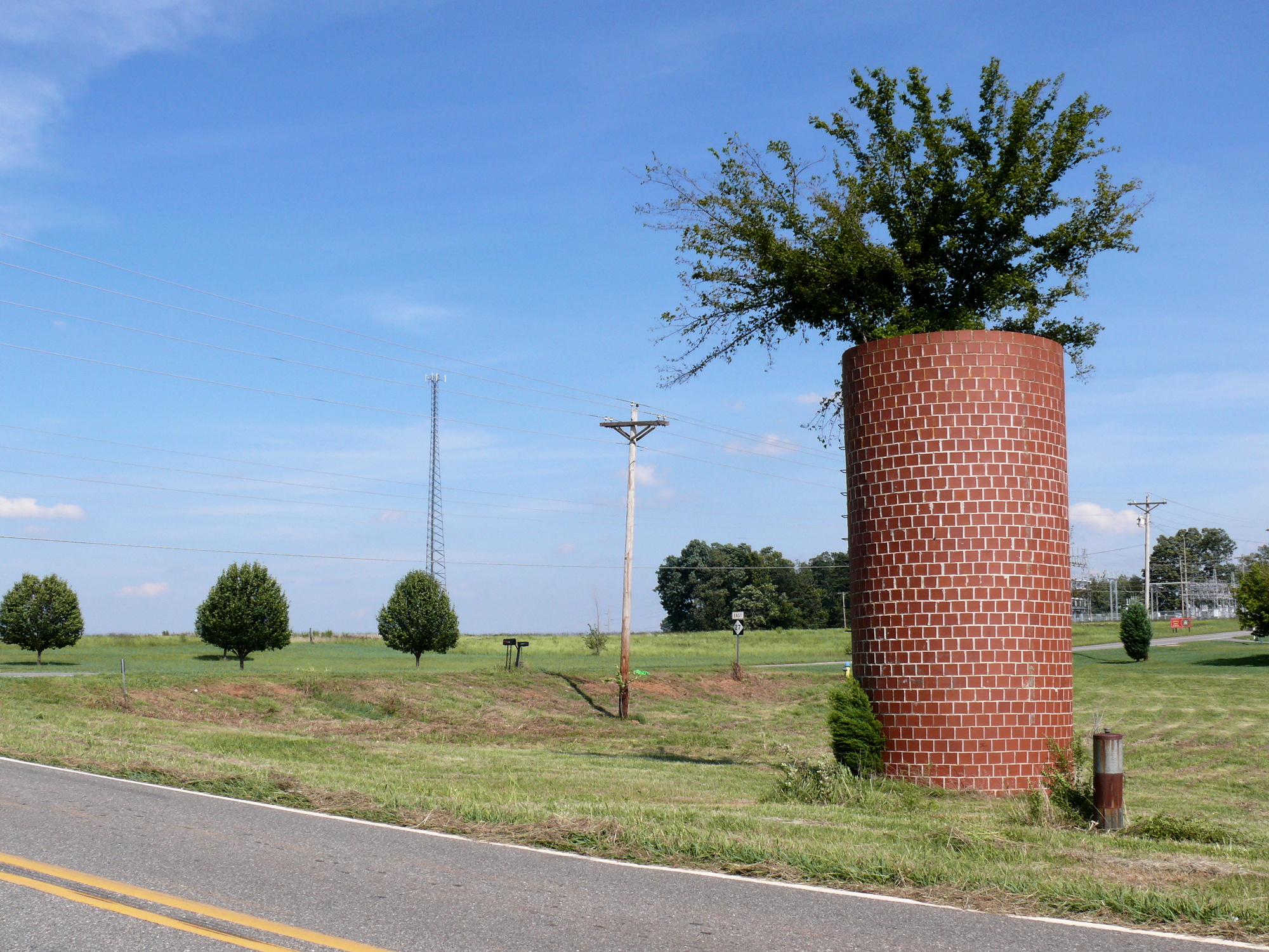
-
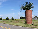
NC 27, west of Lincolnton.
See also
- North Carolina Bicycle Route 6
- Reed Gold Mine
- Uwharrie National Forest
References
- ^ a b Google, Inc. Google Maps – NC 27 (Map). Cartography by Google, Inc. http://maps.google.com/maps?f=d&source=s_d&saddr=N+Carolina+10+E%2FCasar+Rd&daddr=35.3373681,-81.0701279+to:35.24141,-80.88796+to:35.2190983,-80.8366953+to:35.2197914,-80.8280137+to:35.31555,-79.98035+to:35.33671,-79.0209+to:W+Main+St&hl=en&geocode=FYRWHgIdPiAk-w%3BFZg0GwId0fcq-ymdQTCS47tWiDEJkADk_lvsSw%3BFcK9GQIdaL8t-ymFb8bs8qFWiDFdOWKa7zXf7Q%3BFZpmGQIdqYcu-ylpPmK7IKBWiDFmT3JfmTz6tQ%3BFU9pGQIdk6ku-ym_KAhdHqBWiDEdO4GCmNOv3Q%3BFV7fGgIdwpg7-yl9fX_cZ49UiDGYwrbgimuAKQ%3BFQYyGwIdnDxK-yl9qGYSA16riTHK2lJ3CQijPw%3BFfDiGwIdKnBR-w&mra=dpe&mrcr=0&mrsp=4&sz=16&via=1,2,3,4,5,6&sll=35.219241,-80.826545&sspn=0.013095,0.027874&ie=UTF8&ll=35.404722,-80.079346&spn=1.672245,3.56781&z=9. Retrieved 2011-02-05.
- ^ NCRoads.com Annex: N.C. 25 to 29
External links
Categories:- State highways in North Carolina
- Transportation in Charlotte, North Carolina
- Transportation in Cleveland County, North Carolina
- Transportation in Lincoln County, North Carolina
- Transportation in Gaston County, North Carolina
- Transportation in Mecklenburg County, North Carolina
- Transportation in Cabarrus County, North Carolina
- Transportation in Stanly County, North Carolina
- Transportation in Montgomery County, North Carolina
- Transportation in Moore County, North Carolina
- Transportation in Harnett County, North Carolina
- Transportation in Johnston County, North Carolina

Wikimedia Foundation. 2010.