- Denton, North Carolina
-
Denton, North Carolina — Town — Location of Denton, North Carolina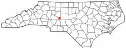
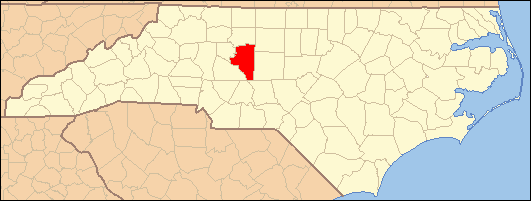
Coordinates: 35°37′58″N 80°6′42″W / 35.63278°N 80.11167°WCoordinates: 35°37′58″N 80°6′42″W / 35.63278°N 80.11167°W Country United States State North Carolina County Davidson Area – Total 1.8 sq mi (4.6 km2) – Land 1.8 sq mi (4.6 km2) – Water 0.0 sq mi (0.0 km2) Elevation 722 ft (220 m) Population (2000) – Total 1,450 – Density 821.5/sq mi (317.2/km2) Time zone Eastern (EST) (UTC-5) – Summer (DST) EDT (UTC-4) ZIP code 27239 Area code(s) 336 FIPS code 37-16980[1] GNIS feature ID 1019952[2] Website www.denton-nc.us Denton is a town in Davidson County, North Carolina, United States. The population was 1,450 at the 2000 census.
Contents
Geography
Denton is located at 35°37′58″N 80°6′42″W / 35.63278°N 80.11167°W (35.632752, -80.111603)[3].The highest elevation In Davidson county
According to the United States Census Bureau, the town has a total area of 1.8 square miles (4.6 km²), of which, 1.8 square miles (4.6 km²) of it is land and 0.56% is water.
Demographics
As of the census[1] of 2000, there were 1,450 people, 595 households, and 411 families residing in the town. The population density was 821.5 people per square mile (316.3/km²). There were 651 housing units at an average density of 368.8 per square mile (142.0/km²). The racial makeup of the town was 98.07% White, 0.62% African American, 0.34% Asian, 0.34% from other races, and 0.62% from two or more races. Hispanic or Latino of any race were 2.00% of the population.
There were 595 households out of which 34.1% had children under the age of 18 living with them, 51.8% were married couples living together, 11.8% had a female householder with no husband present, and 30.9% were non-families. 26.2% of all households were made up of individuals and 11.9% had someone living alone who was 65 years of age or older. The average household size was 2.44 and the average family size was 2.89.
In the town the population was spread out with 25.9% under the age of 18, 6.6% from 18 to 24, 33.3% from 25 to 44, 19.7% from 45 to 64, and 14.4% who were 65 years of age or older. The median age was 36 years. For every 100 females there were 90.8 males. For every 100 females age 18 and over, there were 88.1 males.
The median income for a household in the town was $30,950, and the median income for a family was $40,375. Males had a median income of $28,571 versus $21,354 for females. The per capita income for the town was $19,439. About 11.2% of families and 14.4% of the population were below the poverty line, including 23.1% of those under age 18 and 10.5% of those age 65 or over.
History
The founding of Denton may be dated from the time the place acquired a post office, began to be called "Denton" and ceased to be "Finch's Cross Road." The General Assembly passed a bill incorporating the town of Denton March 11, 1907. Town had its first mayor in 1907 J.E. Varner with B.I. Harrison , Arthur E. Davis , J.M. Daniel , L.A. Newsom and Jesse C. Morris as town commissioners. Abel Anderson was the town physician and John F. Carroll as the chief of police. more history of Denton
References
- ^ a b "American FactFinder". United States Census Bureau. http://factfinder.census.gov. Retrieved 2008-01-31.
- ^ "US Board on Geographic Names". United States Geological Survey. 2007-10-25. http://geonames.usgs.gov. Retrieved 2008-01-31.
- ^ "US Gazetteer files: 2010, 2000, and 1990". United States Census Bureau. 2011-02-12. http://www.census.gov/geo/www/gazetteer/gazette.html. Retrieved 2011-04-23.
External links
- Official website
- Denton Area Chamber of Commerce
- Denton NC Unofficial site, History, Photos and Centennial site
Municipalities and communities of Davidson County, North Carolina Cities High Point‡ | Lexington | Thomasville‡

Towns CDP Unincorporated
communitiesArcadia | Bethesda | Churchland | Linwood | Montclair | Reeds | Silver Valley | Southmont | Tyro | Yadkin College
Footnotes ‡This populated place also has portions in an adjacent county or counties
Categories:- Populated places in Davidson County, North Carolina
- Towns in North Carolina
- Populated places established in 1907

Wikimedia Foundation. 2010.