- North Carolina Highway 705
-
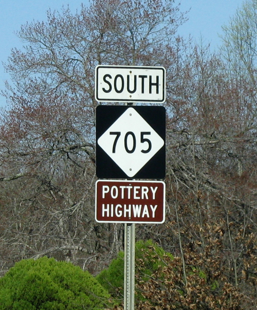
NC 705
Route information Maintained by NCDOT Length: 26 mi (42 km) Existed: 1931 – present Major junctions North end: 

 I-73 / I-74 / US 220 near Seagrove


US 220 Alt. in Seagrove
 NC 24 / NC 27 south of Robbins
South end:  NC 211 near Eagle Springs
Location Counties: Randolph, Moore Highway system ←  NC 704
NC 710  →
→NC 705 is a state highway in central North Carolina; it travels mostly through the southern Piedmont Triad. The route is marked as the Pottery Highway or Pottery Road and as a North Carolina Scenic Byway[1] due to the large number of potters in and surrounding Seagrove.
Contents
Route
Randolph County
NC 705 begins at a northern terminus near Seagrove, North Carolina at I-73/I-74US 220 exit 45. It passes through Seagrove, crossing US 220 Alternate. The highway travels southeasterly in Randolph County where it passes through the community of Whynot southeast of Seagrove.
Moore County
The route passes into Moore County just north of the communities of Dover and Westmoore. It continues southwesterly through Robbins, North Carolina where it junctions with NC 24/NC 27 just south of Robbins at the community of Garners Store. From the junction, the route turns southeasterly and continues through the community of Zion Grove until it ends in the community of Elberta near Eagle Springs, North Carolina.
Pottery Road
 NC Hwy 705 Pottery Highway
The route takes the traveler through historic areas of North Carolina which have been making and selling hand-turned or "hand-thrown" pottery since the eighteenth century[2]. The area potters specialize in traditional functional pottery as well as artistic pottery.
The Cole, Potts, King, Auman, Owen, McNeill, Teague, and Albright families are eighth- and ninth-generation potters in Seagrove and the surrounding areas.
Some of the oldest, historic pottery locations still in operation include the "Original" Owens Pottery founded in 1895[3] and Jugtown Pottery founded in 1921[4]. Jugtown is listed on the National Register of Historic Places.
Plank Road
Portions of the route are part of the Fayetteville and Western Plank Road connecting the city of Fayetteville, North Carolina with Moravian settlements near Bethania, North Carolina (northwest of Winston-Salem).
External links
- Follow 'Pottery Highway' into Carolina haven steeped in clay
- NC Roads - NC 705
- Official Seagrove Area Visitor Information
References
- ^ National Scenic Byways Online. "Pottery Road - Overview". http://www.byways.org/explore/byways/12839/. Retrieved 2006-12-29.
- ^ SAPA - Learn more about the history of Seagrove, NC and its North Carolina potters
- ^ Tradition and Modernity: The Potters of Seagrove, North Carolina
- ^ Encyclopedia of North Carolina :: UNC Press
Categories:- American potters
- Transportation in Moore County, North Carolina
- Transportation in Randolph County, North Carolina
- State highways in North Carolina
- North Carolina road stubs

Wikimedia Foundation. 2010.