- Calbuco (volcano)
-
Calbuco 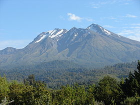
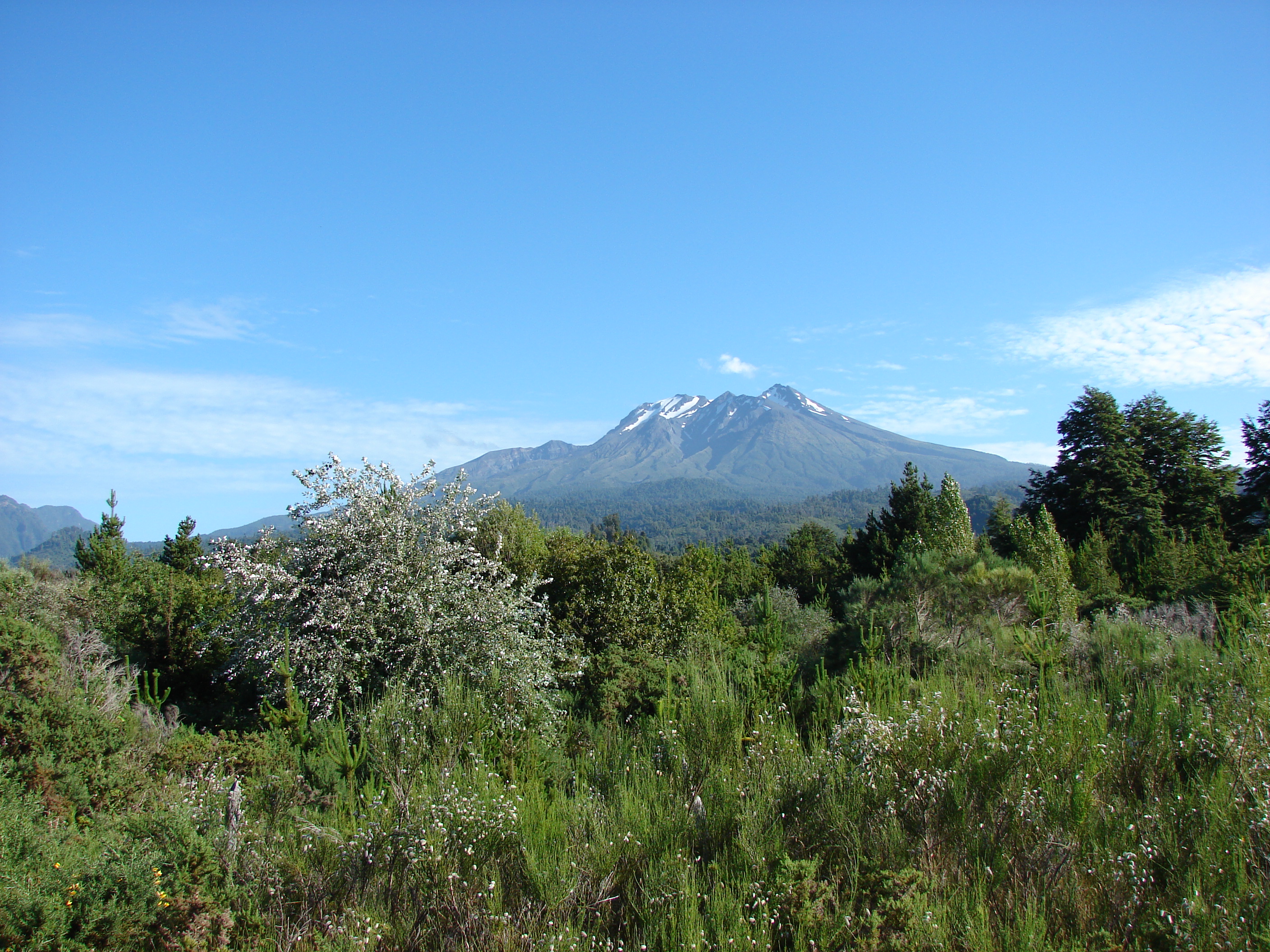
Calbuco viewed from the north alongside Road 225 on the shores of Llanquihue Lake. (11-Feb-2010)Elevation 2,003 m (6,572 ft) Location Location Chile Range Andes Coordinates 41°19′S 72°36′W / 41.32°S 72.60°W Geology Type Stratovolcano Age of rock Pleistocene Volcanic arc/belt South Volcanic Zone Last eruption 1972 Calbuco is a stratovolcano in southern Chile, located southeast of Llanquihue Lake and northwest of Chapo Lake, in the Los Lagos Region. The volcano and the surrounding area are protected within Llanquihue National Reserve. It is a very explosive andesite volcano that underwent edifice collapse in the late Pleistocene, producing a volcanic debris avalanche that reached the lake.
Contents
Volcanic activity
Calbuco has had at least 9 eruptions since 1837, with the latest one in 1972. One of the largest historical eruptions in southern Chile took place there in 1893–1894. Violent eruptions ejected 30-cm bombs to distances of 8 km from the crater, accompanied by voluminous hot lahars. Strong explosions occurred in April 1917, and a lava dome formed in the crater accompanied by hot lahars. Another short explosive eruption in January 1929 also included an apparent pyroclastic flow and a lava flow. The last major eruption of Calbuco, in 1961, sent ash columns 12–15 km high and produced plumes that dispersed mainly to the SE and two lava flows were also emitted. There was a minor, 4-hour eruption on August 26, 1972. Strong fumarolic emission from the main crater was observed on August 12, 1996.
Gallery
-
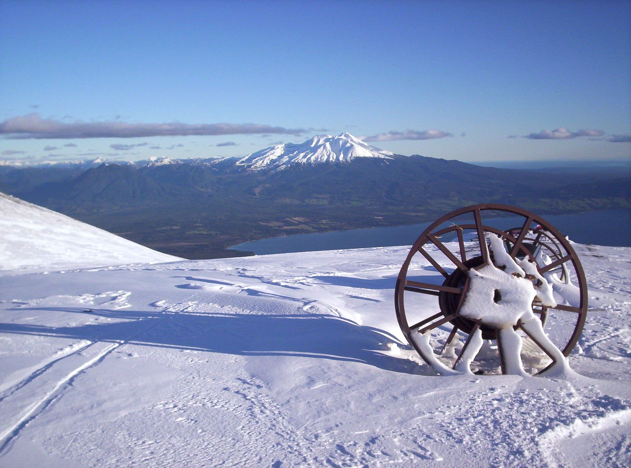
Calbuco viewed from the north alongside Road 225 on the shores of Llanquihue Lake. (11-Feb-2010)
-
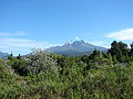
From Osorno volcano. (28-Jul-2006)
See also
References
- González-Ferrán, Oscar (1995). Volcanes de Chile. Santiago, Chile: Instituto Geográfico Militar. p. 640 pp. ISBN 956-202-054-1. (in Spanish; also includes volcanoes of Argentina, Bolivia, and Peru)
- "Calbuco". Global Volcanism Program, Smithsonian Institution. http://www.volcano.si.edu/world/volcano.cfm?vnum=1508-02=.
- Biggar, John (2005). The Andes: A Guide for Climbers (3rd ed.). Andes Publishing (Scotland). p. 304 pp. ISBN 0-9536087-2-7. http://www.andes.org.uk/.
Andean volcanoes Northern Volcanic Zone (6° N–3° S) Nevado del Ruiz · Nevado del Huila · Galeras · Cayambe · Reventador · Pichincha · Antisana · Illiniza · Cotopaxi · Quilotoa · Tungurahua · SangayCentral Volcanic Zone (15°–27° S) Ampato · Coropuna · Sabancaya · Chachani · El Misti · Ubinas · Huaynaputina · Parinacota · Irruputuncu · Azufre · Sairecabur · Pacana · Licancabur · Lascar · Llullaillaco · Galán · San Francisco · Ojos del SaladoSouthern Volcanic Zone (33°–46° S) Tupungato · Tupungatito · Maipo · Calabozos · Descabezado Grande · Cerro Azul · Nevado de Longaví · Nevados de Chillán · Antuco · Copahue · Callaqui · Lonquimay · Llaima · Sollipulli · Villarrica · Quetrupillán · Lanín · Mocho-Choshuenco · Carrán-Los Venados · Puyehue-Cordón Caulle · Osorno · Calbuco · Hornopirén · Michinmahuida · Chaitén · Corcovado · Cay · Macá · HudsonAustral Volcanic Zone (49°–55° S) Note: volcanoes are ordered by latitude from north to southCategories:- Stratovolcanoes of Chile
- Active volcanoes
- Volcanoes of Los Lagos Region
- South Volcanic Zone
- Los Lagos Region geography stubs
-

Wikimedia Foundation. 2010.