- Chachani
-
Chachani 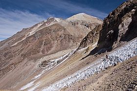
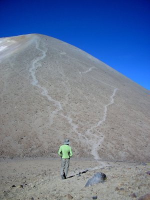
The summit (on the left) and the path leading to it in October 2007Elevation 6,095 m (19,997 ft) Prominence 1,963 m (6,440 ft) Listing Ultra Location Arequipa, Peru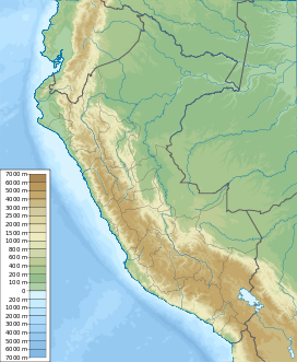
 Chachani
Range Andes Coordinates 16°11′29″S 71°31′47″W / 16.19139°S 71.52972°WCoordinates: 16°11′29″S 71°31′47″W / 16.19139°S 71.52972°W Geology Type Stratovolcano Volcanic arc/belt Central Volcanic Zone Last eruption Unknown Climbing Easiest route Scramble with possible snow/ice 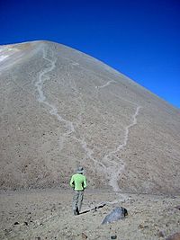
Nevado Chachani is the highest of the mountains near the city of Arequipa in southern Peru. Its name means “skirt” in Quechua, and a female character is normally attributed to the mountain in local legends.
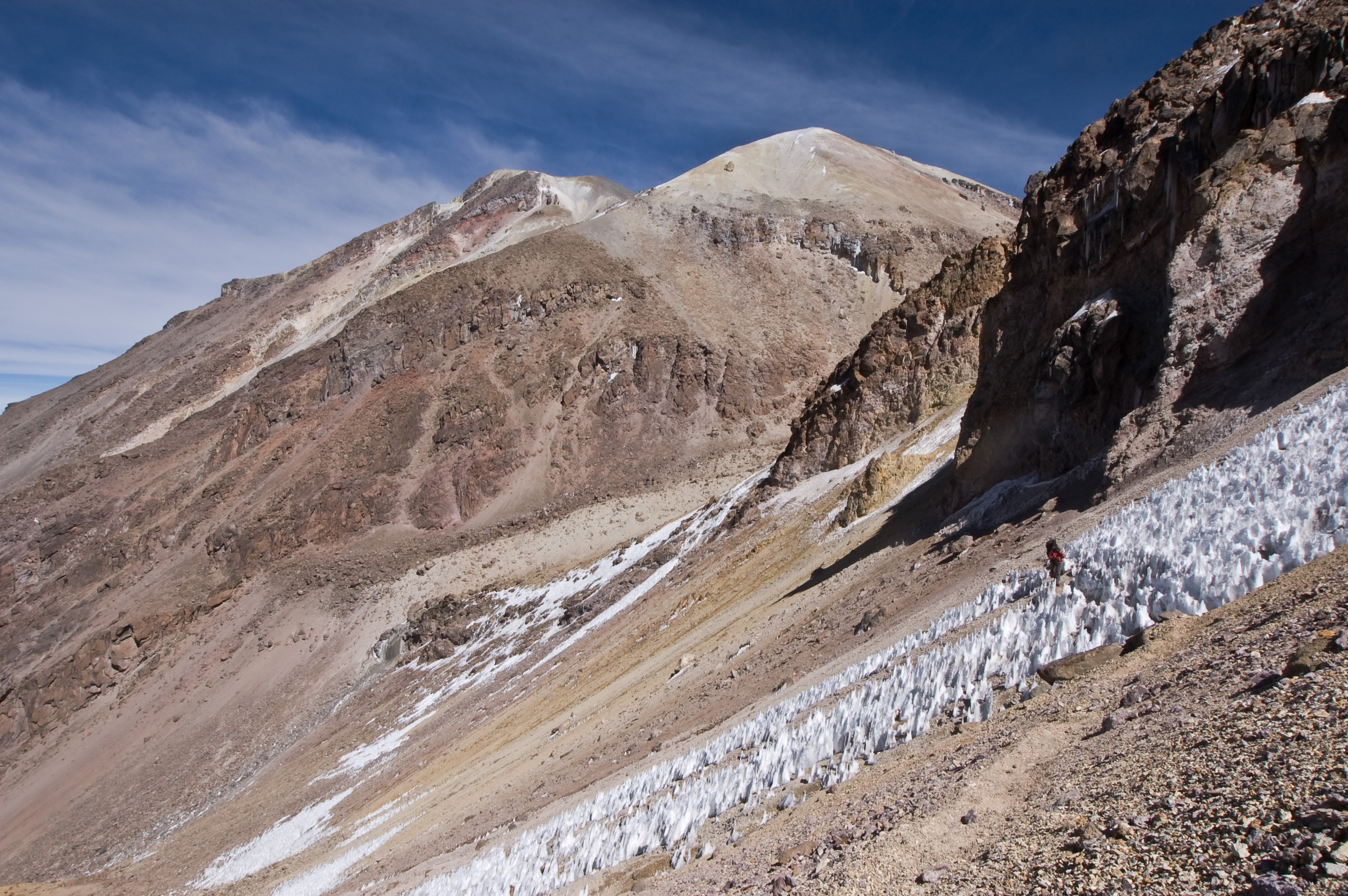
As a result of the very low precipitation in the Arequipa area, Chachani does not have a permanent ice cap or glaciers. Climbing Chachani is popular, and many tour agencies in Arequipa offer guided trips to the summit, though the altitude is considered highly challenging for those who are not fully acclimatized.
Climbing routes
The mountain is normally climbed from its northern side. The start of the trek is at a drop off point which is reached in 2.5 hours by four-wheel drive vehicle, driving west around Chachani and turning off from the main highway near Pampas Cañahuas, or heading north from Arequipa between Misti and Chachani. Base camp is at approximately 5,200 metres. There is another higher camp called Camp Azulfrera situated at about 5400 meters. The route starts of with the ascent to the Angel Col before traversing the El Angel mountain itself. Then climbers would need to ascent the face of Fatima mountain in a zig zag pattern before making another traverse on the Fatima mountain. Only then can the summit of Mount Chachani be seen. From here, climbers would need to make the final ascent on the face of Chachani all the way to the top of the mountain.
The standard route requires crampons and an ice axe, but does not require roping up, as there are no large crevasses on Chachani. Two traverses over relatively steep terrain constitute the main challenges on the way to the summit. The final push to the summit is a very steep scree slope, which provides for a fast descent back to the first traverse.
In recent years, the amount of snow on Chachani has decreased dramatically, so for many months of the year there may be little snow on the mountain. For example, in October and November of 2010, there was no snow at all, and the ascent could be made without crampons or ice axes. Climbers would need to check on the snow conditions beforehand.
Average total climb time from base camp ranges from six to nine hours, with a two to four hour descent.
See also
Chachani has been permanently covered in snow for the last 18 months, so the brief period when the snow was sporadic appears to have passed.
References
- Siebert L, Simkin T (2002-). Volcanoes of the World: an Illustrated Catalog of Holocene Volcanoes and their Eruptions. Smithsonian Institution, Global Volcanism Program Digital Information Series, GVP-3, (http://www.volcano.si.edu/world/).
- Chachani on SummitPost
External links
Andean volcanoes Northern Volcanic Zone (6° N–3° S) Nevado del Ruiz · Nevado del Huila · Galeras · Cayambe · Reventador · Pichincha · Antisana · Illiniza · Cotopaxi · Quilotoa · Tungurahua · SangayCentral Volcanic Zone (15°–27° S) Ampato · Coropuna · Sabancaya · Chachani · El Misti · Ubinas · Huaynaputina · Parinacota · Irruputuncu · Azufre · Sairecabur · Pacana · Licancabur · Lascar · Llullaillaco · Galán · San Francisco · Ojos del SaladoSouthern Volcanic Zone (33°–46° S) Tupungato · Tupungatito · Maipo · Calabozos · Descabezado Grande · Cerro Azul · Nevado de Longaví · Nevados de Chillán · Antuco · Copahue · Callaqui · Lonquimay · Llaima · Sollipulli · Villarrica · Quetrupillán · Lanín · Mocho-Choshuenco · Carrán-Los Venados · Puyehue-Cordón Caulle · Osorno · Calbuco · Hornopirén · Michinmahuida · Chaitén · Corcovado · Cay · Macá · HudsonAustral Volcanic Zone (49°–55° S) Note: volcanoes are ordered by latitude from north to south Categories:- Stratovolcanoes
- Mountains of Peru
- Volcanoes of Peru
- Arequipa Region
- Peru geography stubs

Wikimedia Foundation. 2010.