- New Jersey Route 39
-
Route 39
Route information Length: 38.89 mi[1] (62.59 km)
U.S. Route 206 portion onlyExisted: 1927 – 1953 Major junctions South end: 


 US 30 / US 206 / Route 43 / Route 54 in Hammonton
 US 130 / Route 25 in Bordentown
 US 206 / Route 37 in Hamilton Township
North end: Pennsylvania state line on the Yardley-Wilburtha Bridge in Wilburtha Location Counties: Atlantic, Burlington, Mercer Highway system New Jersey State Highway Routes
Interstate and US←  Route 38
US 40  →
→Route 39 was a major state highway in the southwestern portions of the U.S. state of New Jersey. It was fully concurrent with U.S. Route 206 from its southern terminus at U.S. Route 30/State Highway Route 43/State Highway Route 54 in Hammonton to the current-day intersection with County Route 524 in Hamilton Township. Route 39 originally continued westward, crossing the Yardley-Wilburtha Bridge in the community of Wilburtha, New Jersey near State Highway Route 29.
Route 39 was designated in the 1927 1927 state highway renumbering to a previously unnumbered highway. The route produced one spur route, Route S39, which became Route 68 in the 1953 renumbering. The Route 39 designation was removed in the 1953 renumbering to eliminate the concurrency with US 206. It was also a proposed designation for a northern beltway around Trenton; this beltway is now Interstate 295 and Interstate 95.
Contents
Route description
State Highway Route 39 was legislatively to begin at the intersection of U.S. Route 206, U.S. Route 30, State Highway Route 43 and State Highway Route 54 in the community of Hammonton, New Jersey. The route headed northward from this intersection concurrent entirely with U.S. Route 206. The route heads northward, entering Burlington County sometime after intersecting with County Route 536. The portion of Route 39 through Burlington County was entirely concurrent with U.S. Route 206, intersecting with State Highway Route 40 in the community of Southampton Township. The route headed further, intersecting with State Highway Route 38 in Southampton Township. The route continued northward, entering the community of Mansfield Township. The route continued along New York Avenue in the community of Columbus, concurrent with U.S. Route 206. Route 39 continued, intersecting with State Highway Route S-39 (the Fort Dix Access Highway), its only suffixed spur in Mansfield Township.[2]
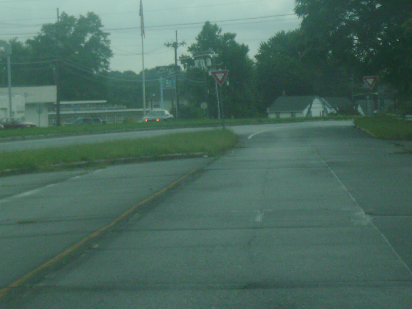
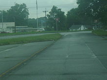 Route 160's former northern terminus at U.S. Route 206. The former alignment of U.S. Route 206 and Route 39 southbound is noticeable to the west
State Highway Route 39 continued northward, intersecting with U.S. Route 130 and State Highway Route 25 in Bordentown. The four routes (25, 39, 130 and 206) continued northward, running concurrent for less until a mile, where they forked. Routes 39 and 206 continued northward along the Mission Road before turning off and onto the straight alignment into Hamilton Township, a community outside of Trenton, the state capital. Crossing through Hamilton Township, Route 206 and Route 39 intersect with the eastern terminus of State Highway Route 37, where Route 39 turned off of U.S. Route 206. From there, State Highway Route 39 made a bypass of the state capital, running northward through Mercer County until entering the community of Wilburtha, New Jersey. From there, State Highway Route 39 intersected with State Highway Route 29 in Wilburtha and approached the Delaware River. There, it crossed the Yardley-Wilburtha Bridge over the Delaware and into Yardley, Pennsylvania.[2]
History
State Highway Route 39 was designated on a previously unnumbered highway from Hammonton to the Yardley-Wilburtha Bridge in Wilburtha during the state highway renumbering in 1927.[3] Route 39 was designated along U.S. Route 206 for most of its alignment, turning off at an intersection with former State Highway Route 37 towards Wilburtha, New Jersey, where it crossed the Yardley-Wilburtha Bridge,[3] built in 1903 to replace a former wooden covered bridge destroyed in a flood.[4] On February 24, 1961, Route 39, concurrent with U.S. Route 206, gained a state highway prefixed-spur when State Highway Route Route S-39 along the new access highway to Fort Dix.[5] Eventually, the proposed Scudders Falls Bridge was added into the highway's legislation, with the northern terminus to be adjusted to the new bridge instead of the Yardley-Wilburtha.[2] In the second state highway renumbering by the New Jersey State Highway Department in 1953, the Route 39 designation was removed in favor of U.S. Route 206. The suffixed spur, Route S-39 became New Jersey Route 68.[6] Two alignments of 39 became Route 160 and Route 170 and are now decommissioned.[7] The Yardley-Wilburtha Bridge was destroyed two years later during the afterstorm flooding from Hurricane Diane in 1955. The bridge was never replaced to its full extent.[4]
Major intersections
County Location Mile[1] Destinations Notes Atlantic Hammonton 0.00 US 30 / Route 43 (White Horse Pike) / Route 54Southern terminus of U.S. Route 206 as well Burlington Southampton Township 14.81  Route 40 (Marlton Pike)
23.48  Route 38 (South Pemberton Road)
Mansfield Township 33.64  Route S39 (Fort Dix Access Highway)
Northern terminus of State Highway Route S-39 Bordentown 35.61 US 130 / Route 25Southern terminus of overlap 36.27 US 130 / Route 25Northern terminus of overlap Mercer Hamilton Township 38.88 US 206 / Route 37Route 39 forked off of 206 here.;Western terminus of State Highway Route 37 Wilburtha  Route 29
Pennsylvania state line The Yardley-Wilburtha Bridge; Northern terminus of Route 39 1.000 mi = 1.609 km; 1.000 km = 0.621 mi See also
 U.S. Roads portal
 New Jersey portal
References
- ^ a b "US 206 Straight Line Diagram". Division of Traffic Engineering and Safety Bureau of Transportation Data Development. New Jersey Department of Transportation. 2009. http://www.state.nj.us/transportation/refdata/sldiag/00000206__-.pdf. Retrieved December 4, 2009.
- ^ a b c ROUTE NO. 39. Center of the Delaware river in the vicinity of the present Yardley bridge by passing Trenton through Bordentown to DaCosta. Beginning at a point in the center of the Delaware river on a new bridge to be constructed in the vicinity of the present Yardley bridge, thence to the New Jersey shore of the Delaware river, and running thence in a semicircular path around the city of Trenton, passing through the vicinity of Trenton Junction, Ewingville, Bakersville, Mercerville to Bordentown, Columbus, Vincentown, Red Lion, Indian Mills, Atsion and DaCosta.
- ^ a b ROUTE NO. 39. Yardley Bridge by-passing Trenton through Bordentown to Da Costa. Beginning at Yardley Bridge thence in a semi-circular path around Trenton, through vicinity of Trenton Junction, Ewingville, Bakersville, Mercerville to Bordentown, Columbus, Vincentown, Red Lion, Indian Mills, Atsion and Da Costa. L. 1927, c. 319.
- ^ a b Dale, Frank T. (2003). Bridges Over The Delaware River: A History of Crossings. Rutgers University Press. pp. 35–40. ISBN 9780813532134. http://books.google.com/books?id=dDDDUlaQUYgC&pg=PA141&lpg=PA141&dq=Shohola+-+Barryville+Bridge&source=bl&ots=WrBdXV025f&sig=X8gc-W6P1Fvj-Lr3N2gzmiXJLA0#PPA141,M1. Retrieved December 4, 2009.
- ^ ROUTE NO. S-39. Beginning on Route No. 39 at Mansfield Square and from thence to Fort Dix. L.1941, c. 13, p. 25, s. 1, effective Feb. 24, 1941.
- ^ 1953 renumbering, New Jersey Department of Highways, http://en.wikisource.org/wiki/1953_New_Jersey_state_highway_renumbering, retrieved July 31, 2009
- ^ Straight Line Diagrams. New Jersey Department of Transportation. 1980.
External links
Categories:- State highways in New Jersey
- Transportation in Atlantic County, New Jersey

Wikimedia Foundation. 2010.