- Yardley, Pennsylvania
Geobox Borough
name = Borough of Yardley
native_name =
other_name =
other_name1 =
category = Borough
image_size =
image_caption =
flag_size =
symbol =
symbol_size =
nickname =
motto =
country = United States
state = Pennsylvania
region = Bucks
region_type = County
district =
area_imperial = 1.0
area_land_imperial = 0.9
area_water_imperial = 0.1
area_water_percentage = auto
area_percentage_round = 2
area_round = 1
location =
lat_d = 40
lat_m = 14
lat_s = 29
lat_NS = N
long_d = 74
long_m = 50
long_s = 11
long_EW = W
elevation_imperial = 46
elevation_round = 1
population_as_of = 2000
population = 2498
population_density_imperial = 2729.0
population_density_round = 1
government_type =
government =
established_type = Incorporated
established =March 4 ,1895
mayor =
timezone = EST
utc_offset = -5
timezone_DST = EDT
utc_offset_DST = -4
postal_code_type =ZIP Code
postal_code = 19067
area_code = 215
area_code_type =
code2_type =
code2 =
free_type =
free =
free1_type =
free1 =
map_size =
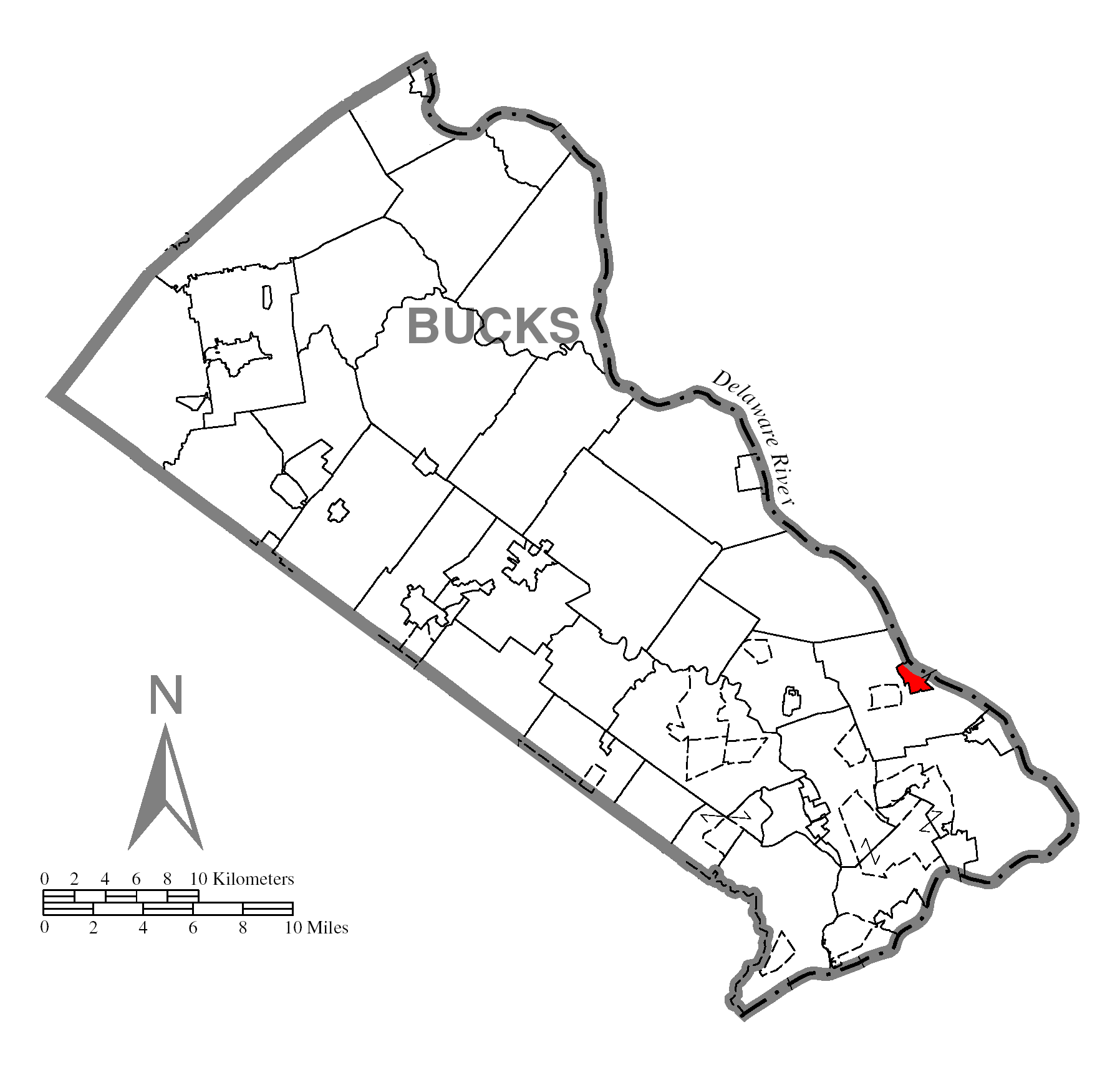
map_caption = Location of Yardley in Bucks County
map1 = Pennsylvania Locator Map.png
map1_caption = Location of Yardley in Pennsylvania
map1_locator = Pennsylvania
map2 = Map of USA PA.svg
map2_caption = Location of Pennsylvania in the United States
website = http://www.bucksnet.com/yardleyYardley is a borough in Bucks County. The small community of Yardley Borough is bordered by the
Delaware River andEwing, NJ on the east, and by Lower Makefield Township on the north, west, and south. The community of Yardley Borough occupies .92 square mile along the Delaware River in Bucks County, Pennsylvania.The population was 2,498 at the 2000 census. Surrounding Lower Makefield Township (often colloquially called Yardley) had a population of 32,681.
Geography
Yardley is located at coor dms|40|14|29|N|74|50|11|W|city (40.241508, -74.836325)GR|1.
According to the
United States Census Bureau , the borough has a total area of 1.0square mile s (2.6km² ), of which, 0.9 square miles (2.4 km²) of it is land and 0.1 square miles (0.3 km²) of it (9.90%) is water.Demographics
The Borough's population has remained stable, while mushrooming growth in surrounding Lower Makefield Township has nearly doubled the area's size since 1980.
As of the censusGR|2 of 2000, there were 2,498 people, 1,170 households, and 649 families residing in the borough. The
population density was 2,729.0 people per square mile (1,048.4/km²). There were 1,209 housing units at an average density of 1,320.8/sq mi (507.4/km²). The racial makeup of the borough was 93.63% White, 3.44% African American, 0.08% Native American, 1.20% Asian, 0.04% Pacific Islander, 0.52% from other races, and 1.08% from two or more races. 1.76% of the population were Hispanic or Latino of any race. The majority of Yardley is part of thePennsbury School District .There were 1,170 households out of which 24.4% had children under the age of 18 living with them, 43.9% were married couples living together, 8.6% had a female householder with no husband present, and 44.5% were non-families. 37.0% of all households were made up of individuals and 10.8% had someone living alone who was 65 years of age or older. The average household size was 2.14 and the average family size was 2.86.
In the borough the population was spread out with 20.4% under the age of 18, 4.8% from 18 to 24, 35.3% from 25 to 44, 24.9% from 45 to 64, and 14.7% who were 65 years of age or older. The median age was 40 years. For every 100 females there were 90.7 males. For every 100 females age 18 and over, there were 86.3 males.
The median income for a household in the borough was $58,221, and the median income for a family was $70,938. Males had a median income of $50,816 versus $41,893 for females. The
per capita income for the borough was $32,802. About 1.7% of families and 3.1% of the population were below thepoverty line , including 2.6% of those under age 18 and 3.3% of those age 65 or over.History
Yardley, Pennsylvania was founded by
William Yardley , who emigrated to America in July, 1682 with his family. He made an agreement withWilliam Penn , before leavingEngland , to buy 500 acres (2 km²) for ten pounds. A survey was completed in October 1682, and the area William Yardley settled was called "Prospect Farm." It was located just outside of the present Yardley Borough. William Yardley died in 1693, and his family in 1702-1703, possibly ofsmallpox .A nephew, Thomas Yardley, came to America in 1704 to settle the estate and never returned to England. He opened a ferry line which started operating in 1710 from Letchworth Avenue, the lower boundary of the village, and landed in
New Jersey further downstream. This was an important link between West Jersey and the three roads leading toPhiladelphia by way of Falls, Langhorne and Newtown. The Yardley family occupied the land for more than 150 years.When Yardley was founded there were already small settlements at nearby Burlington, Bristol, and Falls Ferry.
Yardley began to develop into a village about 1807, and by 1880 had a population of 820. Early industries included a spoke and handle factory, sawmill, felloe factory, plate and plaster mill, and two flour mills. The first post office, established in 1828, used the name "Yardleyville." The name became "Yardley" again at the time the
Reading Railroad came through the area in 1876.During the
American Civil War , Yardley was a station for theUnderground Railroad , an escape route for slaves. Known hiding places were under the eaves of the Continental Hotel (now the Continental Tavern), in bins of warehouses on the Delaware Canal (completed in 1862), and at the General Store (now Worthington Insurance). At Lakeside, the yellow house facing Lake Afton on N. Main St., one brick-walled cellar room is also thought to have been a hiding place.Yardley Borough was incorporated on
March 4 ,1895 .The
Train Collectors Association , which now boasts worldwide membership of 30,000 individuals, was founded in Yardley in 1954. [ [http://www.tcamembers.org/about/index.htm TCA Members: About the TCA] ]Historic timeline
Infobox_nrhp | name =Yardley Historic District
nrhp_type = hd
caption =
location= Roughly bounded by Main St., Afton Ave., Letchworth Ave., Canal St., S. Edgewater Ave., and Delaware Canal, Yardley, Pennsylvania
locmapin = Pennsylvania
area =
built =1830
architect= Martin A. Oscar
architecture= Gothic Revival, Federal
added =May 10 ,2005
governing_body = Private
refnum=05000417cite web|url=http://www.nr.nps.gov/|title=National Register Information System|date=2007-01-23|work=National Register of Historic Places|publisher=National Park Service]
* 1876: The North Pennsylvania RR first constructed the railroad through Yardley in 1876 and was leased by the Reading RR for 100 years starting in 1879.
* 1883: TheUnited States Postal Service changed the name of the town to Yardley from Yardleyville. This was to avoid confusion with theNew York City /Philadelphia train line that made a stop here and at Yardville, NJ.
* 1955: Flooding caused by hurricanes Connie and Diane wiped out the bridge to New Jersey.
* 1961:Scudder Falls Bridge opens, just outside of the borough.
* 1996: Due to student overpopulation of Quarry Hill Elementary School on Quarry Rd near Creamery Rd, Afton Elementary School was constructed in the adjacent lot.
* 1997: A notable jewelry store in Yardley proper suffered damage from a fire. This caused quite a stir in the community. The cause of the fire was determined to be from a cigarette inserted into the building from the exterior.
* 2004:Hurricane Ivan causes worst flood since 1955.
* 2005: On April 4, theDelaware River crested higher than after Hurricane Ivan. The cause was rain and snow melt.
* 2006: In late June, there was more flooding of theDelaware River .References
Wikimedia Foundation. 2010.