- Dandenong Creek Trail
-
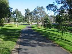
Dandenong Creek and trail, in Bayswater Dandenong Creek Trail Length Approx. 49 km from Kilsyth South to Port Phillip Bay, Carrum Difficulty Easy Hills Minor hill in Vermont South Hazards Water and/or mud can cover path at places, during and after heavy rain Path Mostly concrete & bitumen path, well formed gravel in Parks Victoria managed areas (Jells and Koomba Parks). Connecting Transport Train Bayswater, Glen Waverley, Dandenong, Carrum 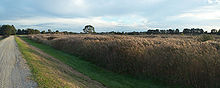 View from Dandenong Creek trail in Dandenong South
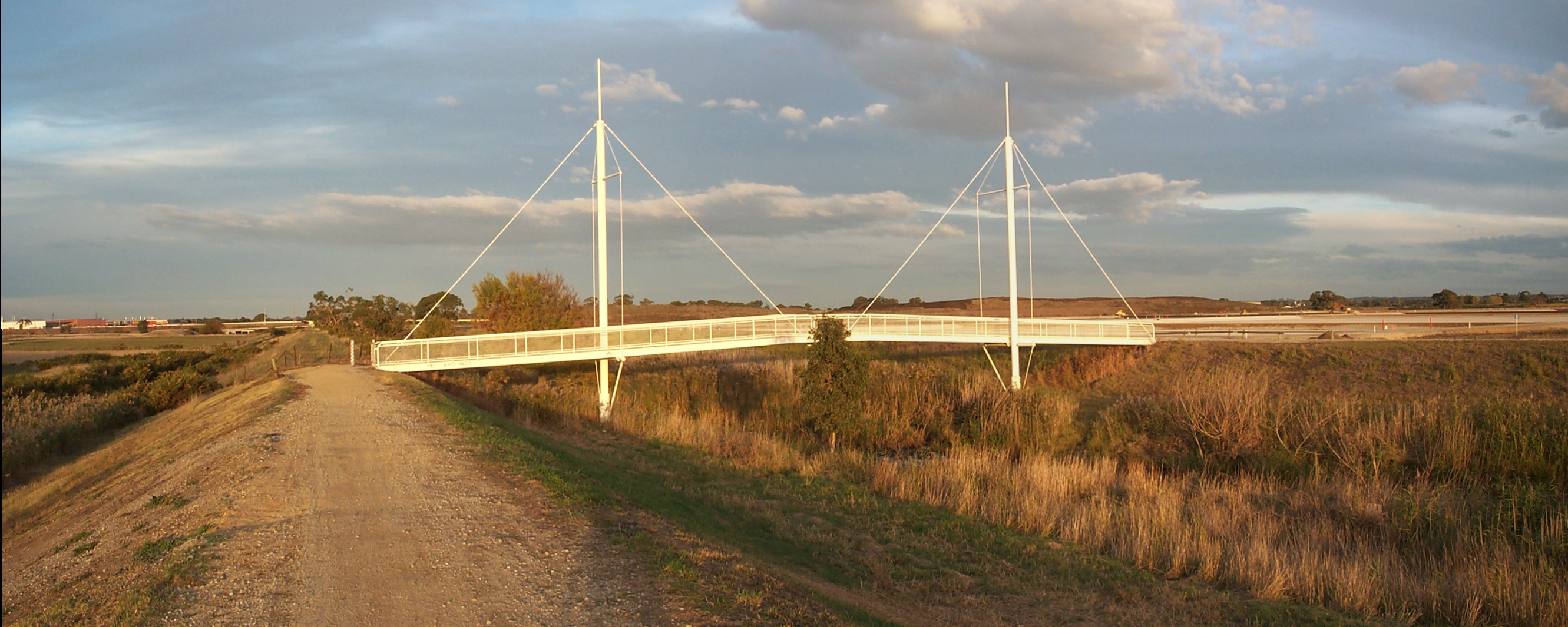
 Bicycle and pedestrian bridge crossing Eummemmering Creek in Bangholme
The Dandenong Creek Trail is a shared use path for cyclists and pedestrians, which follows Dandenong Creek through the outer eastern and south-eastern suburbs of Melbourne, Victoria, Australia.[1][2][3]
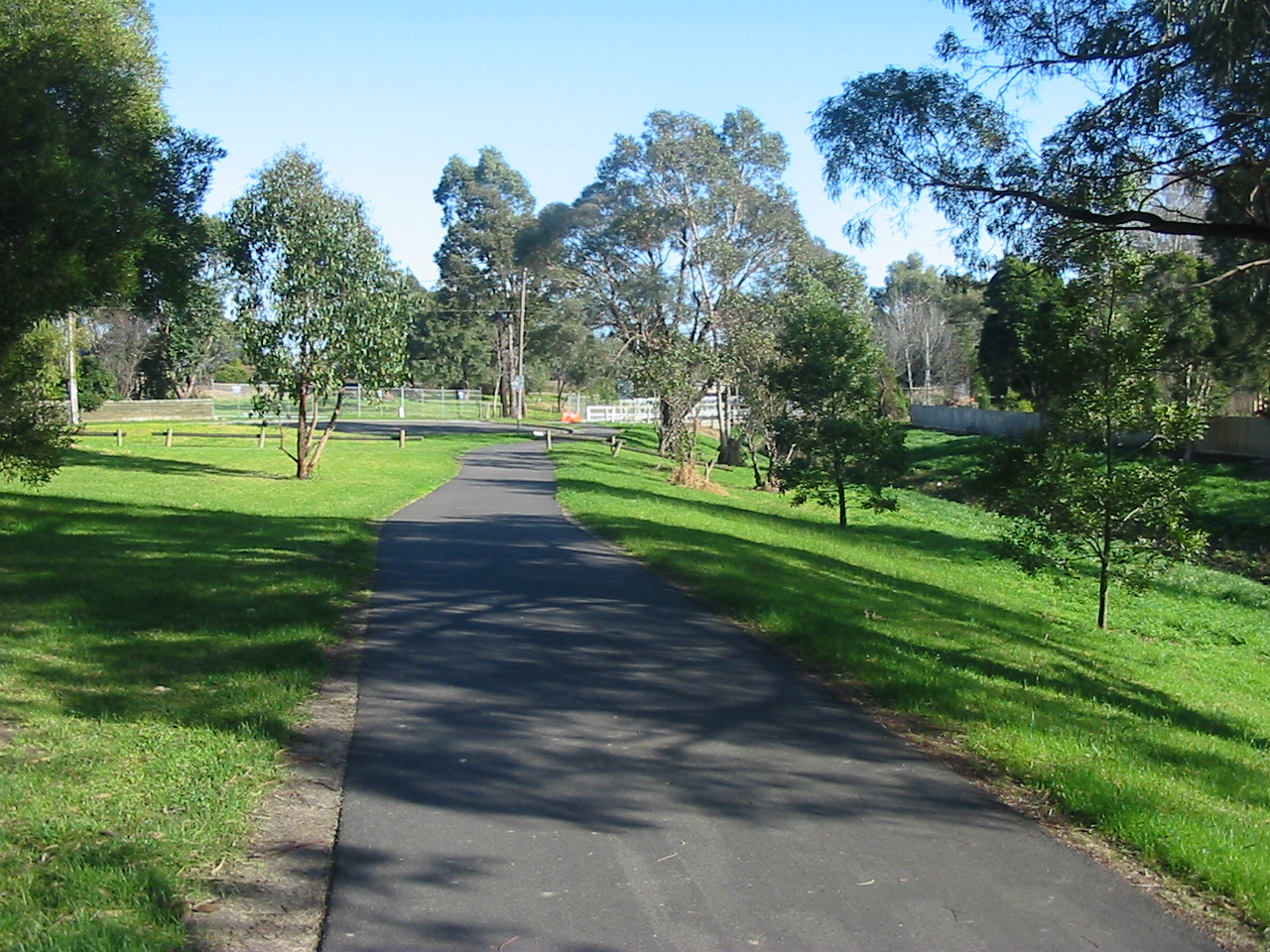
 Dandenong Creek at David Street, Dandenong
Following the Path
The path starts in Kilsyth South at the end of Chandlers Lane, 600m off Liverpool Road but can be accessed at Colchester Road by a path that runs from the The Basin that runs beside Mountain Highway and Colchester Road.
About 3.6 km further on and after Bayswater Rd and on the west side of Bayswater Oval the trail crosses a footbridge. Travellers coming from the opposite direction, should ensure they cross the footbridge, rather than following the white guidelines on the pavement. Following the guidelines leads to the old steam engine at Jim Abernethy Memorial Drv.
Continuing west on the Dandenong Creek Trail, a tunnel goes under the Belgrave railway line. 70m immediately before the underpass, there is a footbridge to the right (north). This is the start of the Tarralla Creek Trail. Just before the underpass on the left (south) is a turnoff to the upper section of the Belgrave Rail Trail. On the far side of the tunnel and 900m on, is a footbridge on the right (north). This is the turnoff to the lower section of the Belgrave Rail Trail. Another 650 is a turnoff to the left. It leads to Waldheim Rd and then joins the Stud Rd path. This 1.5 km stretch is effectively a major intersection for trails and is unsigned - see confusing intersections.
The trail continues on under EastLink and then starts to head south. It goes through an underpass at Boronia Rd.
The trail through Koomba Park has been upgraded to concrete as this section will be shared with the EastLink Trail. Unfortunately this upgrade has now made the turnoff to the Dandenong Creek Trail at the south end of the park difficult to identify. Immediately after the picnic pavilion, before reaching Mountain Highway, turn right off the concrete onto a gravel path.
Just before Burwood Highway the trail passes along some boardwalks. Cross over Burwood Highway to the largest hardware store in the Southern Hemisphere[citation needed] just on the right (west), with the local tip just behind. Just past the tip, two trails lead off to the left (east). They arrive at a lookout tower with a somewhat limited view. Cyclists can use its ramps to ride to the top.
At High Street Rd the path does a zig zag and continues through to Napier Park Reserve. It appears to come to a dead end with the Glenvale Tennis courts directly ahead (south) at Shepherd Rd. Turn left (east) down Shepherd Rd to its far end where the trail resumes.
Turning right and heading up Shepherd Rd to the west, leads to Glen Waverley station using some quiet back streets that are signed, via a 2.6 km long council designated bicycle route.
The Dandenong Creek Trail soon arrives at an intersection with numerous signs and a map in a display cabinet shielded from the weather. Straight ahead (towards the east) is the west end of the Blind Creek Trail. To the left (north) is a dead end trail to Nortons Park. Turn right (south) and continue past the map cabinet on the left.
Open fields on the left, trees on the right and 1.6 km later, the trail crosses a footbridge at the most northern end of the Jells Park wildlife lake. There is a small tee intersection at this point. Turn left and head south, passing along the west side of the lake. Travellers coming from the opposite direction, need to make sure they turn right at the tee intersection, not left (west) and cross the footbridge.
At the southern end of the lake, the Scotchmans Creek Trail peels off to the right (west). Onwards and cross under Ferntree Gully Rd - watch out for water on the path here. From here the Ferny Creek Trail can be reached by travelling along 3.6 km of road: east along Ferntree Gully Rd and then south along Stud Rd. Both these roads have heavy traffic.
1.3 km on at Mulgrave reserve, just north of Wellingtom Rd, it is possible to get confused at the carpark at the north end of the reserve. Heading south, do a sharp left turn. Travellers coming from the opposite direction, should do a sharp right turn into the bushes. In either case just stick to the NE corner of the carpark. (Improvements associated with the Eastlink tollway and trail have provided a well signposted detour as an alternative route here.)
Under the Wellington Rd underpass, under EastLink then past the dead end of Police Rd. The trail narrows between the creek and some houses and 600m from Police Rd opens out onto Tirhatuan Park. There are a few paths through the park but it is easier to just follow the creek and skirt the park on its east side.
Onwards past: Stud Rd, Brady Rd, Monash Freeway, Heatherton Rd, east end of David St (see photo), Kidds Rd and McCrae St - all straightforward. At McCrae St, south of the Thomas P. Carroll Reserve, a shortish on road section leads to the Hallam Bypass Trail.
Another 1.1 km at Lonsdale St, a short diversion leads to Dandenong Station. The creek develops from a creek to more of a canal as it approaches the bay. The path further on is straighforward except for the chance of confusion, where a footbridge crosses Eumemmerring Creek, just after crossing EastLink for the third time. Just loop over the bridge but maintain the original south westerly direction. Downstream from Eumemmerring creek, the stream becomes the Patterson River.
The creek widens with large wetland areas and the Eastern Treatment Plant to the south. The trail travels along an artificial embankment as it passes to the south of National Water Sports Centre near Patterson Lakes.
650m from the mouth of the Patterson River, the trail meets the Bayside Trail at Launching Way.
Landmarks
Dandenong Creek, Koomba Park, Jells Park, Dandenong Valley Wetlands, Port Phillip Bay, frequent sporting and recreational grounds.
Connections
The Dandenong Creek Trail connects to numerous other paths: To the Tarralla Creek Trail, Belgrave Rail Trail and Blind Creek Trail in the north. Centrally to the Scotchmans Creek Trail and the EastLink trail. In the south at Dandenong, it connects to the Hallam Bypass Trail, the Dandenong South Trail and finally the Bayside Trail at Carrum.
Another path leads through to Waldheim Rd and then joins Stud Rd at Mountain Highway. It continues down Stud Rd to Burwood Highway, at Knox City Shopping Centre, where the Blind Creek Trail can be found.
North end at 37°50′31″S 145°18′40″E / 37.8419°S 145.311°E. South end at 38°04′23″S 145°07′20″E / 38.073092°S 145.122138°E.
References
- Bike rides around Melbourne 3rd edition, 2009, Julia Blunden, Open Spaces Publishing, ISBN 978-0-9752333-4-4
- Bike Paths Victoria sixth edition, 2004. Edited and published by Sabey & Associates Pty Ltd. pp112. ISBN 0957959117
External links
- Monash Council map
- Monash Council web site
- Maroondah BUG - Dandenong Creek Trail - northern end
- Commute - Upper Dandenong Creek area - 2006
Categories:


Wikimedia Foundation. 2010.