- Dandenong South, Victoria
-
Dandenong South
Melbourne, Victoria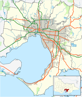
 Dandenong South
Population: 4867 (2006)[1] Postcode: 3175 Area: 5.7 km² (2.2 sq mi) Location: LGA: City of Greater Dandenong State District: Dandenong, Lyndhurst Federal Division: Isaacs Mean max temp Mean min temp Annual rainfall 19.6 °C
67 °F9.0 °C
48 °F762.2 mm
30 inSuburbs around Dandenong South: Dandenong Doveton Eumemmerring Keysborough Dandenong South Hallam Bangholme Lyndhurst Hampton Park Dandenong South is a suburb in Melbourne, Victoria, Australia, 31 km south-east from Melbourne's central business district. Its Local Government Area is the City of Greater Dandenong. At the 2006 Census, Dandenong South had a population of 4867.
Dandenong South is a primarily industrialized suburb that borders Hallam and the City of Casey region. The suburb contains the closed General Motors railway station.
See also
- City of Dandenong - the former local government area of which part of Dandenong South was a part.
- City of Cranbourne - the former local government area of which part of Dandenong South was a part.
References
- ^ Australian Bureau of Statistics (25 October 2007). "Dandenong South (State Suburb)". 2006 Census QuickStats. http://www.censusdata.abs.gov.au/ABSNavigation/prenav/LocationSearch?collection=Census&period=2006&areacode=SSC21217&producttype=QuickStats&breadcrumb=PL&action=401. Retrieved 2007-09-26.
Coordinates: 38°01′52″S 145°12′54″E / 38.031°S 145.215°E
Suburbs of the City of Greater Dandenong | Melbourne | Victoria Bangholme · Dandenong · Dandenong North · Dandenong South · Keysborough · Lyndhurst · Noble Park · Noble Park North · Springvale · Springvale South
Categories:- Suburbs of Melbourne
- Melbourne geography stubs

Wikimedia Foundation. 2010.