- Oakleigh South, Victoria
-
Oakleigh South
Melbourne, Victoria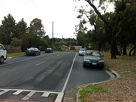
Carroll Road in Oakleigh South
 Oakleigh South
Population: 8,933 (2006)[1] Postcode: 3167 Area: 6.6 km² (2.5 sq mi) Location: 17 km (11 mi) from Melbourne LGA: City of Monash, City of Kingston State District: Clayton Federal Division: Chisholm, Hotham Suburbs around Oakleigh South: Hughesdale Oakleigh Clayton Bentleigh East Oakleigh South Clarinda Moorabbin Heatherton Clarinda Oakleigh South is a suburb of Melbourne, Victoria, Australia. It is located 17 km south-east from Melbourne's central business district.[2] Its Local Government Area is the City of Monash and the City of Kingston.[3][4] At the 2006 Census, Oakleigh South had a population of 8,933.
A largely residential suburb, its boundaries are North Road to the north, Old Dandenong Road to the south, Warrigal Road to the west and Huntingdale/Clarinda Roads to the east.
Oakleigh South Post Office opened on 1 September 1936.[5]
Contents
History
Following the Second World War, Melbourne burst its borders and flowed into semi-rural land. The suburbs Moorabbin and Oakleigh expanded to the south-east. The end of the Second World War also saw an Australian government attitudinal change with regards to immigration. In the 1950s and 1960s, the Australian government formed agreements with many European countries and actively encouraged immigrants from southern and northern Europe. Many southern European migrants settled first in Melbourne’s inner suburbs such as Carlton and Brunswick, but as they became more financially established, and more family and friends arrived, many sought to purchase or build larger homes. Land in developing suburbs such as Oakleigh South provided an ideal opportunity for larger house blocks. Many people chose to build their own houses and local industries provided employment for many of the first generation of Greek and Italian settlers.[6]
Education
Oakleigh South has two primary schools Oakleigh South Primary School and Huntingdale Primary Bilingual School. Oakleigh South has one secondary school South Oakleigh Secondary College.
Transport
Oakleigh South is serviced by Huntingdale railway station.
As part of the Dingley Arterial Project, Old Dandenong Road was connected to South Road, thereby linking suburbs west of Oakleigh South along South Road (such as Bentleigh, Moorabbin, and Brighton) with suburbs to the east of Oakleigh South along Old Dandenong Road (such as Heatherton and Dingley Village).
Sports
Located in southeastern Melbourne's famous Sand Belt, the area is home to three noted private golf clubs: The Metropolitan, Huntingdale and Commonwealth.
The Olympic Ice Skating Centre, where the Melbourne Ice of the AIHL play, is located in Oakleigh South.
Parks
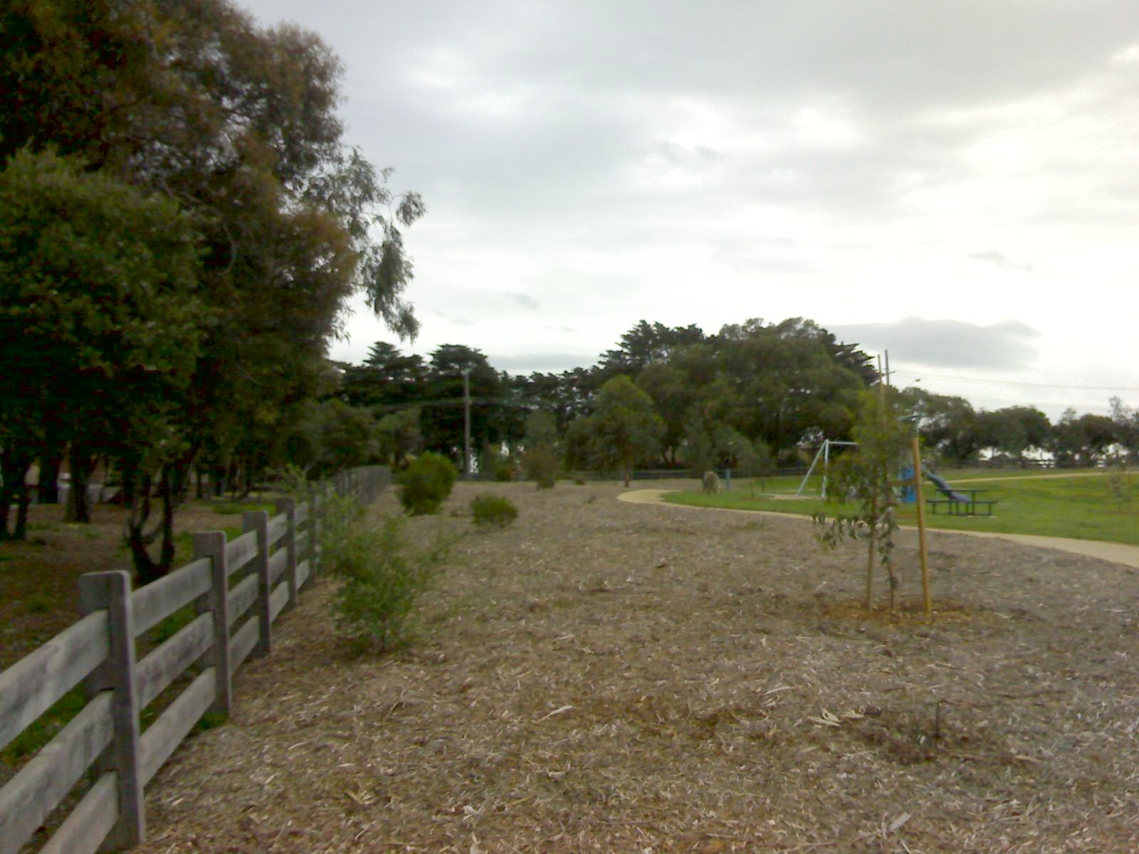
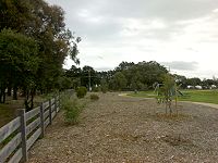 Mavis Hutter Reserve
After the completion of the South Road Extension, Mavis Hutter Reserve was created at the corner of Carroll Road and Bourke Road. The park contains two workstations of outdoor gym equipment, a playground, and a granitic sand track. The playground comprises a slide, swings, and butterfly sculpture. The granitic sand creates a circuit in the park.[7]
Other parks in Oakleigh South are Scammell Reserve, which contains sporting facilities and playgrounds, and Davies and Talbot Park Reserve.[8][9]
The National Trust of Australia has more than 1000 trees listed on its significant tree register. One of these trees is a flowering gum outside the Metropolitan Golf Club's clubhouse in Oakleigh South.[10]
Demographics
According to the Australian Tax Office, the mean yearly taxable income for a Oakleigh South resident is $42,622, which is higher than the Australian average of $39,719. However, even though Oakleigh South residents earn more than the national average, they pay less in income taxes. The average Australian pays $11,554 per year in income taxes while the average Oakleigh South resident pays $9680 per year in income taxes.[11]
The Australian Bureau of Statistics reveals the following demographic facts about Oakleigh South:[1]
- The proportion of households in Oakleigh South where Greek is the main language spoken is 14.2 per cent compared to the Australian average of 1.3 per cent. The proportion of households where Italian is the main language is 4.7 per cent compared to the Australian average of 1.6 per cent.
- Many in Oakleigh South fully own their own home. The proportion of houses that are fully owned (occupant does not pay rent or mortgage) in Oakleigh South is 42.2 per cent compared to the Australian average of 32.6 per cent.
- There are relatively few flats, units, or apartments. Most Oakleigh South residents own separate houses. In Oakleigh South, 3.4 per cent of dwellings are flats, units, or apartments compared to the Australian average of 14.2 per cent.
Liveability
A 2005 report called Liveable Melbourne that was commissioned by The Age and conducted by Tract Consultants and ACIL Tasman, ranked Melbourne suburbs and assigned them scores on fourteen characteristics such as crime, CBD proximity, and traffic congestion. The report found that Oakleigh South had a very low crime rate and good proximity to cafes, restaurants, and shopping facilities. Negative characteristics of Oakleigh South include lack of trams, poor proximity to schools, lack of open spaces, and little topographical variation.[12]
See also
References
- ^ a b Australian Bureau of Statistics (25 October 2007). "Oakleigh South (State Suburb)". 2006 Census QuickStats. http://www.censusdata.abs.gov.au/ABSNavigation/prenav/LocationSearch?collection=Census&period=2006&areacode=SSC21521&producttype=QuickStats&breadcrumb=PL&action=401. Retrieved 2007-09-29.
- ^ http://www.postcodes-australia.com/postcodes/3167
- ^ City of Monash Suburb Names and Boundaries, Department of Sustainability and Environment, Nov 2009.
- ^ City of Kingston Suburb Names and Boundaries, Department of Sustainability and Environment, Nov 2009.
- ^ Premier Postal History, Post Office List, https://www.premierpostal.com/cgi-bin/wsProd.sh/Viewpocdwrapper.p?SortBy=VIC&country=, retrieved 11 April 2008
- ^ History of Clarinda, Oakleigh South, and Clayton South, Kingston Historical Website
- ^ Outdoor Gym, Playground, and Running Track, SafePlay Systems
- ^ Scammell Reserve, Monash City Council.
- ^ Davies and Talbot Park Reserves, Monash City Council.
- ^ Dispute Over Tree Removal, 25 February 2008.
- ^ Monash Residents Earn Well: Stats, Monash Journal, 25 March 2008.
- ^ Suburban Dreaming, The Age, 20 August 2005.
Coordinates: 37°55′01″S 145°05′24″E / 37.917°S 145.09°E
Suburbs of the City of Kingston | Melbourne | Victoria Aspendale · Aspendale Gardens · Braeside · Bonbeach · Carrum · Chelsea · Chelsea Heights · Cheltenham · Clarinda · Clayton South · Dingley Village · Edithvale · Heatherton · Highett · Mentone · Moorabbin · Moorabbin Airport · Mordialloc · Oakleigh South · Parkdale · Patterson Lakes · Waterways
Suburbs of the City of Monash | Melbourne | Victoria Ashwood · Burwood · Chadstone · Clayton · Glen Waverley · Hughesdale · Huntingdale · Mount Waverley · Mulgrave · Notting Hill · Oakleigh · Oakleigh East · Oakleigh South · Wheelers Hill
Categories:- Suburbs of Melbourne

Wikimedia Foundation. 2010.