- Bangholme, Victoria
Infobox Australian Place | type = suburb
name = Bangholme
city = Melbourne
state = vic
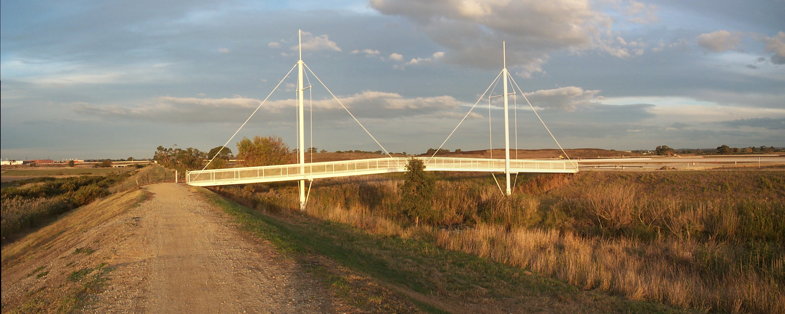
caption = Bicycle and pedestrian bridge crossing Eummemmering Creek in Bangholme
lga = City of Greater Dandenong
postcode = 3175
pop = 556 (2006 census)
area = 30
est =
propval = [ [http://www.domain.com.au/public/SuburbProfile.aspx?suburb=Bangholme&postcode=3175 Bangholme] , accessed1 September 2007 ]
stategov = Lyndhurst
fedgov = Isaacs
dist1 = 37
location1= Melbourne
dist2 = 9
location2= Dandenong
near-nw = Braeside
near-n = Keysborough
near-ne = Dandenong South
near-w = Chelsea Heights
near-e = Lyndhurst
near-sw = Patterson Lakes
near-s = Carrum Downs
near-se = SkyeBangholme is a suburb of
Melbourne , Victoria,Australia . Its Local Government Area is theCity of Greater Dandenong . The area is semi-rural and is part of the Melbourne South Eastern green wedge. Much of the land is used by theMelbourne Water Eastern Sewage Treatment Plant [ [http://www.melbournewater.com.au/content/sewerage/eastern_treatment_plant/eastern_treatment_plant.asp Melbourne Water : Sewerage : Eastern Treatment Plant] ] , with the remainder being mostly small land holdings, with some used for horse acreage.The
EastLink tollway passes through the area.Census 2006 AUS|id=SSC21053|name=Bangholme (State Suburb)|accessdate=2007-09-01|quick=on]The National Water Sports Centre is located in Bangholme adjacent to the
Patterson River . [ [http://www.sport.vic.gov.au/web9/srvdirectory.nsf/a95b38d073e3e7d5ca25713b001a179b/a186ce166703f6104a2569ec002a558e?OpenDocument Sport & Recreation Victoria] ]See also
*
City of Springvale - the former local government area of which Bangholme was a part.References
External links
* [http://web.archive.org/web/20041013061903/www.arts.monash.edu.au/ncas/multimedia/gazetteer/list/bangholme.html Australian Places - Bangholme]
Wikimedia Foundation. 2010.