- Merri Creek Trail
-
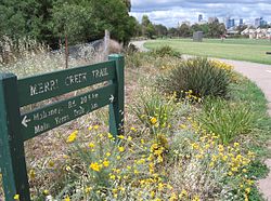
Looking towards the city at Quarries Park Merri Creek Trail Length Approx 21 km Difficulty Easy Hills Undulating Hazards Some blind corners, steep drop into creek, dog droppings on and beside trail, snakes Path Shared use concrete path Connecting Transport The Merri Creek Trail is a shared use path for cyclists and pedestrians, which follows the Merri Creek through the northern suburbs of Melbourne, Victoria, Australia.[1][2][3]
Following the Path
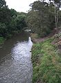
The path commences at Dights Falls near where Merri Creek enters the Yarra River, and then takes a winding route, mainly following the creek all the way to the Western Ring Road Trail. The route is now sealed for its entirety, with the last unsealed sections replaced in 2008. Along the way it passes by CERES, the Brunswick velodrome and the Coburg Lake park.
At the Western Ring Road Trail, heading west will lead you to the Moonee Ponds Creek Trail, Brimbank Park and the Maribyrnong River Trail. La Trobe University Bundoora campus can be accessed by following the trail east.
Landmarks
CERES, Brunswick velodrome, Coburg Lake, HM Prison Pentridge
Connections
- The path joins the Western Ring Road Trail in the north.
- In the south it meets the Yarra River Trail
- In April 2010 connections to the Capital City Trail were improved with the addition of a new bridge across Merri Creek, 160m south of the junction of Union Street and Merri Parade.[4]
North end at 37°41′41″S 144°58′03″E / 37.694670°S 144.967497°E. South end at 37°46′59″S 144°59′33″E / 37.783139°S 144.992628°E.
Gallery
-

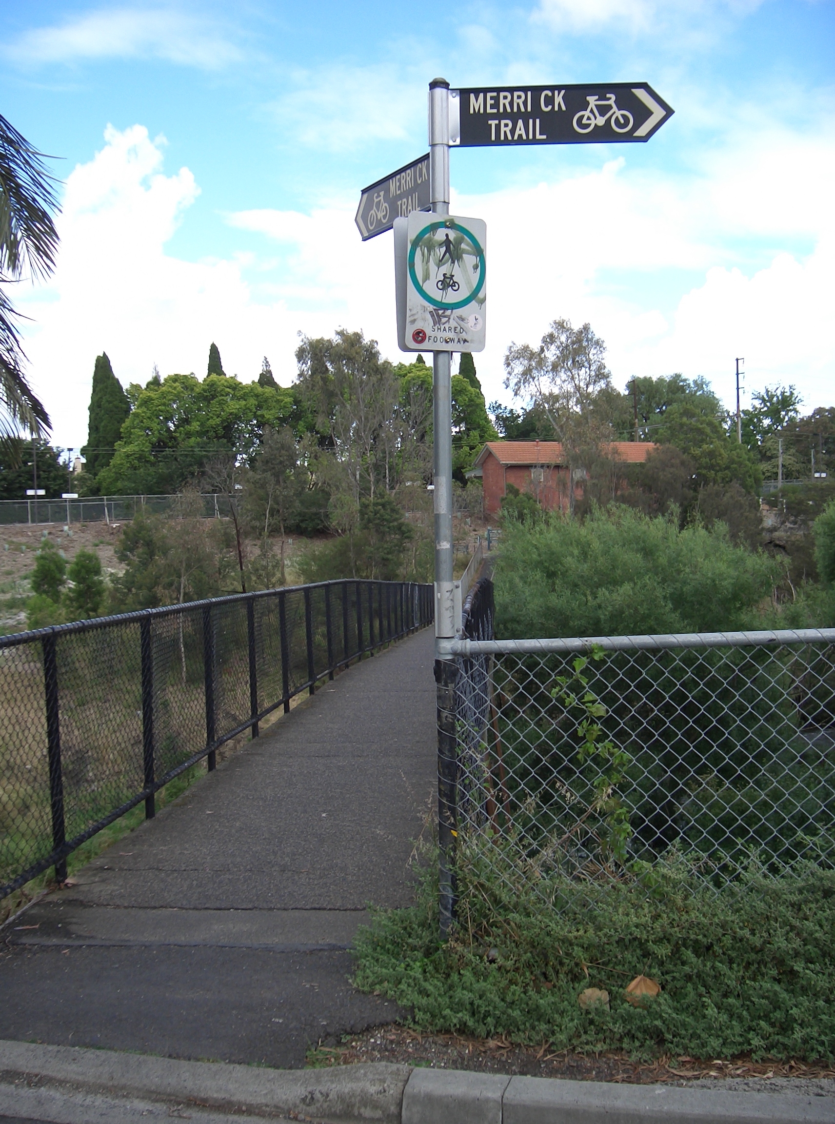
Footbridge to Rushall railway station
-
Revegetation
References
- Bike rides around Melbourne 3rd edition, 2009, Julia Blunden, Open Spaces Publishing, ISBN 978-0-9752333-4-4
- Bike Paths Victoria sixth edition, 2004. Edited and published by Sabey & Associates Pty Ltd. pp124. ISBN 0957959117
External links
Categories:- Bike paths in Melbourne
- Cycling stubs


Wikimedia Foundation. 2010.