- Gamagōri, Aichi
-
Gamagōri
蒲郡市— City — 
Flag
SealLocation of Gamagōriin Aichi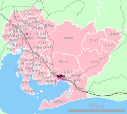

 Gamagōri
Coordinates: 34°50′N 137°13′E / 34.833°N 137.217°ECoordinates: 34°50′N 137°13′E / 34.833°N 137.217°E Country Japan Region Chūbu, Tōkai Prefecture Aichi Government – Mayor Hisao Kanehara Area – Total 56.81 km2 (21.9 sq mi) Population (July 2011) – Total 81,767 – Density 1,440/km2 (3,729.6/sq mi) Time zone Japan Standard Time (UTC+9) City Symbols - Tree Camphor Laurel - Flower Azalea Phone number 0533-66-1111 Address 17-1 Asahi-chō, Gamagōri-shi, Aichi-ken 443-8601 Website City of Gamagōri  Gamagōri City Office
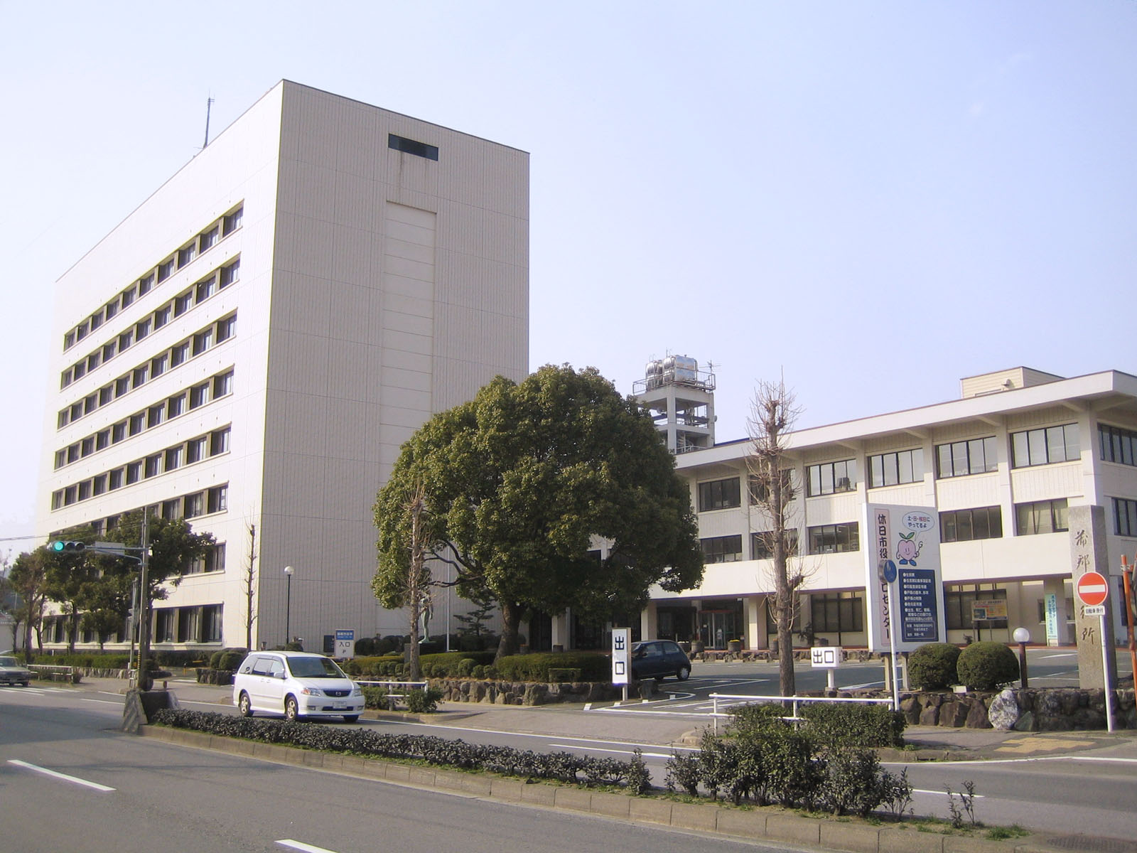
Gamagōri (蒲郡市 Gamagōri-shi) is a city located in Aichi Prefecture, Japan. As of February 2011, the city had an estimated population of 81,767 and the population density of 1,400 persons per km². The total area was 56.81 km².
Contents
Geography
Gamagōri is situated on the coast of Mikawa Bay on the Pacific Ocean in southeastern Aichi Prefecture. Sheltered by Chita Peninsula and Atsumi Peninsula, the climate is mild, and parts of the city is within the borders of the Mikawa Wan Quasi-National Park.
Neighboring municipalities
History
Records of place names in present-day Gamagōri have been found from the Nara period. The area was divided into several shōen during the Heian period, largely under the control of the Udono clan. During the Edo period, most of the area was tenryō territory ruled directly by the Tokugawa shogunate through hatamoto administrators, with portions controlled by Yoshida Domain and Okazaki Domain.
After the start of the Meiji period, Gamagōri Village in Hoi District, Aichi Prefecture was proclaimed on October 1, 1889. Gamagōri was elevated to town status on October 6, 1891. The area of the town expanded through annexation of the neighboring villages of Toyooka, Kaminogo and Shizusato on July 4, 1906. The city of Gamagōri was proclaimed on April 1, 1954 when the town of Gamagōri merged with the neighboring town of Miya and village of Shiotsu. The village of Otsuka joined Gamagōri on October 1, 1956, followed by Katahara on April 1, 1962 and Nishiura on April 1, 1963.
Economy
Gamagōri is a regional commercial center and fishing port, with a mixed economy of light manufacturing and agriculture. Gamagōri is also noted for its production of oranges.
Education
Transportation
Railway
Highway
- Japan National Route 23
- Japan National Route 247
- Japan National Route 248
- Japan National Route 473
Sister city relations
 Gisborne, New Zealand since July 27, 1996
 – Urasoe, Okinawa, since November 4, 1981
Local attractions
As part of Mikawa Wan Quasi-National Park with numerous scenic offshore islands, Gamagōri is noted for marine sports. There are also several hot spring resorts within the city limits. The Gamagōri Matsuri, held in late July features a fireworks display, and the local festival of former Miya village held in October features an event where mikoshi are carried into the sea. The city is also home to the Lagunasia amusement park and Spa Nishiura Motor Park racetrack .
The small fishing community of Nishiura is noted for its onsen (hot spring resorts), some of which are located near its beach front. The area is famous for the medicinal properties of its water and a number of hotels have sprung up to accommodate the tourists visiting these spas.
Noted people from Gamagōri
- Suzuki Mosaburō – politician
- Keiichiro Hirano – Akutagawa-prize winning novelist
- Tamanoumi Masahiro – sumo wrestler
External links
 Media related to Gamagōri, Aichi at Wikimedia Commons
- (Japanese) Official website
- Pictures of Gamagōri
 Aichi Prefecture
Nagoya (capital city) 
Other cities Aichi District Ama District Chita District Kitashitara District Nishikasugai District Niwa District Nukata District Categories:- Cities in Aichi Prefecture
- Port settlements in Japan
- Populated coastal places in Japan


Wikimedia Foundation. 2010.