- Narathiwat Province
-
Narathiwat
นราธิวาส— Province — 

SealMap of Thailand highlighting Narathiwat Province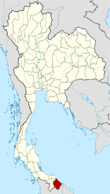
Country  Thailand
Capital Narathiwat Government - Governor of Narathiwat Thanon Vejkorakanont (since October 2009) Area - Total 4,475.0 km2 (1,727.8 sq mi) Area rank Ranked 50th Population (2000) - Total 662,350 - Rank Ranked 36th - Density 148/km2 (383.3/sq mi) - Density rank Ranked 24th Time zone Thailand Standard Time (UTC+7) ISO 3166 code TH-96 Narathiwat (Thai: นราธิวาส) is one of the southern provinces (changwat) of Thailand. Neighboring provinces are (from west clockwise) Yala and Pattani. To the south it borders the Malaysian state of Kelantan. The southern railway line ends in this province that is one of the nation’s five provinces that borders Malaysia.[1] The name of this province means “the residence of good people”[1]. The province features a range of cultures as well as natural resources, and is relatively fertile. Narathiwat is located some 1,140 kilometers south of Bangkok and occupies an area of 4,475 square kilometers. Seventy five percent of the area is jungles and mountains. The area has a tropical climate.
Contents
Geography
Narathiwat province is located on the Gulf of Thailand, on the Malay Peninsula. The Bang Nara is the main river and enters the Gulf of Thailand at the town of Narathiwat. Narathat beach, the most popular in the province, is near the estuary.
Budo - Su-ngai Padi National Park is located within the Sankalakhiri mountain range. Established in 1974, the park covers an area of 294 km², extending into neighbouring Yala and Pattani province. The main attraction is Pacho Waterfall.[2]
Etymology
The original name of Narathiwat was Menara (Jawi: منارا), meaning a 'tower' in Malay. This was changed to Bang Nara (บางนรา) in Thai. It was finally changed to Narathiwat by King Rama VI in 1915.[3] "Narathiwat", from the Sanskrit (Nara+adhivāsa), means the residence of wise people.
History
Historically Narathiwat was the part of the semi-independent Malay Sultanate of Patani, paying tribute to the Thai kingdoms of Sukhothai and Ayutthaya. After Ayutthaya fell in 1767, Sultanate of Patani gained full independence, but under King Rama I it again came under Thai control some 20 years later.
In 1909, Narathiwat was fully integrated into Siam as part of Anglo-Siamese Treaty of 1909 negotiated with the British Empire. Along with Yala, Narathiwat was then part of Monthon Pattani. There is a small but active separatist movement, which after being dormant for many years erupted again in 2004.
Demographics
Narathiwat is one of the four Thai provinces which have a Muslim majority; 82% are Muslim and only 17.9% are Buddhist.[4] Also 80.4% speak the Patani Malay as their first language.[1] Narathiwat Malays are very similar in ethnicity and culture to the Malays of Kelantan, Malaysia.
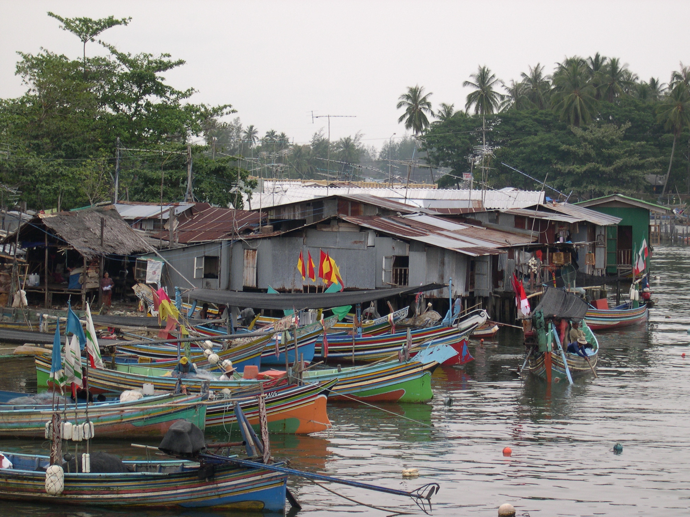
The inhabitants of Narathiwat are largely farmers and fishermen.[5] On account of the religion, Narathiwat is an area with various religious places to go sightseeing.[citation needed]
Symbols
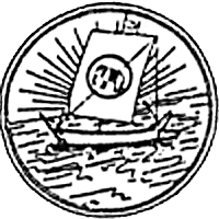
The provincial seal shows a sailing boat with a white elephant on the sail. A white elephant is a royal symbol, and was put on the seal to commemorate the white elephant Phra Sri Nararat Rajakarini which was caught here and presented to the king.
The provincial symbol is the longkong fruit (Lansium domesticum). The provincial tree is the Chengal (Neobalanocarpus heimii), and the provincial flower is the Odontadenia macrantha.
Administrative divisions
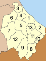
Narathiwat is subdivided into 13 districts (amphoe), which are further subdivided into 77 subdistricts (tambon) and 551 villages (muban).
- Waeng
- Sukhirin
- Su-ngai Kolok (Malay: Sungai Golok)
- Su-ngai Padi (Malay: Sungai Padi)
- Chanae
- Cho-airong
Local government entities within the province are the two towns (thesaban mueang) Narathiwat and Sungai Kolok, and 12 subdistrict municipalities (thesaban tambon).
Recent history
Main article: South Thailand insurgencyThere has been unrest in southern Thailand since January 4, 2004, especially in the majority Muslim provinces of Narathiwat, Yala, and Pattani. Most of the inhabitants of these provinces also are ethnic Malays. The violent mujahideen activity has been occurring since the 1980s. While the population may not support the separatists, many are nevertheless disaffected by the perceived heavy-handedness of the crackdown on the mujahideen by the central government.
On October 26, 2004, 78 Narathiwat Muslims suffocated after being arrested and stacked in police trucks in Tak Bai, allegedly for taking part in riots around the province.
On June 8, 2009, at least 10 people died in a shooting during the Muslim evening prayers. Five or six gunmen disguised themselves with ski masks and attacked a Mosque. The army in Thailand has denied involvement in the shooting.[6]
Attractions
Religious Sites
Central Mosque of Narathiwat
The important religious site for Muslims is the Central Mosque of Narathiwat. This mosque is located on Pitchitbamrung Road, Tambon Bangnark, Amphoe Muang, about 1 kilometer from the provincial town. This mosque is the center of Thai Muslims who come to do their religious practice on Friday. It was built in 1981 in a three-storied Arabian-style building with a high tower and a domed roof as other mosques. The tower is used to call Muslims to prayer. It has been perfectly constructed by applying modern art blended with classical art intrigue.[7]
Khao Kong Buddhist Park
As has already been noted, 17.9 percent of the people in Narathiwat are Buddhist.[4] Although it is a minority of the people, there are also Buddhist places in the same Amphoe of the mosque. The most famous one is Khao Kong Buddhist Park that occupies an area of 142 rai (227,200 square metres (2,446,000 sq ft)) in Tambon Lamphu about 9 kilometers from town on the Narathiwat-Rangae Road.[1]
Pra Buddha Thaksin Ming Monkol
The main attraction in this site is a graceful southern Buddha image, the golden “Pra Buddha Thaksin Ming Monkol”,[7] which is seated in the lotus position and giving posture. “This mountaintop Buddha image which is considered to be the most beautiful and largest (17 meters wide and 24 meters high) outdoor Buddha image in southern Thailand is decorated in the South Indian style”.[1] It is highly respected by locals and Buddhists in the South.[5]
Transportation
Airlines
The direct flights fly from Bangkok to Narathiwat everyday. Currently, the services is operated by two airlines from two different airport.
Nok Airlines
- Don Mueang (DMK) 10:10 am arr. Narathiwat (NAW) 11:40 am (daily)
- Narathiwat (NAW) 12:10 am arr. Don Mueang (DMK) 1:40 pm (daily)
Air Asia
- Suvarnabhumi (BKK) 10:30 am arr. Narathiwat (NAW) 12:00 am (daily)
- Narathiwat (NAW) 12:25 am arr. Suvarnabhumi (BKK) 1:50 pm (daily)
References
- ^ a b c d e Tourism Authority of Thailand. (2006). Narathiwat. Retrieved February 4, 2007, from http://www.tourismthailand.org/destinationguide/list.aspx?provinceid=76&typeid=7
- ^ "udo - Su-ngai Padi National Park". National Park, Wildlife and Plant Conservation Department. http://www.dnp.go.th/parkreserve/asp/style1/default.asp?npid=119&lg=2.
- ^ "ประกาศ เปลี่ยนชื่อเมืองบางนรา เป็นเมืองนราธิวาส" (in Thai) (PDF). Royal Gazette 32 (0 ก): 145. August 8, 1915. http://www.ratchakitcha.soc.go.th/DATA/PDF/2458/A/145.PDF.
- ^ a b Narathiwat province. (2007, January 17). Retrieved February 4, 2007, from http://en.wikipedia.org/w/index.php?title=Narathiwat_Province&oldid=101239820
- ^ a b Tasanasuwan, P. (1991). Changwat kong rao sib see changwat pak tai [Our province 14 provinces in the South]. Bangkok: Thai Watana Panitch
- ^ "Army denies role in Thai attack". BBC News. June 9, 2009. http://news.bbc.co.uk/1/hi/world/asia-pacific/8090599.stm. Retrieved April 6, 2010.
- ^ a b Government of Narathiwat. (2000). Narathiwat Thailand [Brochure]. Narathiwat: Author.
External links
- http://www.narathiwat.go.th/ Website of province (Thai)
- Province page from the Tourist Authority of Thailand

Pattani Province Gulf of Thailand Yala Province 
 Narathiwat Province

 Perak,
  Malaysia
 Kelantan, Malaysia
Provinces of Thailand Capital: Bangkok North North-East Amnat Charoen · Bueng Kan · Buri Ram · Chaiyaphum · Kalasin · Khon Kaen · Loei · Maha Sarakham · Mukdahan · Nakhon Phanom · Nakhon Ratchasima · Nong Bua Lamphu · Nong Khai · Roi Et · Sakon Nakhon · Sisaket · Surin · Ubon Ratchathani · Udon Thani · YasothonCentral Ang Thong · Chai Nat · Kamphaeng Phet · Lop Buri · Nakhon Nayok · Nakhon Pathom · Nakhon Sawan · Nonthaburi · Pathum Thani · Phetchabun · Phichit · Phitsanulok · Phra Nakhon Si Ayutthaya · Samut Prakan · Samut Sakhon · Samut Songkhram · Saraburi · Sing Buri · Sukhothai · Suphan Buri · Uthai ThaniEast West South Chumphon · Krabi · Nakhon Si Thammarat · Narathiwat · Pattani · Phang Nga · Phatthalung · Phuket · Ranong · Satun · Songkhla · Surat Thani · Trang · YalaCoordinates: 6°25′44″N 101°49′26″E / 6.42889°N 101.82389°E


Wikimedia Foundation. 2010.