- Mosty u Jablunkova
-
Mosty u Jablunkova
Mosty koło Jabłonkowa— Village — Saint Hedwig Church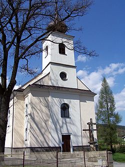

Flag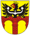
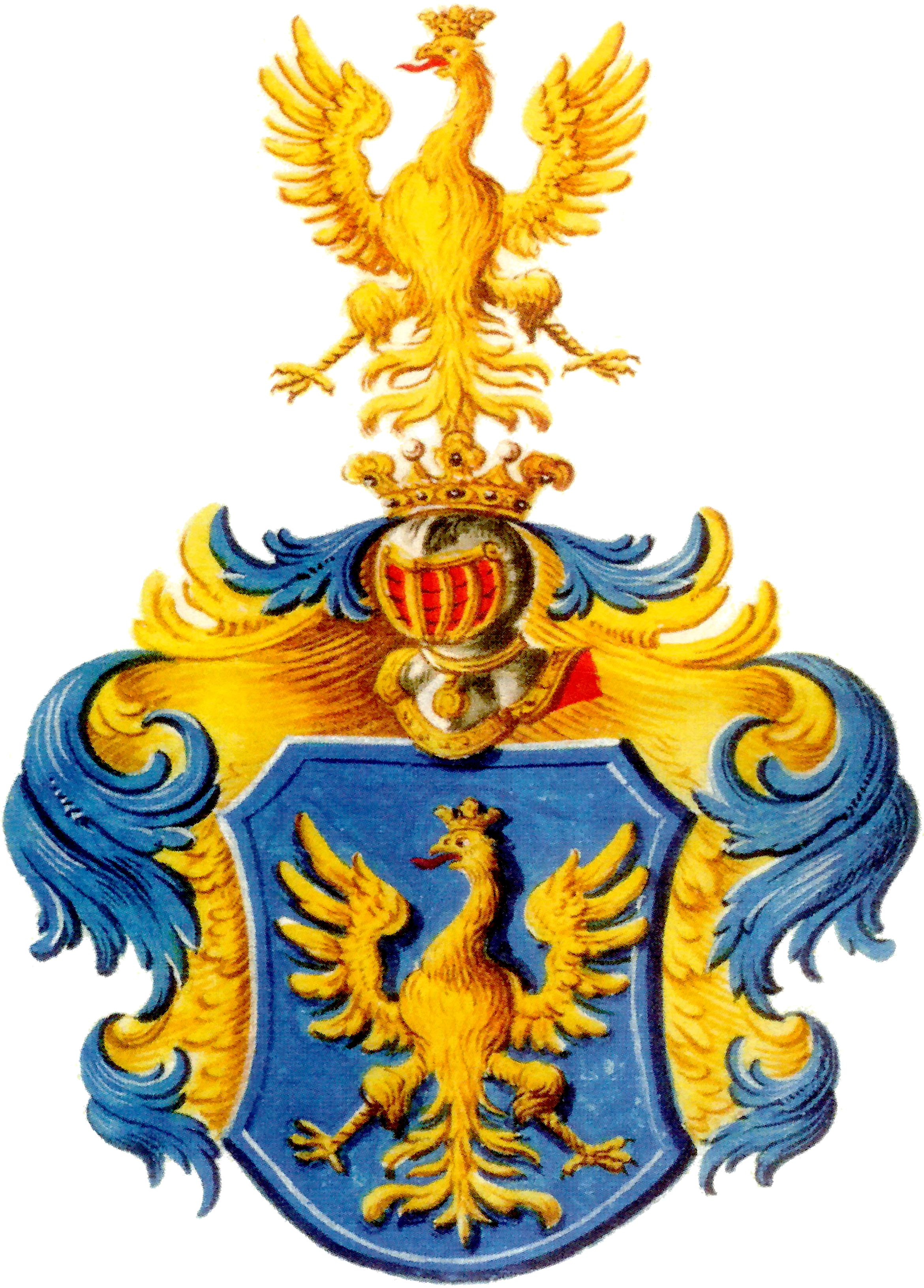
Coat of armsLocation in the Czech Republic

Coordinates: 49°31′34″N 18°45′13″E / 49.52611°N 18.75361°E Country Czech Republic Region Moravian-Silesian District Frýdek-Místek First mentioned 16th century Government – Mayor Josef Szotkowski Area – Total 33.95 km2 (13.1 sq mi) Elevation 490 m (1,608 ft) Population (2009) – Total 3,997 – Density 117.7/km2 (304.9/sq mi) Postal code 739 98 Website http://www.mostyujablunkova.cz/  Mosty u Jablunkova (help·info) (Polish: Mosty koło Jabłonkowa , German: Mosty bei Jablunkau) (1920-1949: Mosty)[1] is a village in the Moravian-Silesian Region of the Czech Republic, located in the Jablunkov Pass. It has 3,997 inhabitants, 18.3% of the population are the Poles[2]. 83.9% of the population are religious, of whom 93.8% are Catholic. It lies in the historical region of Cieszyn Silesia, on the slopes of the Silesian Beskids mountain range.
Contents
Recreation
There are many opportunities for sport and recreation in the village:
- Three pistes with natural and artificial snow and also night skiing
- Small aquapark
- Football field, volleyball fields
- Gym
Transport
Rail
Mosty u Jablunkova has two railway stations, and is served by ČD track 320 from Žilina to Bohumín. Below the highest point of Jablunkov Pass are two railway tunnels 600 meters long.
Bus
Buses connect Mosty u Jablunkova with Jablunkov and Hrčava. There are 18 bus stops in the village.
Car
European road E75 runs through Mosty u Jablunkova from Jablunkov and continues to Slovakia. There is also a customs office on the route, though border checks have been abolished with both countries' accession to the Schengen zone.
Symbols
Coat of arms
The coat of arms of Mosty u Jablunkova consists of a two-arched red brick bridge in golden shield and a black Silesian eagle.
Flag
The flag of Mosty u Jablunkova contains three vertical stripes: white, yellow and white in ratio 1:2:1. The yellow stripe contains an unbound reproduction of the coat of arms. The flag ratio is 2:3.
Footnotes
- ^ Hosák et al. 1980, 99.
- ^ "2001 census data". Czech Statistical Office. http://www.czso.cz/sldb/sldb2001.nsf/obce/598453?OpenDocument.
References
- Hosák, Ladislav; and Rudolf Šrámek (1980). Místní jména na Moravě a ve Slezsku II, M-Ž. Praha: Academia.
External links
- (Czech) Official website
- (Czech) Ski centre Mosty u Jablunkova
- (Czech) Ski centre Mosty u Jablunkova
Towns and villages in Zaolzie with significant Polish population* Albrechtice (Olbrachcice) · Bocanovice (Boconowice) · Bukovec (Bukowiec) · Bystřice (Bystrzyca) · Český Těšín (Czeski Cieszyn) · Chotěbuz (Kocobędz) · Dolní Lomná (Łomna Dolna) · Hnojník (Gnojnik) · Horní Lomná (Łomna Górna) · Horní Suchá (Sucha Górna) · Hrádek (Gródek) · Jablunkov (Jabłonków) · Karviná (Karwina)** · Komorní Lhotka (Ligotka Kameralna) · Košařiska (Koszarzyska) · Milíkov (Milików) · Mosty u Jablunkova (Mosty koło Jabłonkowa) · Návsí (Nawsie) · Nýdek (Nydek) · Písečná (Pioseczna) · Písek (Piosek) · Petrovice u Karviné (Piotrowice koło Karwiny) · Řeka (Rzeka) · Ropice (Ropica) · Smilovice (Śmiłowice) · Stonava (Stonawa) · Střítež (Trzycież) · Těrlicko (Cierlicko) · Třanovice (Trzanowice) · Třinec (Trzyniec) · Vělopolí (Wielopole) · Vendryně (Wędrynia)
* More than 10% of total population; 2001 census data. **Karviná fell under 10% in the 2001 census.
Villages with significant Polish population under the administration of another municipality are not listed.Towns and villages of Frýdek-Místek District Baška · Bílá · Bocanovice · Brušperk · Bruzovice · Bukovec · Bystřice · Čeladná · Dobrá · Dobratice · Dolní Domaslavice · Dolní Lomná · Dolní Tošanovice · Fryčovice · Frýdek-Místek · Frýdlant nad Ostravicí · Hnojník · Horní Domaslavice · Horní Lomná · Horní Tošanovice · Hrádek · Hrčava · Hukvaldy · Jablunkov · Janovice · Kaňovice · Komorní Lhotka · Košařiska · Kozlovice · Krásná · Krmelín · Kunčice pod Ondřejníkem · Lhotka · Lučina · Malenovice · Metylovice · Milíkov · Morávka · Mosty u Jablunkova · Návsí · Nižní Lhoty · Nošovice · Nýdek · Ostravice · Palkovice · Paskov · Pazderna · Písečná · Písek · Pražmo · Pržno · Pstruží · Raškovice · Ropice · Řeka · Řepiště · Sedliště · Smilovice · Soběšovice · Staré Hamry · Staré Město · Staříč · Střítež · Sviadnov · Třanovice · Třinec · Vělopolí · Vendryně · Vojkovice · Vyšní Lhoty · Žabeň · Žermanice
Coordinates: 49°31′34″N 18°45′13″E / 49.52611°N 18.75361°E
This Moravian-Silesian Region location article is a stub. You can help Wikipedia by expanding it.