Silesian Beskids

Silesian Beskids

Geobox|Range
name = Silesian Beskids
other_name = Beskid Śląski, Slezské Beskydy
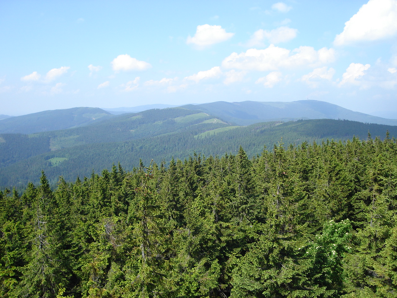


image_caption = View of Skrzyczne from the watchtower on Barania Góra


map_caption=
country = Poland, Czech Republic
region =
parent = Outer Western Carpathians
area = 54
highest = Skrzyczne
highest_elevation = 1257
highest_lat_d = 49|highest_lat_m = 41|highest_lat_s = 0|highest_lat_NS = N
highest_long_d = 19|highest_long_m = 3|highest_long_s = 0|highest_long_EW = E

Silesian Beskids (Polish: Audio-nohelp|Beskid Slaski.ogg|"Beskid Śląski", Czech: Audio-nohelp|Slezske Beskydy.ogg|"Slezské Beskydy", _de. Schlesischen Beskiden) is one of the Beskids mountain ranges in Outer Western Carpathians in southern Silesian Voivodeship, Poland and the eastern Moravian-Silesian Region, Czech Republic.

Most of the range lies in Poland. It is separated from the Moravian-Silesian Beskids by the Jablunkov Pass.

The Polish part of the range includes the protected area called Silesian Beskids Landscape Park.

Mountains

* Skrzyczne (1,257 m) - the highest mountain
* Barania Góra (1,220 m) - the highest mountain of the Polish part of Upper Silesia
* Czantoria Wielka (995 m) - the highest mountain of the Czech part of the range
* Stożek Wielki (978 m)

See also

* Cieszyn Silesia
* Polish minority in the Czech Republic

External links

* [http://www.beskidslaski.pl/ Regional Tourist Service]


Wikimedia Foundation. 2010.

Игры ⚽ Поможем сделать НИР

Look at other dictionaries:

  • Silesian Beskids Landscape Park — Infobox protected area name = Silesian Beskids Landscape Park native name = Park Krajobrazowy Beskidu Śląskiego iucn category = V caption = location = south Poland area = 386.2 km² established = 1998Silesian Beskids Landscape Park ( pl. Park… …   Wikipedia

  • Moravian-Silesian Beskids — (Moravskoslezské Beskydy) Mountain Range …   Wikipedia

  • Smrk (Moravian-Silesian Beskids) — Geobox|Mountain name = Smrk native name = other name = category = etymology = nickname = country = Czech Republic | country state = region = Moravian Silesian district = Frýdlant nad Ostravicí | district type = Little District | district label =… …   Wikipedia

  • Beskids Golgota — is a Way of the Cross on the hill Matyska in Radziechowy Village (South Poland near of Żywiec) in the Silesian Beskids.External links* [http://www.golgota beskidow.pl/aktualnosci.htm Golgota Beskidów ] (pl) …   Wikipedia

  • Silesian Voivodeship — Infobox Settlement name = Silesian Voivodeship native name=Województwo śląskie settlement type= image shield = Śląskie herb.svg map caption = Location within Poland map caption1 = Division into counties subdivision type=Country subdivision… …   Wikipedia

  • Moravian–Silesian Region — Moravia Silesia Moravskoslezsko Undermined church in Karviná …   Wikipedia

  • Moravian-Silesian Region — Geobox | Region name = Moravian Silesian other name = category = Region image caption = Undermined church in Karviná symbol = Moravian Silesian Region CoA CZ.svg symbol size = 80 etymology = official name = Moravskoslezský kraj motto = nickname …   Wikipedia

  • Lower Silesian Voivodeship — For the historical region, see Lower Silesia. Lower Silesian Voivodeship Województwo dolnośląskie   Voivodeship   …   Wikipedia

  • Cieszyn Silesian dialect — Rest in peace grave inscription in Cieszyn Silesian dialect. Cieszyn Silesian dialect (Polish: gwara cieszyńska or dialekt cieszyński; Czech: těšínské nářečí, locals using this dialect say they speak po naszymu ) is one of the Silesian dialects.… …   Wikipedia

  • Upper Silesian Coal Basin — The Upper Silesian Coal Region around Kattowitz (Katowice) in 1905 Upper Silesian Coal Basin (Polish: Górnośląskie Zagłębie Węglowe, GZW, Czech: Hornoslezské uhelné pánve) is a coal basin in Silesia in Poland and …   Wikipedia

Share the article and excerpts

Direct link
Do a right-click on the link above
and select “Copy Link”