- Kończyce Małe
Infobox Settlement
official_name = Kończyce Małe
native_name =
nickname =
settlement_type = Village
motto =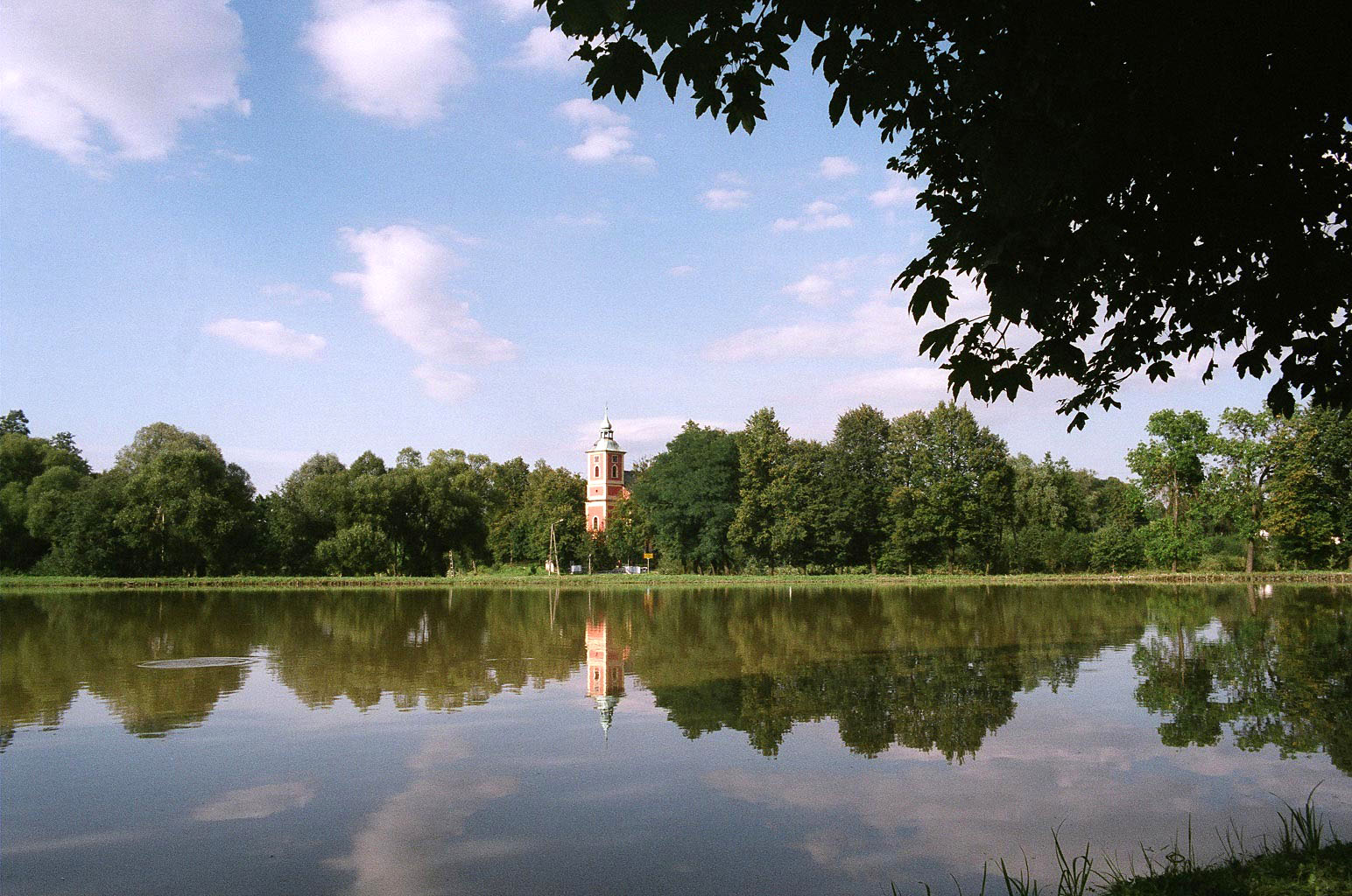
imagesize =
image_caption = View on the church from the château
image_
image_shield =
pushpin_
pushpin_label_position = bottom
pushpin_map_caption =
pushpin_mapsize =
subdivision_type = Country
subdivision_name =Poland
subdivision_type1 =Voivodeship
subdivision_name1 = Silesian
subdivision_type2 = County
subdivision_name2 = Cieszyn
subdivision_type3 =Gmina
subdivision_name3 = Zebrzydowice
subdivision_type4 =
subdivision_name4 =
government_footnotes =
government_type =
leader_title = Mayor
leader_name = Janina Węglorz
established_title = First mentioned
established_date = 1305
unit_pref =
area_footnotes =
area_total_km2 =
area_land_km2 =
population_as_of =
population_footnotes =
population_note =
population_total = 2900
population_density_km2 =
timezone = CET
utc_offset = +1
timezone_DST = CEST
utc_offset_DST = +2
latd= 49 |latm= 50 |lats= 52.59 |latNS= N
longd= 18 |longm= 37 |longs= 53.05 |longEW= E
elevation_footnotes =
elevation_m =
postal_code_type =
postal_code =
area_code =
blank_name = Car plates
blank_info = SCI
website =
footnotes =Audio|Konczyce Male.ogg|Kończyce Małe is a village in
Gmina Zebrzydowice ,Cieszyn County ,Silesian Voivodeship , southernPoland , near the border with theCzech Republic . It has a population of about 2,900. It lies in the historical region ofCieszyn Silesia , on thePiotrówka River .It was first mentioned in a written document in
1305 . There is achâteau built in the 15th century in the village, lying on the shore of a pond. There are several ponds in the village.See also
*
Kończyce Wielkie External links
* [http://konczycemale.w.interia.pl/zamek/glowna.html Description of the château]

Wikimedia Foundation. 2010.